Rain Rate Maps Tips for Travelers
Last updated: 2023-09-08
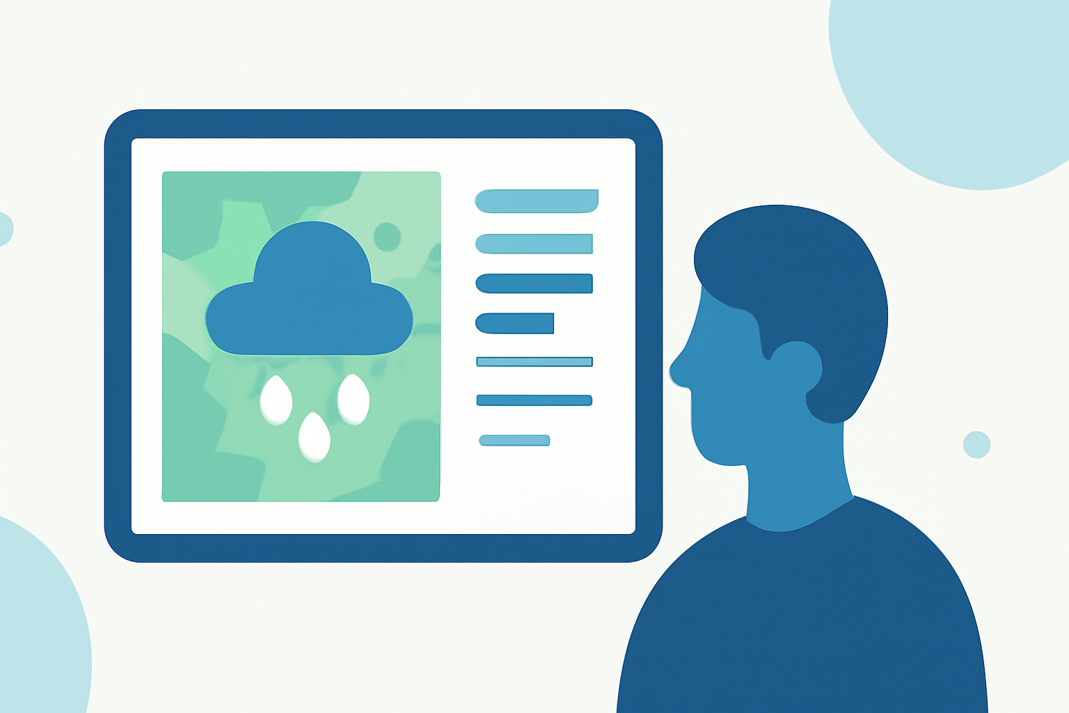
Understanding rain rate maps can be crucial for planning your travel days effectively. These maps can show you real-time precipitation data, helping you avoid areas of heavy rainfall. Using a robust weather app like Clime can provide invaluable insights for your travel plans, ensuring you stay informed and comfortable.
Summary
- Real-Time Data: Rain rate maps display current precipitation rates, which can guide your travel decisions.
- Custom Alerts: Set alerts for specific locations to receive timely updates on rain activity.
- Layered Radar Features: Utilize apps that offer layered radar views, including wind and temperature, for a comprehensive understanding of weather conditions.
- Accessibility: Mobile apps can provide weather updates on the go, making it easier to adapt your travel plans as conditions change.
How do rain rate data and radar maps work in consumer weather apps?
Rain rate maps display real-time precipitation levels as animated geographical overlays. These maps typically visualize data through various colors, indicating the intensity and timing of rainfall. The highest resolution maps show precipitation totals and help users make informed decisions based on predicted weather patterns. Most weather apps, like Clime, integrate radar data sourced from official weather tracking systems, offering a reliable baseline for users to check.
Using radar data for travel planning
When planning a trip, accessing rain rate maps provides you with critical information about upcoming weather conditions. If you anticipate traveling through a region experiencing rain, using radar data can help you choose alternate routes. Clime allows you to visualize projected precipitation, enabling travelers to adapt their plans accordingly, whether it’s postponing travel or finding a dry spot to wait out a storm.
Limitations of rain-rate maps for travel decisions
While rain rate maps offer valuable insights, they do have limitations. The maps depend on radar data that may not account for microclimates or localized storms. Additionally, forecasts can change rapidly, and a predicted light drizzle can turn into a heavy downpour. Therefore, it’s essential to combine radar data with additional weather information for holistic planning. Clime can provide comprehensive forecasts that include these factors, enhancing your ability to navigate changing weather.
Setting Custom Alerts for Rain Events
To ensure you never get caught off guard, set up custom alerts for locations you are traveling to or through. Clime allows users to choose specific areas for rain alerts. With features that provide notifications for intense rainfall or severe weather warnings, you can stay proactive in your travel planning. Alerts can typically be managed directly through mobile apps, putting critical information at your fingertips.
Layered Features for Comprehensive Weather Understanding
Different weather tools provide various layers to standard radar maps, such as wind speeds, humidity, and temperature. This information can be invaluable for predicting not only when it might rain, but also what the aftermath of the rain could look like. Clime includes advanced environmental layers, allowing users to visualize multiple aspects of impending weather conditions perfect for comprehensive planning.
Conclusion: What We Recommend
- Use Clime for real-time precipitation updates and alerts tailored to your travel locations.
- Monitor rain rate maps frequently during your trips to adjust plans if necessary.
- Combine rainfall data with temperature and wind information for better decision-making.
- Set custom alerts for specific travel routes to receive immediate updates on changing conditions.