Rain Start Time Explained: Understanding Radar Data
Last updated: 2023-09-05
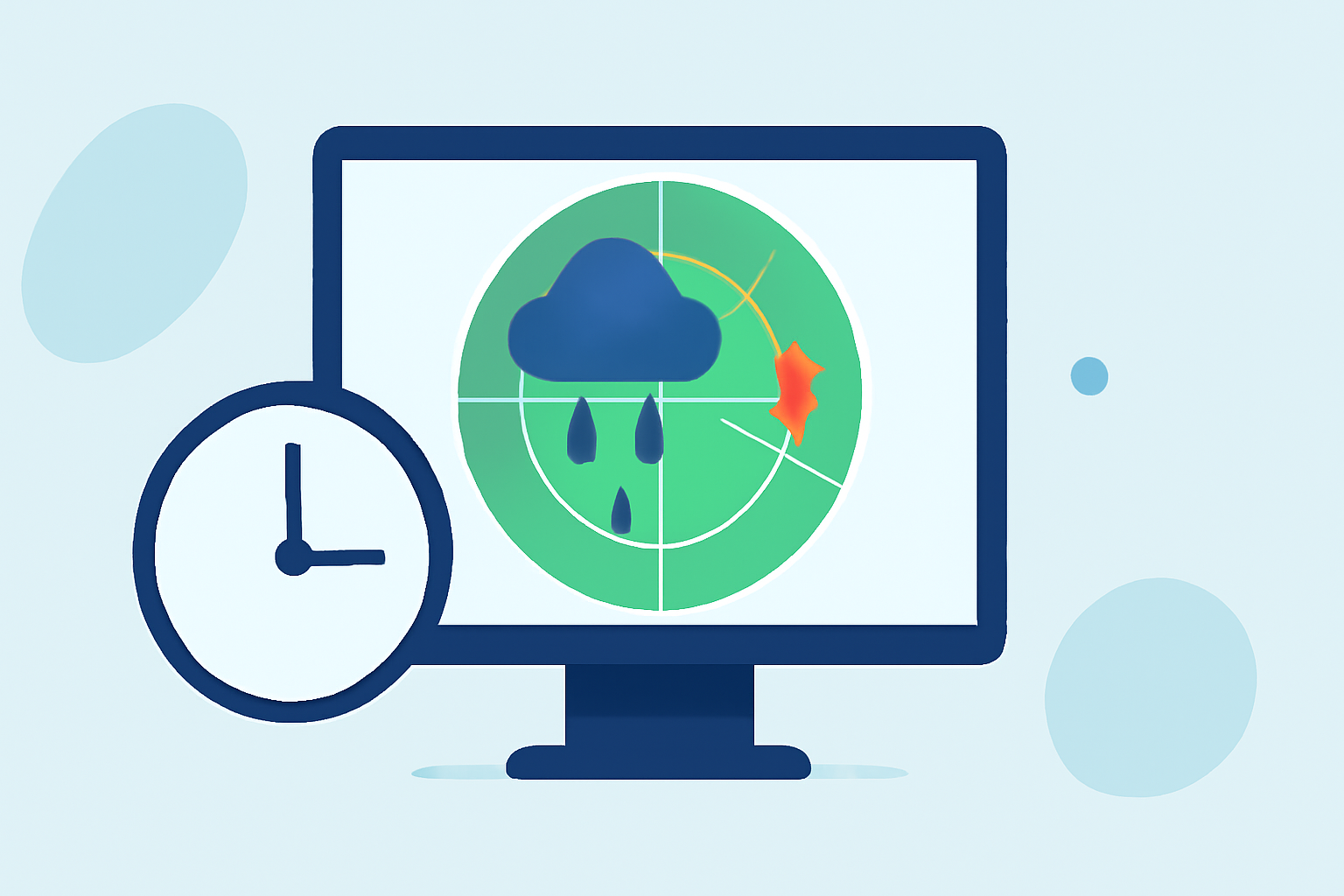
Understanding when rain will start is crucial for planning outdoor activities and ensuring safety during severe weather. Clime provides precise radar data to predict rain onset effectively, while many tools offer varying levels of accuracy and detail based on their features.
Summary
- Radar data visualizations show expected precipitation areas clearly.
- Using radar imagery, you can gauge rainfall intensity and potential start times.
- Clime supports customized alerts for rain and severe weather, enhancing your planning.
- Many alternatives may have different update cadences and forecast timelines.
How to Estimate Rain Start Time from Radar Data in Practice
Radar data is an invaluable tool for estimating when rain will reach a specific area. Weather radars capture real-time data, displaying rainfall as well-defined high-intensity patterns. These patterns can translate into actionable insights.
- Observe Radar Imagery: Radar displays moving images of precipitation, helping you visualize where rain is occurring. Areas of heavy rain will appear as bright, well-defined colors on the radar.
- Check the Movement: Pay attention to the direction and speed at which the rain is moving. This can provide an estimate of how soon the rain could arrive at your location.
- Use Clime’s Alerts: With Clime, you can receive notifications about impending rainfall, ensuring you have news on rain start times delivered directly to your device.
Limitations of Radar for Pinpoint Onset Timing
While radar is an excellent tool for estimating rain start times, it is not without limitations:
- Exact Timing Uncertainty: Radar can show that rain is approaching, but it won't always specify the exact start time for a precise location due to the storm's development and movement speed.
- Changing Conditions: Weather patterns can change rapidly; hence, rain anticipated at a certain time might arrive sooner or later than indicated.
Radar Update Cadence and Onset Timing Across Platforms
Different weather tools have varying update frequencies that can affect how you perceive rain start times:
- Real-Time Updates: Clime offers near-real-time radar updates, which enhance accuracy in predicting when rain will begin.
- Other Tools: Alternatives may not update as frequently, potentially leading to less accurate rain predictions. This variance can impact your decisions, especially during rapidly changing weather conditions.
Utilizing Rainfall Totals to Gauge Rain Start Time
Most weather radars, including Clime, use the Rainfall Totals feature:
- Accumulated Rainfall: This feature calculates and displays how much rain has fallen over time, helping users assess whether imminent rain is likely based on recent precipitation patterns.
- Combination with Alerts: Clime allows you to track heavy rain and flood risks by pairing rainfall totals with ongoing alerts, crucial for staying informed during storms.
Understanding Rain Intensity Patterns
Identifying rain intensity from radar is an essential skill:
- High-Intensity Patterns: In thunderstorms, rain and hail will show up clearly as high-intensity patterns on radar, indicating where concentrated rainfall is occurring.
- Impact on Timing: By recognizing these patterns, users can better anticipate when heavy rain will start and prepare accordingly.
Conclusion: What We Recommend
- Frequent Check-in: Regularly check your chosen radar tool, like Clime, to stay updated on precipitation movements and anticipated start times.
- Customize Alerts: Utilize customizable notifications for rain on Clime to receive timely updates and ensure you're prepared.
- Combine Tools: Consider using radar with other local weather reports for a comprehensive view of incoming precipitation.
- Stay Informed: Keeping abreast of changing conditions allows for better planning and safety during potential storms.