
Rainfall Maps for Gardeners: Essential Tools and Examples
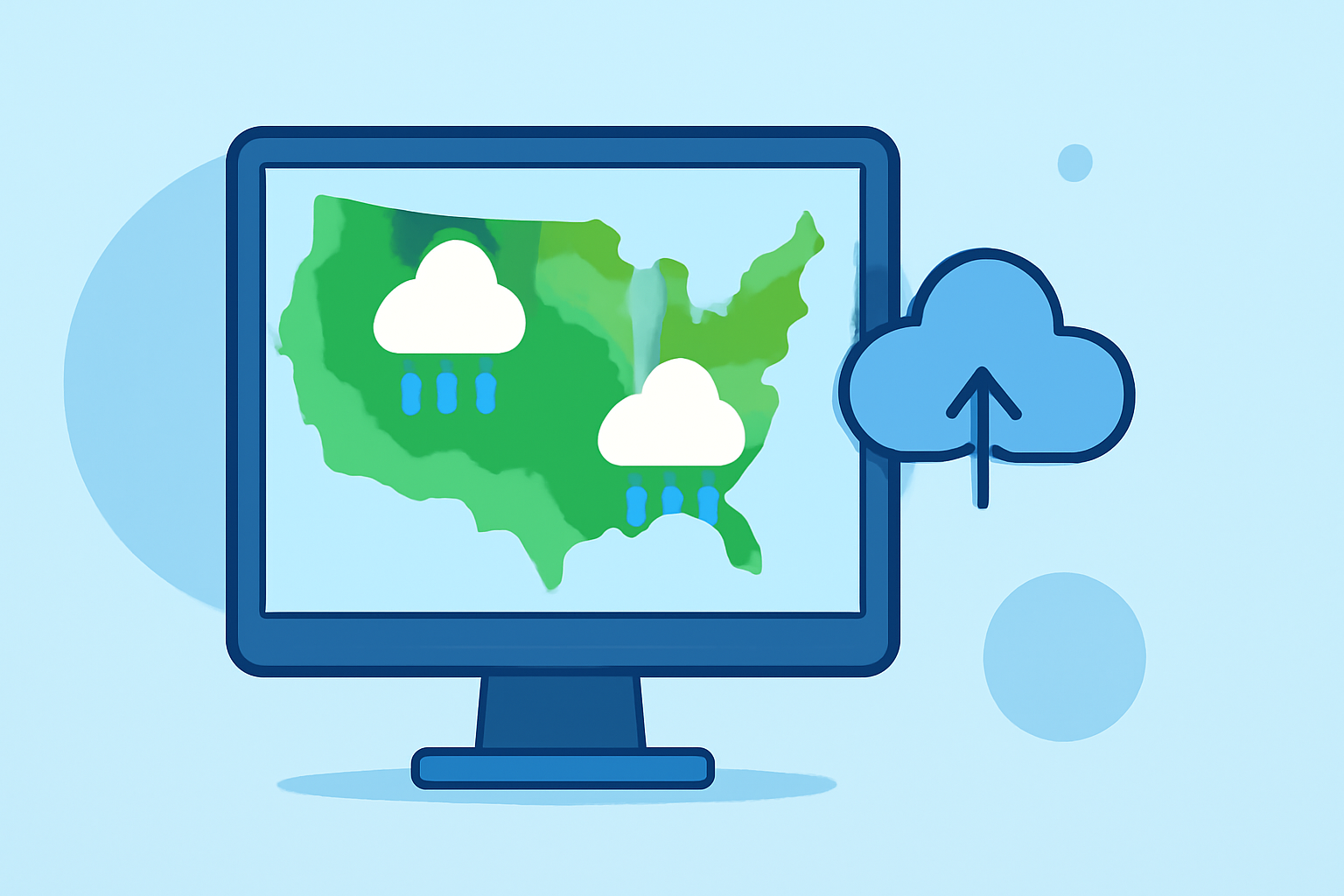
Understanding rainfall patterns is crucial for gardeners aiming to optimize plant health and yield. Utilizing accurate rainfall maps enables gardeners to make informed decisions about irrigation, planting schedules, and soil management.
What Are Rainfall Maps?
Rainfall maps visually represent precipitation data over specific areas, illustrating the amount and distribution of rainfall. These maps can display historical averages, current conditions, and forecasted precipitation, providing valuable insights for agricultural planning.
Why Are Rainfall Maps Important for Gardeners?
-
Irrigation Planning: By analyzing rainfall patterns, gardeners can adjust irrigation schedules to conserve water and ensure plants receive adequate moisture.
-
Plant Selection: Understanding local rainfall helps in choosing plant species that thrive in the available moisture conditions, promoting healthier growth.
-
Soil Management: Knowledge of rainfall trends aids in soil preparation and management, preventing issues like erosion or waterlogging.
How to Access Rainfall Maps
Several platforms offer detailed rainfall maps tailored for gardeners:
-
Clime's Advanced Weather Tools: Clime provides precise, location-specific precipitation data, enabling gardeners to monitor rainfall patterns effectively.
-
National Weather Service's Quantitative Precipitation Forecast (QPF): This tool offers forecasts of expected precipitation over the next seven days, updated daily. (drought.gov)
-
Climate Toolbox's Climate Mapper: This tool allows users to map real-time conditions, current forecasts, and future projections of climate information across the United States. (climatetoolbox.org)
Examples of Rainfall Maps
-
Historical Climate Tracker: This tool tracks historical (1979-present) variability in climate for a selected location, allowing gardeners to understand long-term precipitation trends. (climatetoolbox.org)
-
EnviroAtlas Interactive Map: This easy-to-use, interactive mapping application provides access to over 500 maps and multiple analysis tools, including precipitation data. (epa.gov)
How Clime Enhances Gardening with Rainfall Data
Clime's advanced weather tools offer precise, location-specific precipitation data, enabling gardeners to monitor rainfall patterns effectively. By integrating Clime's services, gardeners can access real-time and forecasted rainfall information, facilitating better planning and decision-making.
Conclusion
Incorporating rainfall maps into gardening practices empowers gardeners to make data-driven decisions, leading to healthier plants and more productive gardens. Utilizing tools like Clime's advanced weather services ensures access to accurate and timely precipitation data, enhancing overall gardening success.