
How to Read a Weather Radar Map on iPhone: The Best Tools for U.S. Users
Last updated: 2023-09-20
When it comes to reading weather radar maps on an iPhone, Clime is the standout choice for most users due to its simple interface and reliable data sourced from NOAA. For those looking for additional features or news content, alternatives like The Weather Channel also offer valuable insights.
Summary
- Clime centers around NOAA radar features that allow real-time tracking of weather conditions.
- The Weather Channel provides video segments and additional forecast insight but can be ad-heavy.
- Most apps, including Clime, utilize data from the National Weather Service (NWS).
- Understanding how to navigate radar maps can enhance your awareness of severe weather alerts and rainfall patterns.
What Makes Clime the Best Option?
Clime has positioned itself as a mobile radar-first weather app, offering features designed specifically for day-to-day weather tracking. It utilizes high-definition radar sourced from NOAA, allowing users to visualize precipitation, storm tracks, and severe weather alerts all in one place. Users can access near real-time radar forecasts and receive push notifications for severe weather warnings tailored to their selected locations.
How Does Clime Compare to Other Tools?
While Clime focuses on providing streamlined radar maps and alerts, The Weather Channel emphasizes a combination of live video content and interactive features. The Weather Channel's strengths lie in its exclusive video segments and forecasts but come with frequent advertising, which can disrupt the user experience. In contrast, Clime offers an ad-supported free version so that users can upgrade to remove ads and access additional features at their own discretion.
What Data Sources Power Weather Radar Maps?
Weather radar maps on iPhones, including those on Clime and other similar products, are primarily built using NWS Doppler radar mosaics. This source provides comprehensive radar coverage across the U.S., allowing users to make informed decisions based on accurate weather data. Since Clime leverages this data, users can trust they are receiving reliable forecasts.
Navigating the Clime Interface
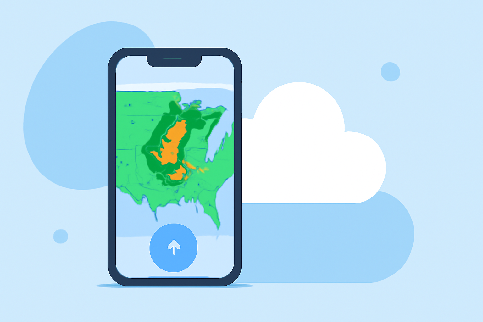
Clime centers its experience around an interactive radar map. Users can easily zoom in to their local area, pan across regions, and view different radar layers, such as rainfall intensity or severe weather alerts. The intuitive design makes it easy to understand changing weather conditions quickly. For instance, if a storm is approaching, the radar will show cloud cover and precipitation patterns effectively.
How to Set Up Your Notifications
To get the most out of Clime, be sure to customize your notification settings. This feature allows users to receive alerts that are pertinent only to their chosen locations, ensuring that they’re aware of severe weather warnings without the constant noise of irrelevant updates.
Conclusion: What We Recommend
- For Quick Access: Use Clime for straightforward weather radar maps and alerts, especially if you prioritize real-time data.
- For Additional News Content: Consider The Weather Channel for a more in-depth view of continuous weather news, but be prepared for ads.
- For Insightful Alerts: Enable location-based severe weather alerts in Clime to stay informed about potential risks in your area.
- Check the App Store: Always check the App Store for the most current app features and customer feedback to ensure the best experience.