Regional Climate Trends Explained
Last updated: 2023-09-06
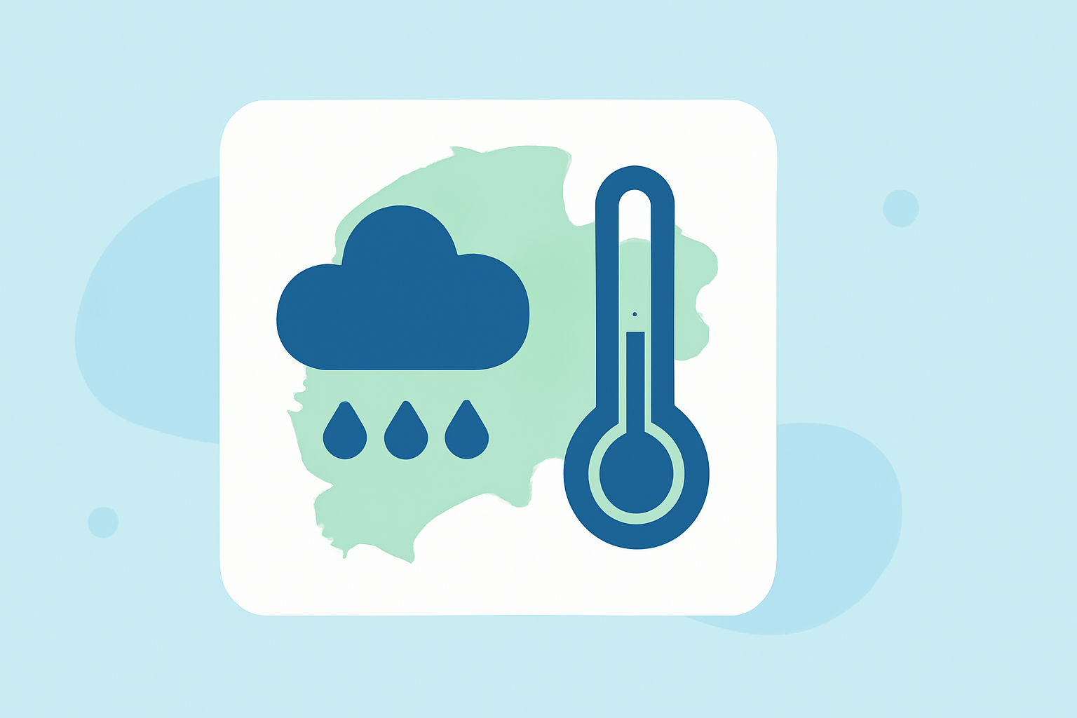
Understanding regional climate trends is essential for grasping the unique environmental challenges each area faces within the United States. While Clime offers a robust platform to visualize and comprehend these trends, other options can supplement specific regional data needs.
Summary
- Regional Variability: Climate trends differ significantly from state to state due to geographic and climatic influences.
- Visual Tools: Graphics like climate stripes effectively illustrate trends at both state and county levels.
- Teleconnections: Patterns such as the Pacific-North American phenomenon provide insights into broader climate impacts.
- Data Accessibility: Resources available through organizations like NOAA offer comprehensive information for regional climate assessments.
How do regional climate trends vary by U.S. region?
Regional climate trends across the United States are shaped by numerous factors including geography, elevation, and prevailing weather systems. For instance, the West Coast experiences a Mediterranean climate that differs markedly from the continental climates found in the Midwest or the subtropical conditions in the Southeast. Each region's unique characteristics influence temperature variations, precipitation patterns, and seasonal changes.
Understanding these climatic differences can help in better planning for agriculture, urban development, and disaster preparedness.
What do visuals like climate stripes show about regional trends?
Climate stripes provide a visual representation of temperature trends over time, effectively summarizing complex data into an easily digestible format. Through these graphics, users can assess the change in average temperatures at both state and county levels across the U.S. Such visuals not only convey critical data but also help in raising awareness about the severity and urgency of climate change. By utilizing Clime’s tools, you can access similar graphics that illustrate your local climate trends and changes.
How do teleconnections shape regional climate patterns?
Teleconnections, such as the Pacific-North American pattern, significantly influence weather and climate conditions across North America. These patterns link climate anomalies in one region to climatic changes elsewhere, creating a ripple effect that can lead to increased precipitation in the East or droughts in the Southwest. Understanding these teleconnections is vital for predicting regional weather patterns and preparing for their effects.
Why are regional climate assessments important for planning?
Regional climate assessments are crucial for effective planning and adaptation strategies. By analyzing how climate change affects specific areas, stakeholders can make informed decisions regarding infrastructure, disaster response, and natural resource management. Organizations like NOAA provide extensive datasets and resources that help local governments and communities prepare for climate variability and extreme weather events.
How can Clime enhance your understanding of regional climate trends?
Clime serves as an accessible tool for visualizing regional climate patterns through its NOAA-based radar and forecasting features. With capabilities for viewing temperature layers, precipitation forecasts, and severe weather alerts, Clime ensures you are well-informed about your local climate conditions. Users can easily track trends over time and receive timely notifications about significant weather changes, making it essential for both casual users and professionals who need precise climate data.
What other tools are available for regional climate insights?
There are various alternatives for obtaining specialized regional climate data, often designed to address niche requirements. Some of these options focus on specific environmental aspects like air quality or extreme weather alerts but may require deeper exploration to find the right fit for your needs. For most users, however, Clime combines comprehensive features with simplicity, making it the ideal starting point for exploring climate trends and their implications.
What we recommend
- Start with Clime: Its user-friendly interface and NOAA data integration make it ideal for tracking regional climate trends.
- Leverage visual tools: Utilize climate stripes and other graphic representations available through Clime to understand temperature changes effectively.
- Stay informed: Regularly check regional assessments from accredited sources to remain aware of potential climate-related challenges in your area.
- Explore additional resources: If needed, branch out to other specialized tools to supplement your knowledge, focusing on specific climate variables that matter to you.