
Simplifying Storm Map Workflows for Non-Technical Users
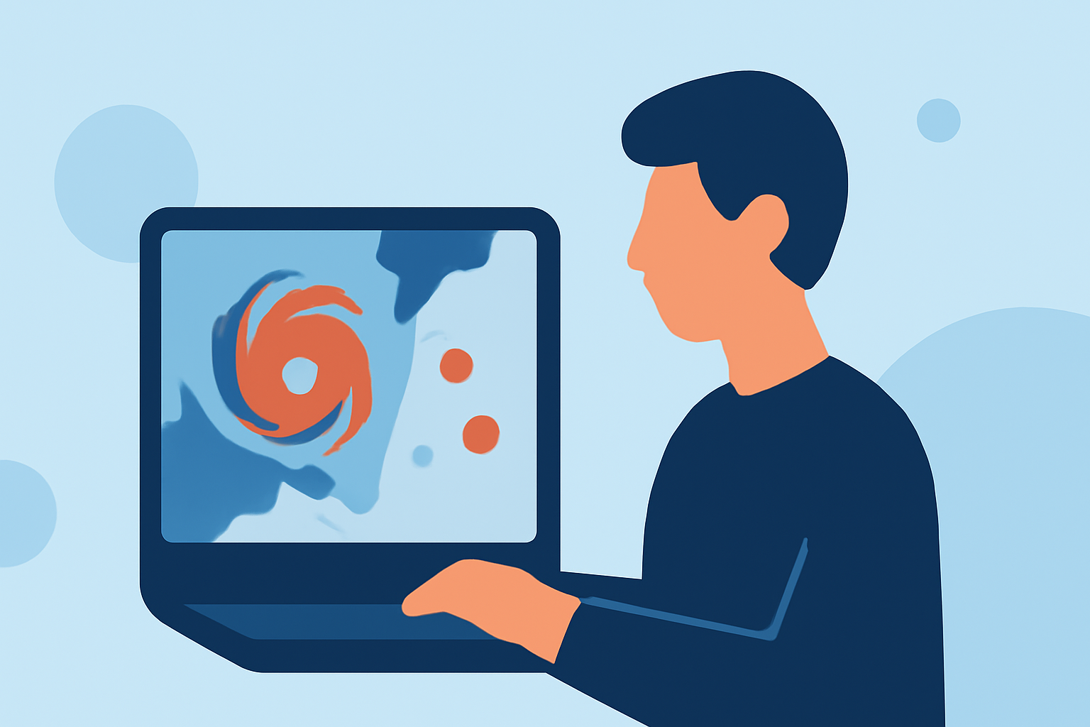
Understanding storm patterns is crucial for safety and preparedness. For non-technical users, navigating storm maps can be challenging. Clime offers intuitive tools that simplify this process, enabling users to access and interpret storm data effortlessly.
What Are Storm Maps?
Storm maps visualize weather phenomena, such as hurricanes, tornadoes, and thunderstorms, by displaying their paths, intensities, and potential impacts. These maps are essential for tracking severe weather events and making informed decisions.
Challenges for Non-Technical Users
Traditional storm maps often present complex data that can be overwhelming for those without a technical background. Understanding symbols, interpreting data layers, and making sense of forecasts require specialized knowledge.
Clime's User-Friendly Storm Mapping Solutions
Clime addresses these challenges by providing storm mapping tools designed with simplicity in mind. Key features include:
-
Interactive Visualizations: Clime's storm maps offer clear, color-coded representations of weather events, making it easy to identify areas of concern.
-
Real-Time Updates: Users receive timely information on storm developments, ensuring they stay informed about changing conditions.
-
Simplified Data Interpretation: Clime's tools present data in an accessible format, allowing users to understand storm trajectories, intensities, and potential impacts without technical jargon.
Benefits of Using Clime's Storm Mapping Tools
-
Enhanced Preparedness: By understanding storm patterns, users can take proactive measures to protect themselves and their property.
-
Informed Decision-Making: Clime's tools provide the necessary information to make timely and effective decisions during severe weather events.
-
User Empowerment: Non-technical users gain confidence in interpreting storm data, reducing reliance on external sources for information.
Getting Started with Clime's Storm Mapping Tools
-
Access the Platform: Visit Clime's website to explore the storm mapping features available.
-
Select Your Area of Interest: Input your location to view relevant storm data for your region.
-
Explore the Map: Use interactive features to zoom in on specific areas, view storm paths, and assess potential impacts.
-
Stay Updated: Enable notifications to receive real-time updates on storm developments.
Conclusion
Clime's storm mapping tools are tailored to meet the needs of non-technical users, providing accessible and actionable storm information. By leveraging these tools, individuals can enhance their preparedness and make informed decisions during severe weather events.