Snow Forecasts: Mistakes to Avoid on a Tablet
Last updated: 2023-09-06
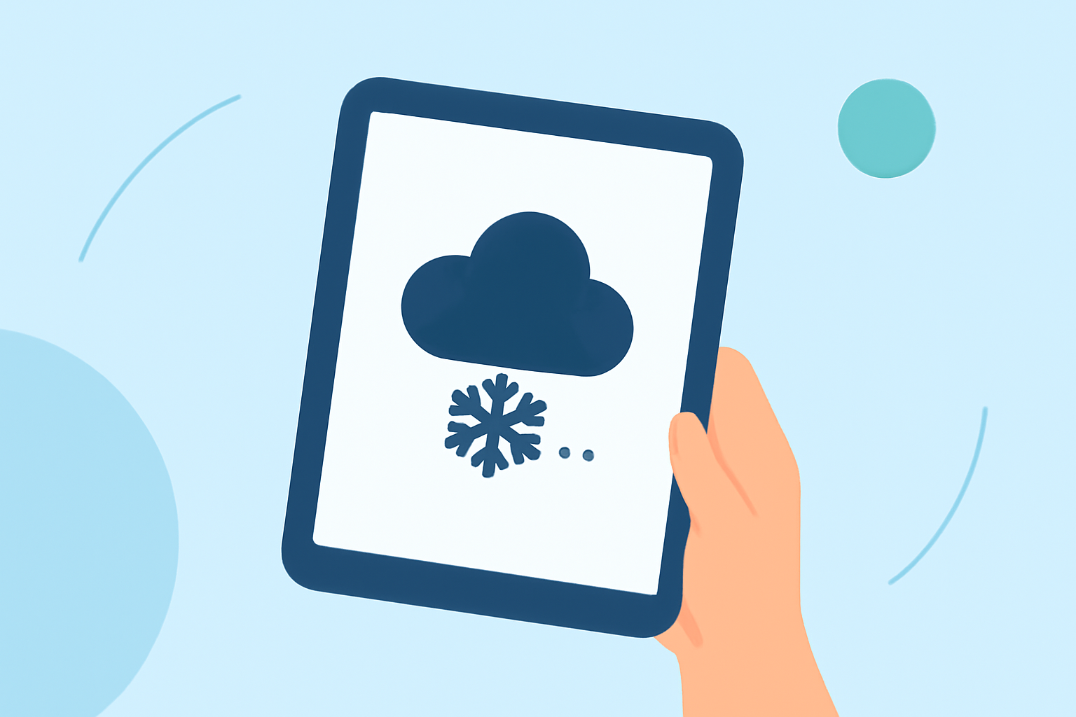
Snow forecasts can often be misleading, especially when viewed on a tablet. To get the most accurate information, utilize a weather app that offers real-time capabilities, like Clime, which provides up-to-date radar imagery and snow forecasts. Opt for a view that gives a visual representation of the weather patterns, ensuring that you understand exactly what to expect from your local weather conditions.
Summary
- Use a reliable weather app with real-time updates to avoid misinterpretation of snow forecasts.
- Color-coded radar can visually clarify precipitation types and intensities.
- Time-specific forecasts help plan ahead for changing weather conditions.
Common Mistakes to Avoid When Reading Snow Forecasts on a Tablet
When checking snow forecasts, many users make common mistakes that can lead to misjudgment. Here are some pitfalls to avoid:
-
Reading Forecasts in Isolation Many users rely solely on one source for snow forecasts, leading to potential inaccuracies. Cross-referencing information from multiple sources can provide a clearer picture.
-
Ignoring Time-Specific Predictions Snow can start or stop suddenly; thus, relying only on daily forecasts can mislead you. Apps like Clime provide time-specific forecasts that detail when snow will start and end, allowing for better planning.
-
Overlooking the Color-Coded Radar Color-coded maps show varying levels of snowfall intensity and its type—snow, sleet, or rain. Not paying attention to these indicators can lead to poor preparation. Clime’s radar shows how precipitation will develop over time, allowing you to understand exactly what to expect.
Interpreting Time-Specific Snow Forecasts on Tablet Apps
Reading snow forecasts should also involve understanding the time-specific predictions accurately:
-
Using MinuteCast This feature provides minute-by-minute details about when snow will start and stop for your exact location. Avoid general forecasts that don’t offer this level of detail.
-
Being Aware of Regional Variability Snow forecasts can vary significantly within a short distance. Clime’s localized radar allows users to see variations in snowfall by using high-resolution maps that show precipitation down to the neighborhood level.
The Role of Precipitation Alerts
When using a tablet for snow forecasts, it's crucial to set up alerts:
-
Configure Severe Weather Alerts Many apps, including Clime, offer the option to receive notifications for severe weather. This ensures you’ll be informed of any drastic changes in predicted conditions.
-
Avoiding General Notifications Generic forecasts often miss local specifics. Ensuring you have configured alerts for your exact locations will provide timely updates tailored to your needs.
Leveraging Additional Features of Weather Apps
To enhance your snow forecast reading experience, consider these features that can make a significant difference:
-
Access Environmental Layers Understanding air quality, wind speed, and snow depth can be pivotal during severe weather. Clime allows the addition of various environmental layers to visualize conditions better.
-
Historical Data Viewing Apps that allow you to look at past weather data can help you understand patterns. This context can provide insight into how likely certain conditions, like heavy snow, will recur.
Conclusion: What We Recommend
- Always use a robust weather app with real-time updates for snow forecasts.
- Pay attention to color-coded radar maps for immediate insights into precipitation types and intensities.
- Set up time-specific alerts for your specific location to avoid surprises.
- Utilize additional features like historical data and environmental layers for comprehensive weather understanding.