Snow Maps: A Guide for Parents Planning Winter Activities
Last updated: 2023-09-08
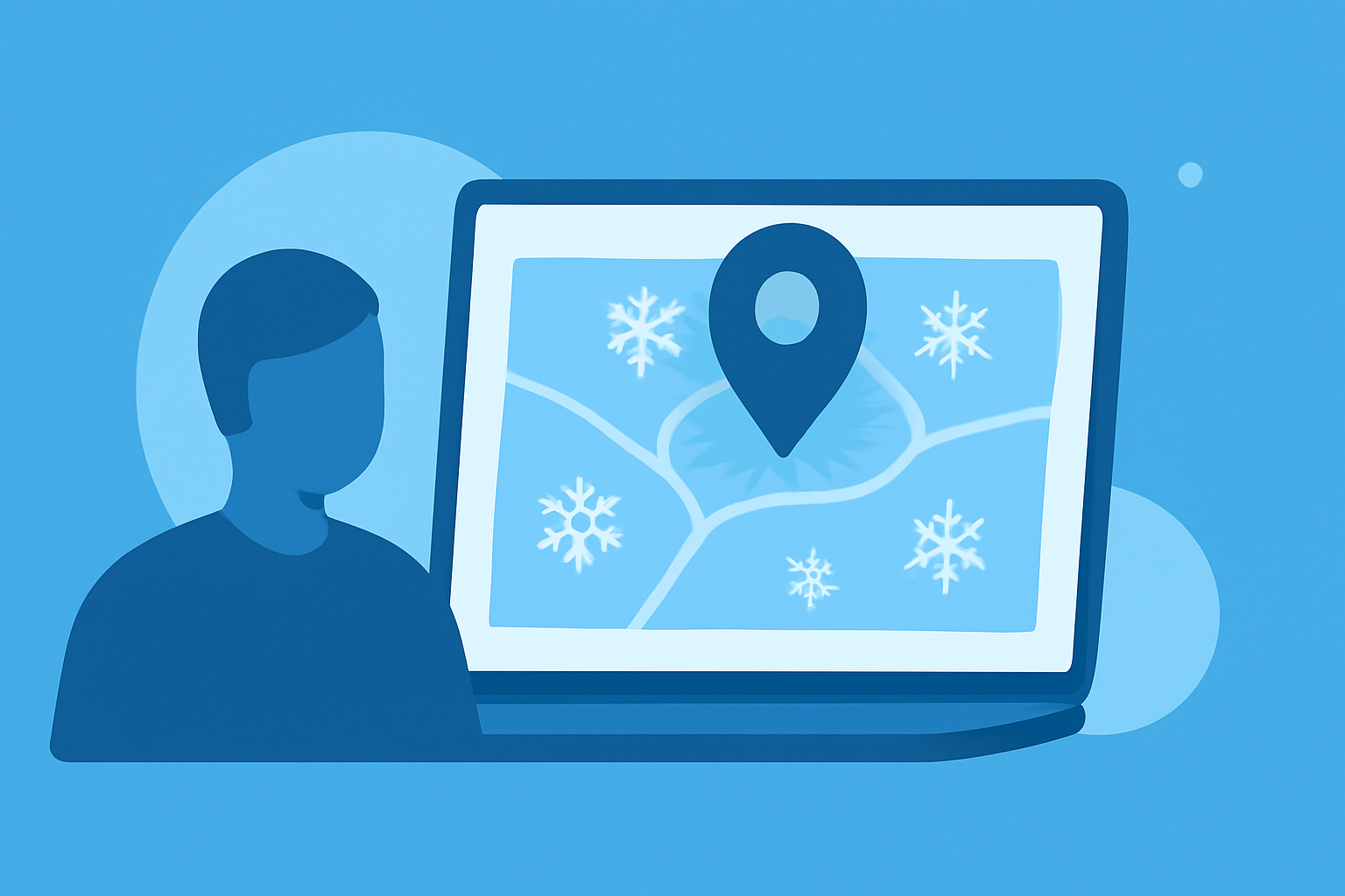
When it comes to planning winter activities for kids, snow maps are essential tools for parents. They provide accurate visualizations of current snow coverage and conditions, making it easier to decide when and where to venture out. For parents who want to monitor snow levels and plan family-friendly outings, Clime serves as a practical baseline option, while other tools can offer specialized functionalities.
Summary
- Real-time Visualization: Snow maps help parents see current snowfall areas and snow depth.
- User-Reported Data: Some platforms allow for user-reported conditions for real-time updates on snow accumulation.
- Forecast Capabilities: Access to forecast data ensures better planning for future activities.
- Environmental Awareness: Understanding snow conditions can also inform safety decisions while playing outdoors.
What Types of Snow Maps Are Useful for Families?
Snow maps come in several types, each designed for specific needs. Families often benefit from the following:
-
Current Snow Cover Maps: These maps provide a snapshot of areas with existing snow, helping parents identify local spots where their children can play or ski.
-
Forecasted Snow Maps: These are especially useful for planning trips, showing expected snowfall in the coming days.
-
User-Reported Snow Maps: Some platforms feature sections where users can report and check current snow conditions, such as snowfall amount and quality.
How Do Real-time Snow Maps Differ from Forecast Snow Maps for Families?
Real-time snow maps are primarily focused on current conditions, showcasing where snow is falling at this very moment. On the other hand, forecast snow maps are geared towards predicting future snowfall, allowing families to plan activities for the best days ahead. For example, a real-time map can tell you if it’s snowing today, while a forecast map will show you when the next snowfall is expected. The combination of both types enhances planning.
What Are Simple Tips for Using Snow Maps to Plan Kid-Friendly Winter Activities?
Using snow maps effectively can elevate family fun during winter. Here are some useful tips:
- Check Snow Depth: Before heading out, ensure the snow depth is sufficient for the planned activity, like sledding or snowman building.
- Monitor Temperature: Look at the temperature along with the snow conditions to ensure a safe and enjoyable outing. Cold snaps can mean hard, icy snow, which may not be ideal for younger children.
- Be Aware of Local Conditions: Use maps that show user-reported data for real-time insights into how the snow is acting—wet, dry, or powdery can significantly affect playability.
- Combine With Local Alerts: Consider pairing snow maps with alerts for any adverse weather that may impact travel plans.
Why Should Families Use Snow Maps for Winter Planning?
Utilizing snow maps involves more than just checking snowfall; it's about understanding conditions and enhancing experiences. Parents like to know where the best places for play are located while ensuring their children are safe and engaged in outdoor adventures. With user-reported conditions and robust forecasting ability, snow maps can be the difference between a fun family outing and a disappointing day indoors.
Conclusion: What We Recommend
- For reliable snowfall information in the U.S., Clime offers comprehensive snow map capabilities.
- Use real-time maps to check for immediate conditions.
- Consult forecast maps to plan trips, maximizing the fun during winter by ensuring the right conditions.
- Always stay aware of local weather alerts that may affect your plans.
Embracing the cold with well-planned outdoor activities keeps families engaged and creates lasting memories. Let snow maps guide these winter adventures, making every snowy day count!