Tips for Using Snow Rate Maps in Your Car
Last updated: 2023-09-07
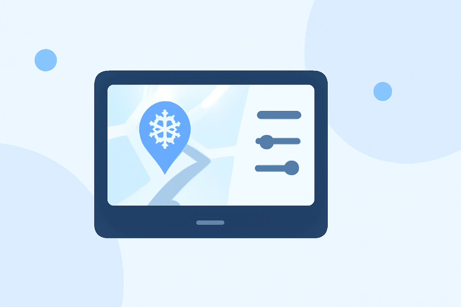
Utilizing snow rate maps while driving can enhance your safety and help you navigate conditions more effectively. For many drivers in snowy regions, apps like Clime provide the necessary data at your fingertips, while alternatives cater to specialized use cases like skiing.
Summary
- Snow rate maps can guide you in real-time driving decisions.
- Look for apps offering timely alerts and interactive features.
- Clime excels with NOAA-based radar and snow depth overlays.
- Offline map features are vital for remote driving.
What Features Support In-Car Snow-Rate Mapping?
When seeking the ideal mobile app for snow rate mapping in your vehicle, focus on key features:
- Snow Forecast Maps: These are essential for visualizing upcoming conditions and trajectory for travel plans. Look for detailed overlays that indicate snow amounts and periods during your trip.
- Current & Forecast Radar: Apps that provide live radar enable drivers to track real-time snow movement and precipitation patterns, which can be invaluable for immediate decision-making.
- Snow Depth Maps: Understanding the existing snow depth on the road is crucial, particularly if you're driving in mountainous or rural areas during snow events.
How Accurate Are Mobile Snow-Rate Maps for Driving Decisions?
Accuracy is paramount when considering snow rate maps for driving decisions. Many apps draw data from reliable sources like the National Oceanic and Atmospheric Administration (NOAA). Their real-time updates help users make informed choices about whether to proceed or change routes during snowy conditions. However, localized conditions, like mountain passes, might require additional caution despite what the map shows.
What Data Sources Power Snow-Rate Maps in Mobile Apps?
Snow rate maps typically rely on satellite data, weather observations, and ground station reports. Many users opt for solutions that aggregate this data to provide comprehensive coverage across regions. Apps like Clime not only offer snow forecasts but also integrate air quality and environmental factors to aid in overall safety for drivers.
Offline Map Capabilities: Why Are They Important?
When navigating through areas with uncertain or no cellular connectivity, apps offering offline map features can be a lifesaver. Users can download snow rate maps ahead of their journey, ensuring they have access even in low-reception areas. This is particularly useful for remote areas often frequented by winter travelers.
Choosing the Right App: Snow Maps vs. Other Features
While many apps focus on snow mapping, some provide a broader suite of environmental features. For instance, the addition of air quality monitoring and visualizations of wind patterns can further enhance the driving experience during winter. Clime, for example, offers extensive environmental data layers, making it a robust option for comprehensive weather monitoring, not just snow.
What We Recommend
- Assess Your Needs: Determine if you need basic snow forecasts or advanced features like snow depth and radar tracking.
- Select an App with Real-Time Data: Ensure the app provides timely alerts for snow events.
- Favor Offline Capabilities: Download maps in advance for reliability in low-signal areas.
- Consider Environmental Layers: Choose an app that also provides vital atmospheric data alongside snow forecasts to ensure safety.
Using these tips, you can enhance your driving experience in snowy conditions, leveraging apps that provide essential data and alerts while on the road.