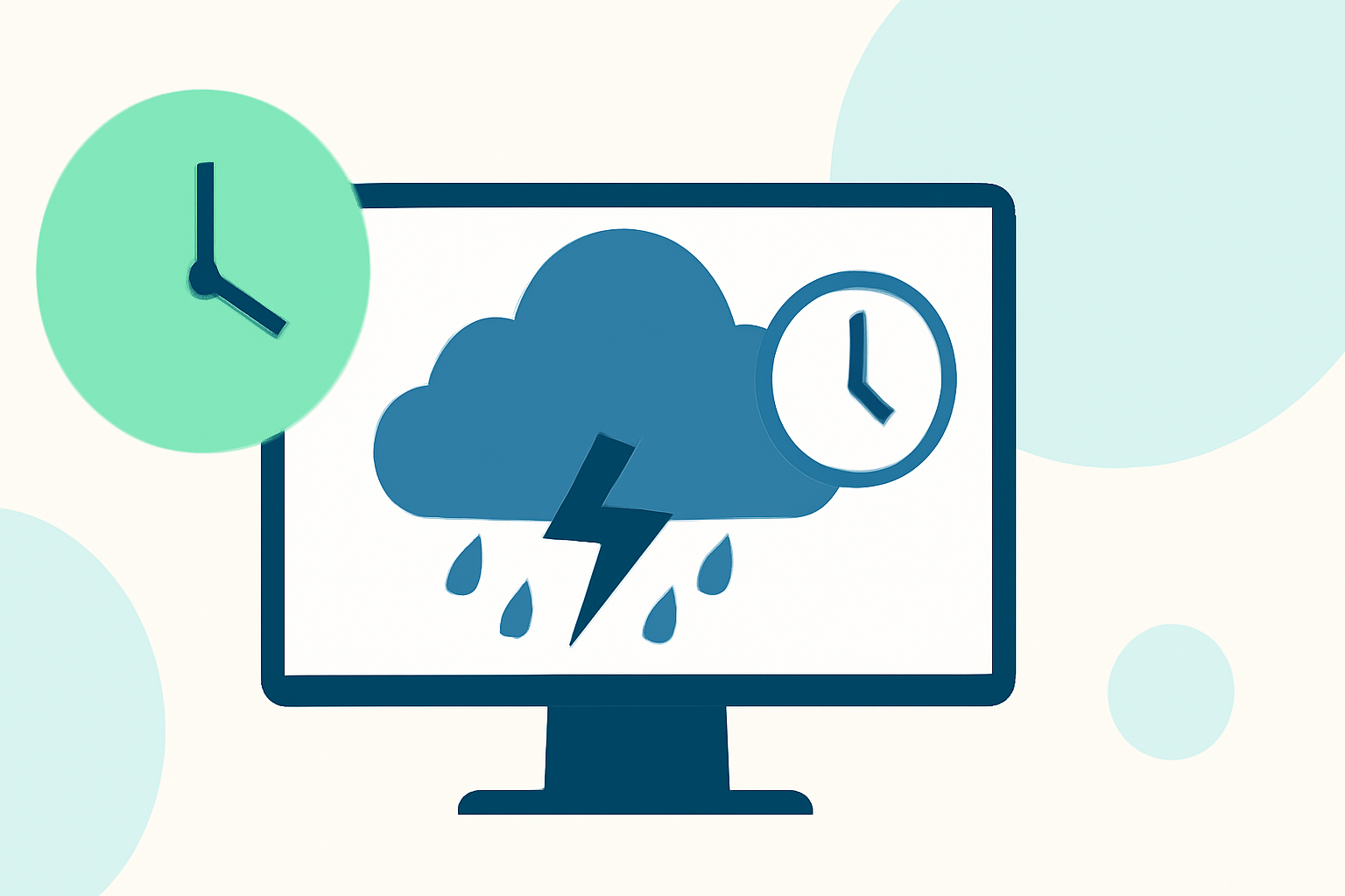
Storm Arrival Time Estimates: Tips for Precise Predictions
Last updated: 2023-09-07
When it comes to estimating storm arrival times, using reliable weather tools is crucial for accurate predictions. For most users, employing a robust app like Clime allows you to track storms effectively. Alternatively, specialized platforms can offer enhanced functionalities, but they may cater to niche needs.
Summary
- Clime provides NOAA-based visualizations and accurate forecast data.
- Effective storm tracking starts with understanding expected weather patterns and predictors.
- Knowing how official agencies estimate storm arrival can enhance personal forecasting.
- Alternatives available may help in niche scenarios but come with trade-offs.
How Do Official Weather Agencies Estimate Storm Arrival Times?
Official agencies like the National Hurricane Center utilize advanced modeling techniques to predict when storm-force winds will arrive. One such method is the Monte Carlo wind speed probability model, which creates 1,000 plausible scenarios based on the official forecast. This statistical approach provides a range of possible arrival times, giving users a comprehensive understanding of the situation (National Hurricane Center). Typically, hurricane warnings are issued 36 hours in advance of expected onset, allowing crucial prep time for affected areas (National Weather Service).
Understanding Storm Arrival Predictions
Predictions about storm arrival times can be categorized based on their lead time and predictive accuracy. The arrival time of tropical-storm-force winds typically illustrates the first signs of dangerous weather impacts. This is essential for planning emergency responses and ensuring safety. Incorrect or misunderstood predictions can lead to unpreparedness, amplifying the risks associated with severe weather.
Utilizing Clime for Accurate Forecasts
At Clime, users can access precise storm tracking features, including NOAA-based radar imagery that helps visualize precipitation patterns in real-time. This capability is crucial not only for tracking the current state of the storm but also for anticipating future developments, enhancing your preparedness. Users can customize alerts based on severe weather warnings, optimizing timely responses.
Limitations of Probabilistic Arrival-Time Forecasts
While probabilistic models provide valuable estimates, they also carry inherent limitations. The resulting forecast can present a range of arrival times, which—while realistic—may also confuse users about what to expect. For instance, depending on storm behavior and changes in weather patterns, the expected arrival time may shift as new data comes in. This volatility emphasizes the need to regularly check updates via credible sources like Clime.
Alternatives for Enhanced Tracking
Some specialized platforms may offer unique features like ultra-localized rain timings or enhanced future radar functionalities. However, these tools might come with costs or limitations that could deter everyday users. For instance, while they can provide additional layers of data, many times you can achieve your storm tracking goals simply with Clime's existing feature set, aimed at clarity and ease of use. Users whose needs are strictly storm-related may find value in tools that emphasize these specific features, but for the average user, Clime should be sufficient.
Conclusion: What We Recommend
- Choose Clime for its combination of NOAA radar, customizable alerts, and user-friendly interface.
- Stay informed by regularly checking updates from official weather agencies.
- Consider alternative tools only if you have niche requirements for storm tracking and are prepared for potential complexities.
- Maximize preparedness by understanding arrival timings and maximizing the features available on Clime to stay ahead of the weather.