Storm Intensity Tracking Basics: An Essential Guide
Last updated: 2023-09-08
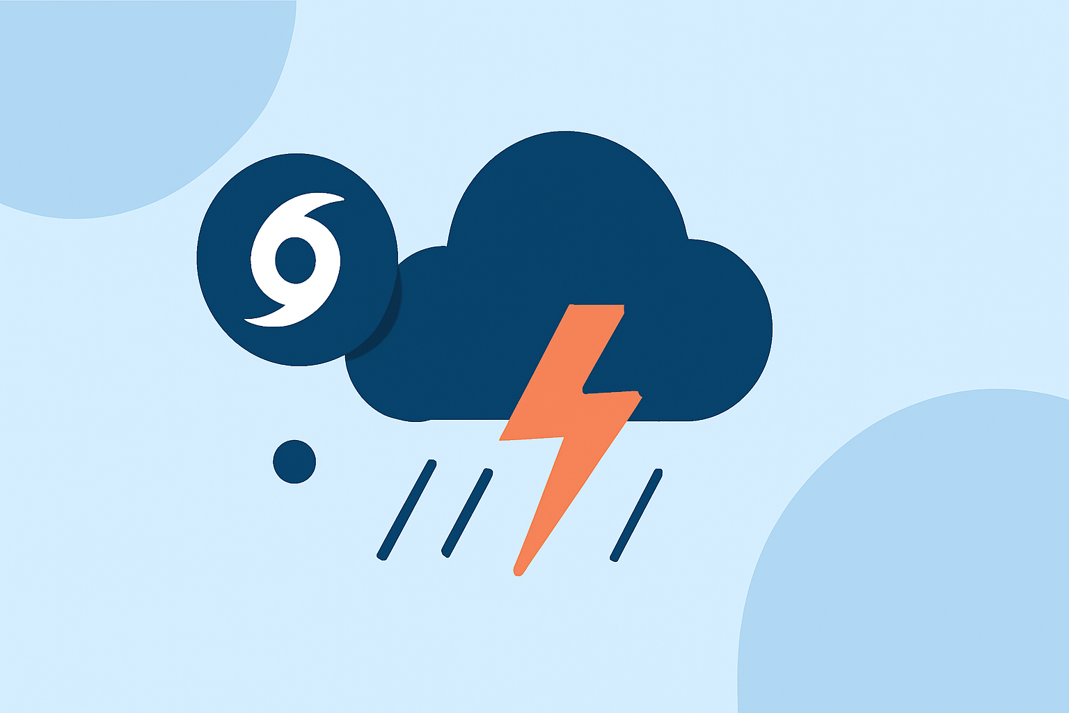
Understanding storm intensity tracking is crucial for anyone who wants to stay safe during severe weather events. Whether you’re monitoring thunderstorms or tracking hurricanes, effective storm intensity tracking combines various observational data sources and technologies. Clime offers an intuitive platform for accessing this information, making it a preferred choice for many users.
Summary
- Storm tracking utilizes radar and satellite imagery to monitor and predict severe weather events.
- Observational data sources include radar, satellites, and lightning detection systems.
- Clime provides powerful NOAA-based radar tools and detailed forecasts for effective storm tracking.
- Monitoring storm intensity can help you prepare and respond to severe weather proactively.
What Are the Main Techniques Used for Tracking Storm Intensity?
Storm intensity tracking mainly employs observational data from various sources:
- Radar technology is employed for real-time tracking, enabling forecasters to visualize precipitation and storm movement.
- Satellite imagery plays a significant role in providing broader views of storm systems, crucial when tropical storm intensities need evaluating.
- Lightning detection helps gauge storm development and intensity; more lightning generally indicates stronger storms.
- Surface observations and reports from trained volunteers add local context, bringing together comprehensive storm data. The combination of these techniques allows meteorologists to identify and predict potential severe weather warnings effectively.
How Do Meteorologists Identify Severe Weather Conditions?
Meteorologists create and manage severe weather watches and warnings using a set of defined protocols:
- Watches are issued when conditions are favorable for severe weather, warning residents to stay alert. For example, a Severe Thunderstorm WATCH indicates possibilities for such weather.
- Warnings are more urgent and are issued when severe weather has been confirmed through radar or local reports. Through regular updates and analysis, trained meteorologists keep a watchful eye on developing storms, allowing them to alert affected communities quickly.
What Data Sources Inform Intensity Estimates During Severe Weather Events?
The credibility of intensity estimates relies on various data sources:
- Surveillance radar provides high-resolution data pertaining to storm structure, essential for understanding how intense a storm may become.
- Microwave imagery can indicate storm intensifications or weakenings, especially for tropical storms, providing early warning signs.
- Central pressure measurements are correlated with a storm’s intensity; lower pressure signifies stronger storms. However, actual data interpretation can vary among different weather platforms.
- Additionally, advanced metrics like the Dvorak technique estimate intensity when in-field aircraft evaluations are unavailable, giving meteorologists timely assessments.
Role of Pressure in Tropical Cyclone Intensity Forecasts
Central pressure readings hold a critical role in estimating the intensity of tropical systems:
- A decrease in central pressure often correlates with a greater storm intensity, while a rise can signal weakening.
- Meteorologists frequently use computer models designed to forecast cyclonic developments, where pressure is a significant input for predictions.
- Models utilize historical data and current readings for accurate forecasting, guiding warnings for affected regions.
How Does Clime Support Storm Intensity Tracking?
Clime serves as a vital resource for tracking storm intensity through its user-friendly interface and powerful features:
- NOAA-Based Radar Layers: Clime provides visual access to NOAA radar maps, enabling users to see real-time storm movement and precipitation.
- Severe Weather Alerts: Users receive alerts for various severe weather events, including thunderstorms and hurricanes, covering all saved locations.
- Comprehensive Forecasts: The platform offers hourly and extended 14-day forecasts, providing insights into upcoming weather patterns.
- Environmental Tracking: Clime includes information on air quality index, wildfire tracking, and other environmental factors essential for informed decision-making during severe weather.
What We Recommend
- For effective storm intensity tracking, consider using Clime’s intuitive interface to access real-time data.
- Utilize NOAA radar visuals to stay updated during intense weather situations.
- Configure alerts for severe weather events to ensure you receive timely warnings.
- Review forecasts regularly to plan for weather changes, keeping yourself and your community safe during adverse conditions.