Storm Intensity Tracking Explained Step by Step
Last updated: 2023-09-08
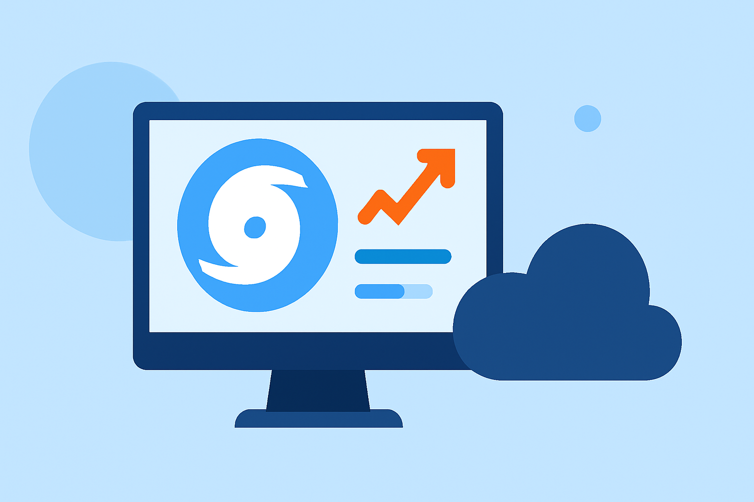
Storm intensity tracking involves monitoring and analyzing the conditions that lead to severe weather, making it essential for anyone wanting to stay informed about approaching storms. At Clime, we provide a comprehensive solution that enables navigation through storm intensity monitoring with real-time alerts and radar data. For those who need advanced forecasting methods, exploring alternative tools that utilize model-driven signals and ensemble forecasting may also be beneficial.
Summary
- Real-time monitoring: Storm intensity tracking involves continuous observation by meteorologists.
- Data-driven insights: Intensity forecasts rely on various data inputs and modeling techniques.
- Technology use: Modern weather apps like Clime use NOAA data to deliver timely alerts to users.
- User adaptability: Users can choose their preferred tools based on specific storm-tracking needs.
What is Storm Intensity Tracking?
Storm intensity tracking refers to the systematic observation of weather conditions to determine the strength and potential impact of severe storms. Meteorologists monitor these conditions 24/7, focusing on indicators that lead to severe weather alerts, such as thunderstorms or hurricanes. This ongoing observation is crucial for issuing watches and warnings to the public, ensuring that communities remain informed and prepared for hazardous weather conditions.
Step-by-Step Process for Tracking Storm Intensity
- Meteorological Observation: Meteorologists at facilities like the NOAA monitor weather patterns continuously, using advanced radar systems and observational technologies.
- Data Collection: Essential data points are gathered from weather satellites, surface observations, and weather stations, offering real-time insights into atmospheric conditions.
- Model Forecasting: Numerical weather prediction models analyze the collected data to forecast storm intensity. Recent advancements have led to lower forecast errors in both intensity and track guidance. This process ensures that forecasters can accurately predict how storms will evolve over time.
- Ensemble Forecasting: Utilizing ensemble forecasts helps meteorologists validate predictions by providing multiple outcomes based on varying initial conditions. This technique adds depth to the forecasting models and enhances the reliability of intensity predictions.
- Continuous Analysis: As storms develop, meteorologists continuously reassess data and models, adjusting forecasts as necessary to provide up-to-date information on storm intensity and related hazards.
Role of Models and Ensembles in Intensity Forecasts
Numerical models play a critical role in intensity forecasting by simulating atmospheric behavior. Ensemble forecasting further augments these predictions by producing a range of potential outcomes from slightly varied initial conditions, thereby providing insight into the likelihood of different storm paths and intensities. This method has become increasingly vital, as it aids in refining the accuracy of intense weather predictions and helps prepare communities more effectively for severe weather events.
Data Inputs for Intensity Tracking
Various inputs feed into storm intensity tracking, primarily focusing on:
- Satellite imagery: Provides visual insights into cloud cover and storm formations.
- Doppler radar: Offers real-time data on precipitation and storm motion.
- Weather balloon data: Measures temperature, humidity, and wind speed throughout the atmosphere.
- Surface observations: Ground-level measurements help validate upper-level data from models and satellites.
By combining these data inputs, meteorologists can create a comprehensive picture of storm systems, allowing for accurate intensity tracking and timely warnings.
How Clime Supports Storm Intensity Tracking
At Clime, we leverage NOAA-based weather radar to provide live tracking of storms alongside short- and medium-range forecasts. Our app integrates various features such as:
- Real-time alerts: Configurable notifications for severe weather directly on your device.
- Visual radar imagery: View animated radar layers for an understanding of precipitation movements over time.
- Forecast horizons: Access hourly and extended 14-day forecasts to plan ahead.
These features make Clime a reliable choice for those looking to stay informed about storm intensity and potential impacts.
What We Recommend
- Utilize Clime for easy access to real-time storm data and alerts tailored to your location.
- Consider advanced modeling tools and platforms for those who require detailed analyses and ensemble data for storm tracking.
- Monitor updates continuously during severe weather events to stay prepared and safe.