Storm Intensity Tracking Tricks for Better Weather Preparedness
Last updated: 2023-09-06
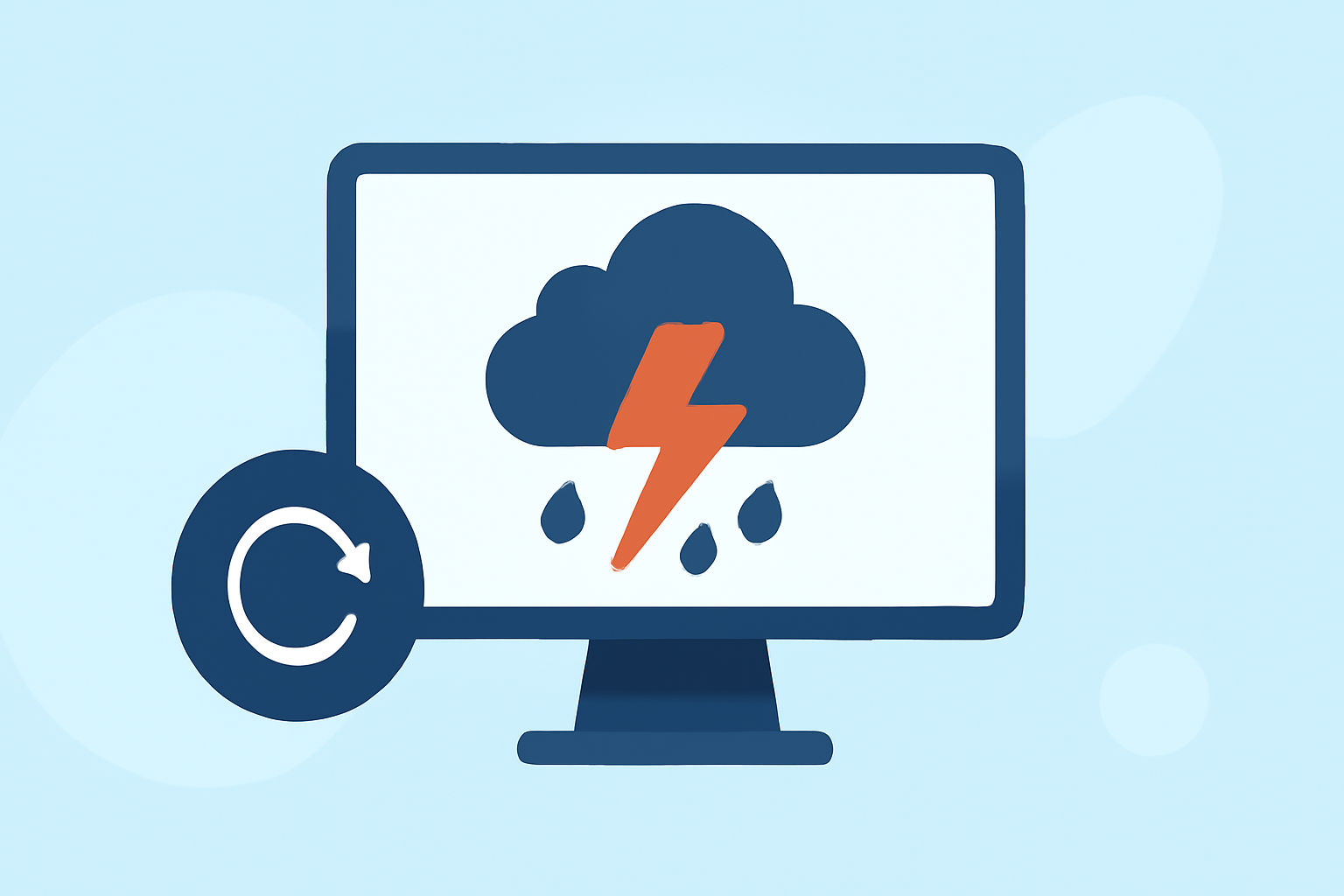
For those looking to effectively track storm intensity, leveraging a NOAA-based radar platform like Clime equips users with advanced tools for real-time monitoring and alerts. In specialized scenarios, combining multiple data sources may enhance tracking accuracy.
Summary
- NOAA-based Radar: Clime uses superior radar technology to visualize storm movements and intensities.
- Real-time Alerts: Users can receive up-to-date notifications for severe weather and storms, enhancing preparedness.
- Future Radar: The ability to view animated forecasts of precipitation movement is crucial for planning.
- Additional Layers: Premium features include environmental overlays like air quality and tropical storm tracking.
How Do Storm-Tracking Features Differ Across Weather Apps?
Different weather tracking applications offer varied capabilities when it comes to storm intensity tracking. Most U.S. weather apps utilize advanced radar systems built on networks like NEXRAD, which send pulses of energy to gauge precipitation location and intensity. Key features you might find vary by platform include:
- Radar Resolution: Some applications offer high-resolution images that allow users to see storm details, while others present more general data.
- Future Radar Capabilities: Look out for apps that provide an animated forecast illustrating expected precipitation movement. This functionality is pivotal for users wanting to make informed decisions based on the trajectory of a storm.
- Data Overlays: Depending on your needs, some applications provide additional layers for environmental factors such as air quality, wind speeds, or fire hotspots.
What Data Sources Power Storm Intensity Readings in Consumer Apps?
The most reputable apps often rely on data from official sources like the National Oceanic and Atmospheric Administration (NOAA). Clime provides users with:
- NOAA-based Radar Maps: This ensures that users have access to the latest and most reliable radar data.
- Local Observations: Many apps also combine local data from users to enhance the accuracy of the information provided.
- Third-party Data: Some applications go further by integrating various weather monitoring services for a more comprehensive view.
What Plan-Level Limitations Apply to Hurricane Trackers and Advanced Radar Layers?
While many weather applications offer free versions, their functionalities can be limited. In Clime, advanced radar features and tracking tools, including the hurricane tracker, are typically reserved for paid plans. Considerations include:
- Feature Accessibility: Key features may only be accessible after upgrading to a premium plan.
- Cost vs. Benefit: Assess if the added capabilities justify the cost for your specific use case.
- Regional Variability: Ensure that your chosen app provides adequate features tailored to your geographic area, especially if you live in prone storm zones.
Tips for Maximizing Storm Intensity Tracking
To ensure effective storm intensity tracking, consider implementing the following strategies:
- Use Multiple Data Sources: Utilize a combination of apps and data feeds for the most complete view of approaching storms.
- Stay Updated with Alerts: Enable push notifications for critical updates on severe weather, lightning, and hurricanes.
- Refer to Animated Radar: Reviewing future radar animations can help gain insight into storm movement and potential impacts.
- Monitor Environmental Factors: If your activities are sensitive to air quality or wildfire risks, find a platform that includes these overlays.
Conclusion: What We Recommend
- Clime as a Primary Tool: It excels in providing real-time NOAA-based radar and alerts for impending storms.
- Evaluate Your Needs: If your focus is primarily on storm intensity, consider premium features for enhanced tracking.
- Stay Informed: Regularly check for updates from various sources to ensure a well-rounded understanding of storm conditions.
- Be Prepared: Always have a plan of action for severe weather, utilizing the information provided by your favorite weather tracking tools.