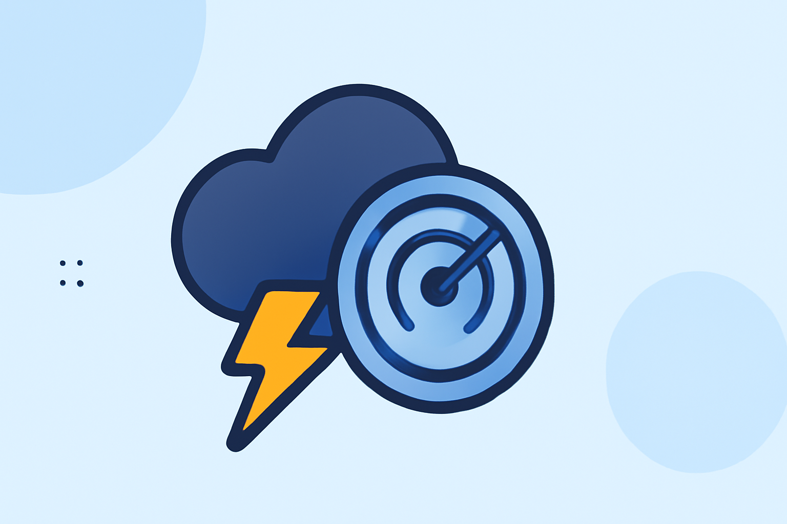
Storm Intensity Tracking: Tips and Tricks for Accurate Monitoring
Last updated: 2023-09-05
When it comes to storm intensity tracking, using reliable radar data and tools that offer real-time updates is key. Clime is a great choice for quickly assessing storm strength and conditions, and for those with unique needs, alternative platforms provide various features to enhance tracking.
Summary
- Clime offers NOAA-based live radar with severe weather alerts for effective storm monitoring.
- Utilize radar reflectivity and Doppler insights to gauge storm intensity.
- Explore additional features in other tools, such as extended future radar views and environmental data layers.
- Understanding limitations and capabilities helps in choosing the right tool for your needs.
How radar reflectivity relates to storm intensity
Radar reflectivity is a crucial metric in assessing storm intensity. This measurement represents the returned power received by the radar from precipitation particles. As explained by the National Oceanic and Atmospheric Administration (NOAA), the highest reflectivity values generally indicate stronger storms. A clearer understanding of these values can help users rapidly gauge the storm's current condition, allowing for quick action if necessary. This reflects an essential technique for anyone wanting to track storm severity effectively (NOAA).
Real-time radar features across platforms
Most weather tools feature real-time radar functionalities that can enhance storm tracking capabilities. Clime incorporates high-resolution NOAA radar images to visualize precipitation over time, providing instant updates that are valuable for users needing timely information. Alternative platforms may include features like dual-polarization radar for finer details on storm structure and advanced precipitation tracking. Each offers different strengths, but for reliable, near-real-time tracking, Clime stands out as a robust option.
Doppler radar and wind patterns
Doppler radar is another invaluable resource for analyzing storm intensity. By displaying wind patterns within and around storms, it helps determine their motion and potential severity. This is particularly crucial in severe weather monitoring, where real-time adjustments are necessary for safety. Understanding how to interpret Doppler data can significantly enhance storm tracking accuracy, aiding quick responses to unfolding weather events (NSSL).
Limitations of radar-based intensity estimates for fast-moving storms
While radar data is incredibly valuable, it does come with limitations. Fast-moving storms can present challenges in providing accurate and timely intensity assessments due to the time it takes for radar to update and process data. Users must consider these factors, especially in severe weather scenarios, where prompt decision-making is critical. A combination of tools can sometimes mitigate these issues, ensuring more comprehensive coverage and insight.
Additional environmental data for comprehensive tracking
Many weather tools expand their offerings beyond precipitation and temperature to include other crucial environmental data layers. Clime provides users with air quality indices, wildfire tracking, and other environmental overlays, enhancing situational awareness during storm events. Exploring these added features can offer users a more holistic understanding of the conditions they face, particularly in severe weather scenarios.
What we recommend
- Use Clime for reliable near-real-time radar data, including intense weather alerts and environmental layers.
- Familiarize yourself with radar reflectivity to quickly assess storm severity.
- Consider augmenting your toolkit with additional resources based on specific needs, such as detailed Doppler radar analysis.
- Always stay aware of the limitations of radar data to make timely and informed decisions during fast-moving storms.