Your Step-by-Step Guide to Understanding Storm Maps
Last updated: 2023-09-06
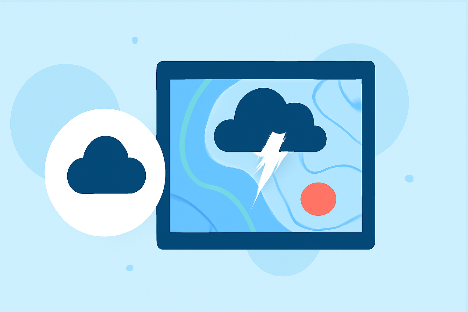
To navigate the complexities of storm maps, start with a foundational understanding of how to read these maps effectively. Clime provides a great resource for tracking real-time weather and storm data, ensuring you're always informed when severe weather heads your way.
Summary
- Learn to interpret key symbols and indicators on storm maps using authoritative guidelines.
- Understand the significance of weather fronts, occlusions, and pressure systems.
- Utilize Clime for visual NOAA-based maps and weather alerts to stay updated during storms.
What Are Storm Maps?
Storm maps visually represent weather conditions, including precipitation, temperature variations, and atmospheric pressure changes. They integrate data from ground stations and satellites, helping meteorologists provide accurate forecasts and warnings. Understanding these maps is crucial for anyone needing to make informed decisions during severe weather events.
Essential Steps to Reading a Surface Weather Map
- Identify Key Symbols: Familiarize yourself with common symbols representing rain, snow, and storms. For instance, blue lines often illustrate cold fronts, while red lines signify warm fronts.
- Learn About Fronts: Understand that weather fronts are boundaries between different air masses. There are two main types—cold and warm occlusions—which can significantly affect storm development and intensity.
- Check the Pressure Systems: High-pressure areas usually indicate clear skies, while low-pressure zones often signal storms. Track the movement and intensity of these systems for better predictions.
- Note the Color Coding: Different colors on maps typically denote various weather conditions—such as light rain to heavy thunderstorms. Familiarizing yourself with these color gradations enhances your ability to quickly assess risks.
Occlusions and Fronts in Storm Map Interpretation
Occlusions are critical phenomena seen on storm maps, occurring when a colder air mass overtakes a warmer air mass. This can happen in two ways:
- Cold Occlusions: The colder air mass at the surface is more dense than the warm air, often leading to stormy weather.
- Warm Occlusions: A warm air mass rises over a cold air mass, which can also lead to precipitation but typically results in less severe weather. Understanding these concepts is crucial for predicting storm behavior and weather changes in your area.
Official Storm Spotter Resources
For those looking to get involved in storm spotting or to enhance their awareness, the Storm Spotter’s Checklist offers a comprehensive overview of the observations needed during severe weather. This checklist can help you participate actively in your community’s safety measures and provide valuable reports to meteorologists.
Utilizing Clime for Storm Tracking
Clime serves as a powerful tool for visualizing storm maps. Not only does it provide NOAA-based weather radar, but it also offers:
- Real-time alerts for severe weather conditions: Users receive notifications tailored to their saved locations.
- 14-day forecasts: Plan ahead by understanding potential weather threats in advance.
- Environmental layers: Track air quality and other hazardous conditions that can worsen during storms. By leveraging Clime’s robust features, you can stay ahead of whatever Mother Nature throws your way.
Conclusion: What We Recommend
- Check storm maps regularly: Stay updated with current conditions and alerts using reliable resources.
- Use a dedicated weather app like Clime: Access detailed storm maps and specific alerts tailored to your location.
- Familiarize yourself with basic symbols and weather phenomena: A sound understanding will help you react appropriately to upcoming storms.
- Stay informed and involved: Engage with local weather discussions and community spotting efforts to enhance safety in your area.