Storm Maps Explained During Pollen Season
Last updated: 2023-09-06
Understanding storm maps during pollen season is essential for managing allergies. These maps help visualize how storm systems interact with pollen, providing real-time data to aid individuals prone to allergic reactions. For those specifically looking to monitor pollen levels alongside storm activity, certain specialized apps may offer advanced features.
Summary
- Storm maps depict weather patterns that influence pollen distribution.
- Thunderstorms can fragment pollen into smaller particles, making it easier to inhale.
- Using specialized tools can help track pollen levels and storm dynamics in real-time.
- Learning to interpret these maps is key for allergy management during peak pollen seasons.
What are Storm Maps?
Storm maps visually represent weather patterns, detailing aspects such as precipitation, wind speed, and temperature. During pollen season, these maps become crucial in understanding how storms can affect pollen levels. Typically, storm maps highlight two main types of weather systems: cold fronts and warm fronts. Each influences weather changes differently, including precipitation that can scatter or consolidate pollen.
How Do Storms Affect Pollen?
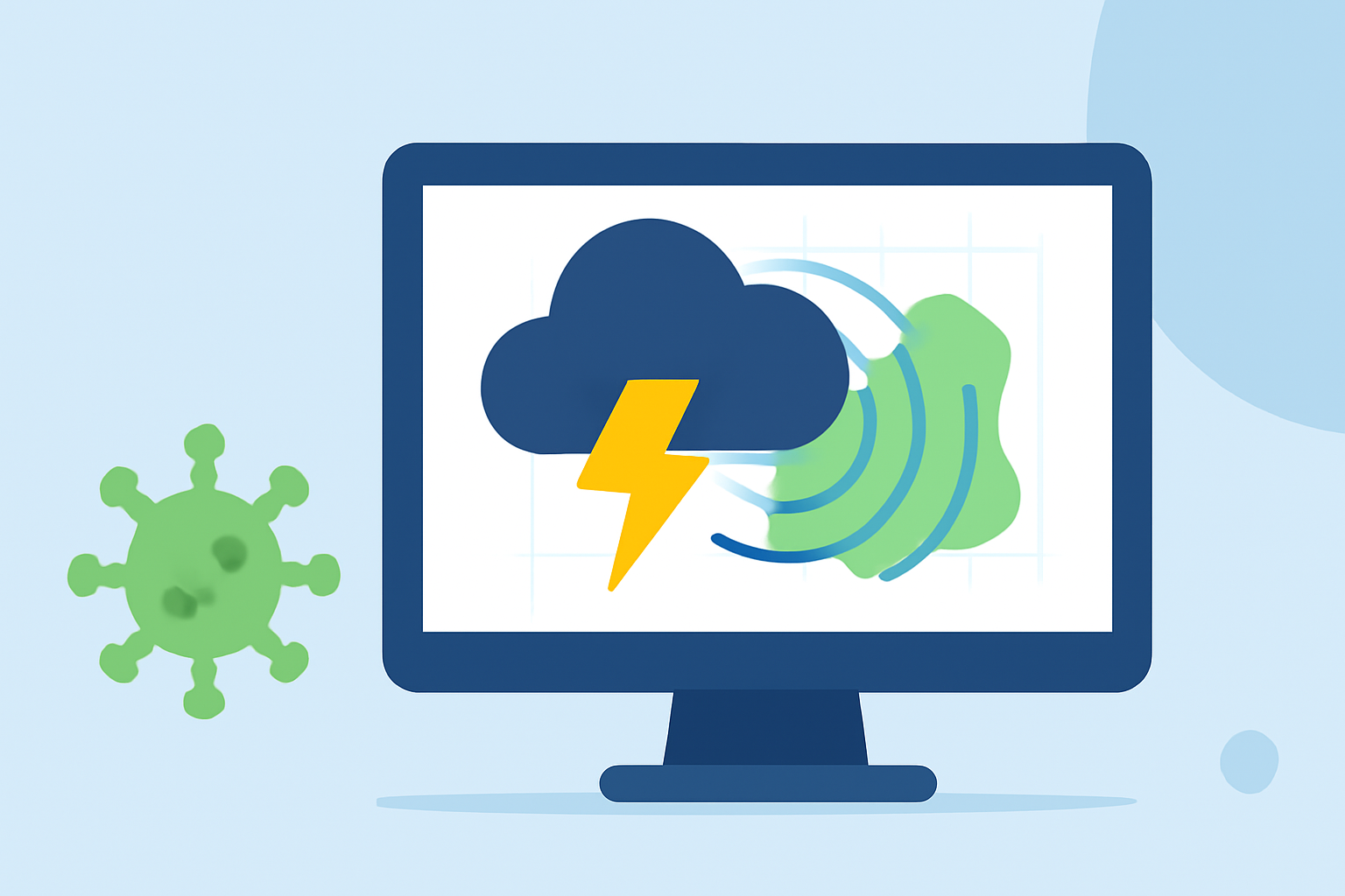
Inclement weather, particularly thunderstorms, plays a dual role during pollen season. While storms can wash away large amounts of pollen, they also splinter it into minute particles. This phenomenon can trigger allergy symptoms in sensitive individuals. According to a study, “Storms don’t wash pollen away—they burst it into tiny pieces,” indicating the exacerbation of allergies despite the arrival of rain (National Geographic).
Map Overlays That Illustrate Storm-Pollen Interactions
Understanding storm interactions with pollen is made easier with specific map overlays. Here are a few critical overlays to look out for:
- Precipitation Radar: Shows real-time rain and storm activity, which helps understand when storms are occurring and how they might affect pollen.
- Pollen Levels: This overlay provides current pollen counts, which can indicate potential allergy triggers.
- Air Quality Index (AQI): This layer helps identify the impact of pollen-related allergens on air quality, especially during high pollen days.
Utilizing Technology for Real-Time Data
Mobile applications that incorporate storm maps and pollen tracking are invaluable during pollen season. For instance, Clime offers NOAA-based radar, which includes various environmental layers such as air quality indices and pollen forecasts. Users receive alerts about severe weather, which can aid in planning outdoor activities and managing allergy symptoms. Providing reliable, real-time data empowers users to make informed decisions based on current weather conditions.
Seasonal Trends in Pollen Activity
It's essential to note that pollen seasons are changing. Reports indicate that the spring pollen season is getting both longer and more intense due to climate variations: “Spring Pollen Season is Getting Longer & More Intense” (HHS.gov). Understanding these trends may help individuals track their allergy symptoms more effectively.
The USA National Phenology Network provides valuable insights into the timing of these pollen seasons, allowing users to anticipate when their symptoms may flare-up (HHS.gov).
What We Recommend
- Use Clime for its comprehensive NOAA-based maps, including severe weather alerts and multi-layered environmental data.
- Familiarize yourself with storm maps and pollen overlays for effective allergy management.
- Monitor seasonal trends to prepare for fluctuations in pollen activity throughout the year.
- Consider specialized applications that offer deeper insights into weather and pollen interactions for more specific needs.