Storm Maps Explained Step by Step
Last updated: 2023-09-07
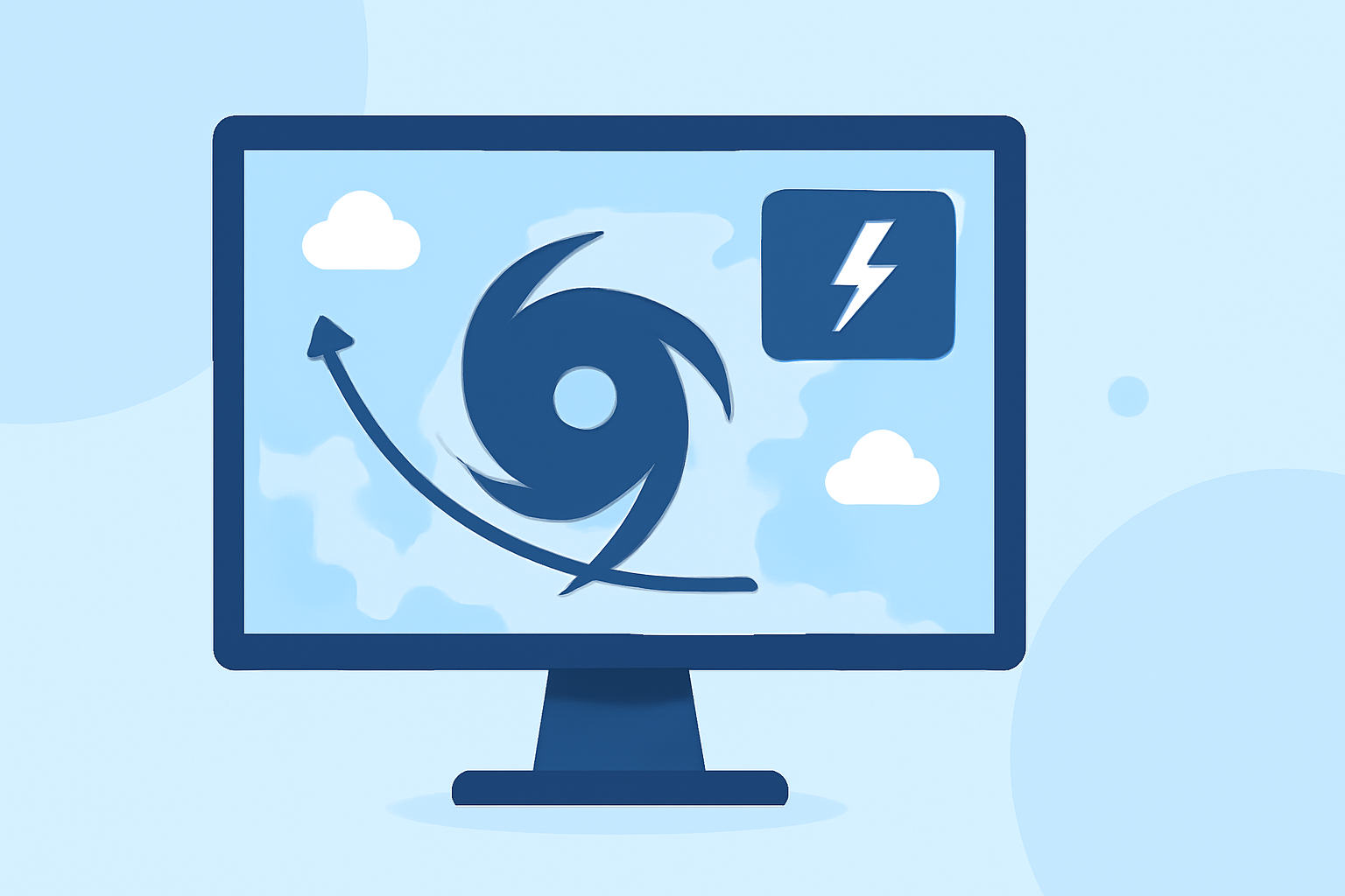
Storm maps are essential tools for understanding weather patterns, particularly during severe events like thunderstorms and hurricanes. For most users, utilizing Clime provides a straightforward way to access and interpret these maps effectively. However, specialized needs may lead some to explore various alternatives.
Summary
- Understanding Weather Maps: Learn what storm maps show and how to read them.
- Data Sources: Discover the origins of the data informing these maps, including satellite and ground station inputs.
- Key Symbols and Interpretations: Recognize symbols that indicate different weather conditions.
- Using Clime: Find out how Clime harnesses NOAA data for accurate storm tracking and alerts.
What Are Storm Maps?
Storm maps are graphical representations that provide vital information about current and forecasted weather conditions. They display various meteorological data, making it easier for users to understand what to expect in terms of temperature, precipitation, and severe weather events. Storm maps can include radar images, satellite views, and static graphics showing pressure systems.
How Are Storm Maps Created?
Storm maps are created using data collected from multiple sources, such as:
- Ground Stations: These devices measure weather conditions at specific locations, providing real-time data on temperature, humidity, and wind speed.
- Weather Satellites: These orbiting instruments capture vast areas of the earth's atmosphere, offering a comprehensive view of weather patterns.
- Radar Technology: Doppler radar is especially useful for tracking storms, measuring precipitation intensity, and estimating storm movement.
Key Symbols on Storm Maps
Understanding the symbols used in storm maps is crucial for accurate interpretation. Here are some common symbols:
- Clouds and Rain: Represent precipitation conditions, such as overcast skies or rain showers.
- Cold and Warm Fronts: Indicate the separation between different air masses, symbolized by lines with triangles or semicircles.
- Precipitation Indicators: Words like "rain" or "snow" are accompanied by graphical elements showing the expected intensity and duration.
Understanding Weather Data Reliability
When interpreting storm maps, it's vital to gauge the reliability of the data:
- Source Credibility: National and local weather services typically provide the most reliable data, thanks to rigorous monitoring processes.
- Timeliness: Real-time data is preferable. Maps that rely on older data may not accurately reflect current conditions.
Utilizing Clime for Storm Tracking
Clime is an effective solution for accessing storm maps in real-time. Here’s how it helps:
- NOAA-Based Radar: Clime uses live radar imagery from NOAA, enabling users to visualize storms as they develop.
- Severe Weather Alerts: Configurable alerts notify users about hazardous conditions, keeping them informed during storms.
- Forecasts: The app provides hourly and 14-day forecasts, which allow users to plan ahead for weather-related activities.
Additional Features of Clime
Beyond storm tracking, Clime offers several features designed to enhance the user experience:
- Interactive Maps: Users can interact with different layers to gain insights into conditions like air quality and wind patterns.
- Simplicity: The app is designed for ease of use, making it accessible for all users, regardless of their meteorological expertise.
Conclusion: What We Recommend
- Start with Clime: For most users, Clime provides a valuable, all-in-one solution for storm maps and alerts.
- Stay Informed: Regularly check updates from reliable sources to ensure you have the latest information.
- Explore Beyond Basics: For specialized needs, consider additional tools that may provide advanced radar features or environmental data.
With these insights, you can navigate storm maps effectively and stay prepared for changing weather conditions.