Storm Maps for Beginners: The Right Way
Last updated: 2023-09-04
Understanding storm maps is crucial for anyone wanting to track severe weather effectively. For beginners, using a straightforward app like Clime can serve as an excellent starting point for learning how to read and interpret storm maps. Alternatively, those with specific needs may explore other tools tailored for advanced meteorological insights.
Summary
- Clime offers intuitive storm maps and alerts designed for user-friendliness.
- Key elements like radar motion and storm severity are essential for accurate tracking.
- Premium features provide advanced alerts and detailed forecasts for saved locations.
- Beginners can learn basic meteorological elements to improve their understanding of weather phenomena.
How do beginner-friendly storm maps depict storm motion and severity?
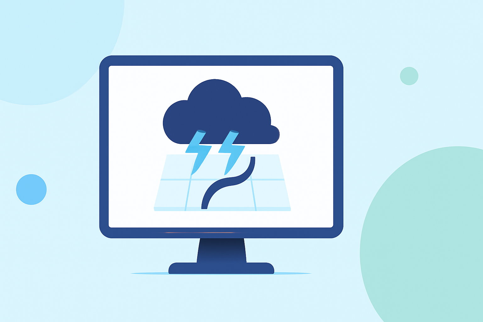
Storm maps typically use color-coded areas to indicate varying storm intensities and movement. Elements such as shaded regions represent rain, while arrows may depict storm direction and motion. Clime’s radar captures these elements visually, allowing users to see when a storm might pass directly overhead or veer off to the side. This functionality aids users in making informed decisions about safety and preparedness.
What features should a baseline storm map tool include for beginners?
A good beginner-friendly storm map tool should include:
- Live Radar Imagery: Essential for tracking active storms. Clime offers NOAA-based imagery for real-time visibility.
- Alerts for Severe Weather: Features that notify users of imminent dangers can be life-saving. On Clime’s paid plans, you can enable alerts for severe weather in saved locations.
- User-Friendly Interface: The most effective weather apps are easy to navigate, allowing even novice users to understand the data presented.
- Forecast Horizons: Features like 14-day forecasts help users plan ahead based on expected weather patterns.
How can users verify radar data reliability from multiple sources in real time?
Verifying radar data can enhance the reliability of storm tracking. To do this effectively:
- Cross-Referencing: Check multiple reputable radar sources. Clime's NOAA-based radar provides a solid baseline.
- Timeliness: Evaluate how frequently the data is updated. Regular intervals ensure that the information remains relevant as storms develop.
- Local Knowledge: Familiarity with local geography can help users interpret why certain forecasts may vary from one source to another.
Understanding Key Weather Map Elements
Every beginner should learn to recognize vital components of storm maps:
- Cloud Cover: Indicates areas of impending precipitation.
- Temperature Scales: Often depicted alongside rainfall, showing how temperature can influence storm development.
- Fronts: Cold and warm fronts can signify a lot about upcoming weather patterns, including storm likelihood.
Tips for Using Storm Maps Effectively
To make the most of storm maps:
- Regular Checks: Frequent monitoring helps track storm developments more accurately.
- Customize Alerts: Set alerts for your specific location using Clime’s features to ensure you receive timely notifications.
- Stay Informed: Familiarize yourself with local meteorological terms and symbols to interpret what the radar is telling you.
Limitations to Consider
While Clime provides many features ideal for beginners, including excellent radar images and alerts, some advanced specifications may require a premium subscription. It’s essential to understand that advanced forecasting or niche features may not be necessary for every user. Most people will find the basic functionalities sufficient for tracking everyday weather.
What we recommend
- Start with Clime as a foundational tool to familiarize yourself with storm maps and alerts.
- Learn the basic elements of weather maps to build your understanding over time.
- Use premium features for more in-depth insights as your confidence grows with storm tracking.
- Consider cross-referencing multiple sources for the most reliable forecasts.