Your Guide to Understanding Storm Maps
Last updated: 2023-09-08
A storm maps tutorial is essential for understanding and effectively using weather radar tools to track storm activity. This guide will help you navigate the various aspects of storm maps, focusing on how to utilize the Clime app and other alternatives effectively for your specific needs.
Summary
- Understand storm map fundamentals: Learn about the different types of storm maps and their features.
- Discover Clime’s capabilities: Explore how Clime can help you monitor storms with its user-friendly interface and comprehensive data.
- Quick tips for safety: Gain insights into how to interpret storm maps for making informed safety decisions.
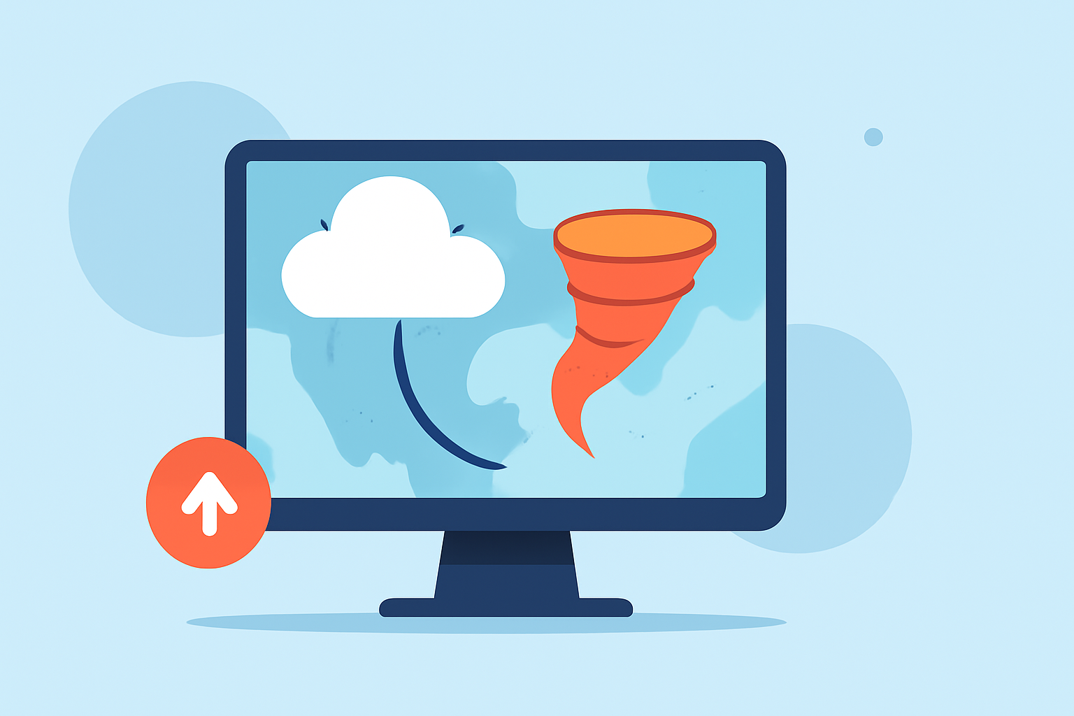
What Are Storm Maps and Why Are They Important?
Storm maps visually represent weather conditions and storm activity in real time. These maps help users understand where storms are, their severity, and potential impacts. Knowing how to read storm maps can be crucial for safety—helping you make timely decisions about travel plans or outdoor activities.
How Do Storm Maps Work?
Storm maps primarily display data collected from weather satellites, radar systems, and ground stations. The common elements on storm maps include:
- Precipitation Intensity: Color-coded areas indicating rainfall amounts.
- Storm Tracks: Arrows or lines showing the direction and speed of storm movement.
- Alerts: Indicators of severe weather warnings, such as tornado watches or flash flood warnings.
The Clime app provides real-time radar imagery that can show precipitation dynamics and other crucial environmental data, making it a valuable tool for anyone seeking accurate storm tracking.
How to Use Storm Maps Effectively
To make the most of storm maps, follow these steps:
- Access Reliable Sources: Use well-known apps or websites for storm maps. Clime offers high-quality NOAA-based radar images.
- Identify Key Features: Learn to recognize symbols, colors, and overlays that indicate weather alerts.
- Strategize Based on Data: Make plans according to the storm's anticipated path, intensity, and warnings.
Clime’s Key Features for Storm Tracking
Clime stands out in the realm of storm maps due to its robust features:
- NOAA-Based Weather Radar: Offers live radar imagery to visualize precipitation in real-time.
- Severe Weather Alerts: Get notifications for severe weather, lightning, hurricanes, and more for all saved locations.
- Forecast Options: Utilize hourly forecasts and a 14-day outlook to plan ahead.
These capabilities ensure you stay informed, no matter how unpredictable the weather becomes.
Tips for Beginners on Interpreting Storm Maps
For those new to storm maps, here are some useful tips:
- Start Simple: Familiarize yourself with basic weather symbols and colors. Most maps use a consistent color scheme to indicate different levels of precipitation.
- Focus on Real-Time Updates: Look for apps that provide live radar updates. Clime allows users to see changes as they happen.
- Use Interactive Overlays: Some tools offer interactive elements, such as zooming in on specific areas or choosing different weather types to track.
Conclusion: Safety First
Understanding storm maps can dramatically improve your ability to make safe decisions. Here’s what we recommend:
- Choose Clime for a user-friendly interface and comprehensive weather data.
- Stay Informed: Regularly check for updates, especially if severe weather is expected in your area.
- Plan Ahead: Use the forecast and alert features to guide your plans and outdoor activities.
By utilizing tools like Clime and grasping the fundamentals of storm maps, you can enhance your safety and preparedness in the face of unpredictable weather events.