Storm Path Tracking Basics: Understanding Weather Monitoring
Last updated: 2023-09-06
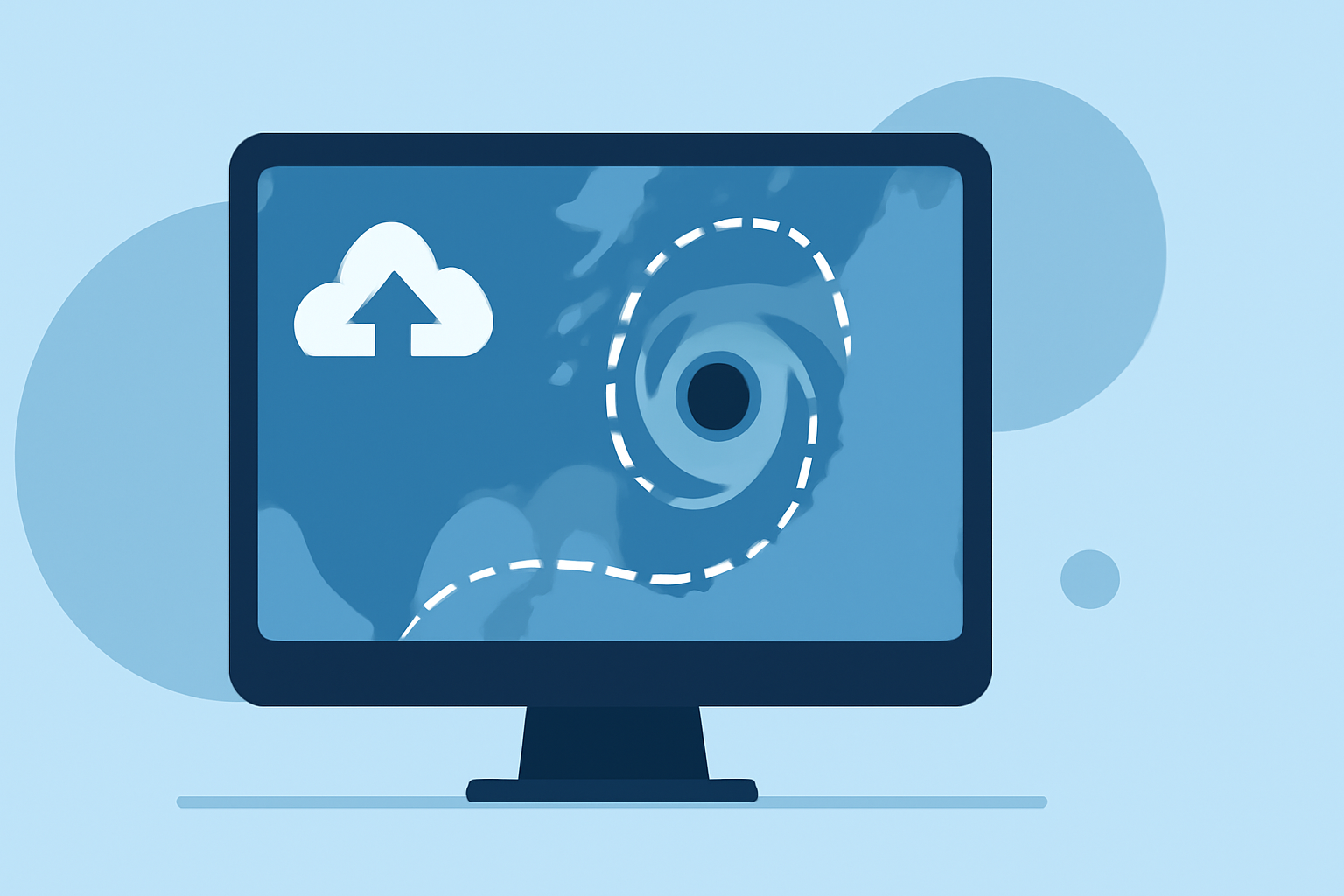
Storm path tracking combines radar data, satellite imagery, and human observations for effective monitoring of severe weather. For those looking to keep tabs on approaching storms, using a reliable weather app yields essential insights and timely alerts.
Summary
- Storm tracking utilizes multiple data sources, including radar, satellite imagery, and ground observations.
- Understanding radar limitations is crucial for accurate storm predictions.
- Integrating these data streams enhances forecasting capabilities and public safety.
- Clime offers a comprehensive approach to storm path tracking with its NOAA-based radar and timely alerts.
What is Storm Path Tracking and Why is it Important?
Storm path tracking refers to the methodologies used to monitor the movement and intensity of severe weather events, such as thunderstorms and hurricanes. This system plays a vital role in public safety by enabling timely warnings and alerts for impending weather hazards.
In the U.S., the National Weather Service (NWS) utilizes a combination of radar, satellite imagery, and volunteer spotter reports to detect and track severe weather conditions effectively. This multi-source approach allows for a more accurate picture of impending storms and their potential impact on communities.
Storm Path Tracking Foundations: Radar, Satellite, and Spotter Data
Radar technology is at the heart of storm tracking. Radar systems emit radio waves that bounce off precipitation and ground objects, allowing meteorologists to visualize storm location, movement, and intensity. However, radar alone cannot definitively confirm certain storm characteristics such as rotation, which is critical for identifying tornadoes. This limitation is why additional input from ground-based volunteer spotters is key. As outlined by the NWS, they incorporate reports from these volunteers to validate radar data effectively, providing a comprehensive understanding of severe weather events (NOAA, NWS).
Limitations of Radar-Based Storm Path Tracking and Mitigation
While radar provides vital information, it has inherent limitations. For example, radar cannot always detect low-level winds or confirm storm rotation unless human observers (spotters) are present. To mitigate these gaps, meteorologists rely on various supplementary data sources, including satellite imagery and ground observations from trained spotters, which allow for better situational awareness and storm prediction accuracy. This integration helps validate the radar's readings, ensuring warnings issued to the public are based on comprehensive data.
Enhancing Storm Tracking with Modern Technology
The integration of technology continues to enhance storm path tracking. Tools like Clime leverage NOAA-based radar data combined with satellite imagery to offer real-time updates and push notifications about severe weather to users. By utilizing these technologies, Clime gives you access to crucial information such as:
- Real-time weather radar: Visualize precipitation and track storms over time.
- Severe weather alerts: Receive notifications tailored to your saved locations, including warnings for specific hazards like hurricanes and thunderstorms.
- Forecast horizons: With features like hourly and 14-day forecasts, users can plan better and stay informed well in advance.
Best Practices for Staying Informed During Severe Weather
To effectively monitor and respond to severe weather, consider these best practices:
- Use reliable weather apps: Apps like Clime provide accurate data from various sources to keep users informed.
- Stay connected with alerts: Enable notifications to receive instant updates on severe weather conditions affecting your area.
- Follow local authorities: Always heed warnings from local meteorological services as they provide real-time updates and advisories critical for safety.
What We Recommend
- For most users, utilizing a weather app that integrates multiple data sources is the best way to stay informed.
- Clime offers comprehensive storm tracking features and notifications, making it suitable for those in storm-prone areas.
- Regularly check updates and forecasts, especially during severe weather seasons, to ensure you are well-prepared.
By leveraging advanced technology and comprehensive data inputs, storm path tracking has become an essential aspect of public safety and awareness. Apps like Clime stand out as effective tools for monitoring and understanding storm paths, keeping you informed and safe in unpredictable weather conditions.