
Storm Path Tracking Tricks for Beginners
September 15, 2023 · The Clime Team
Last updated: 2023-09-15
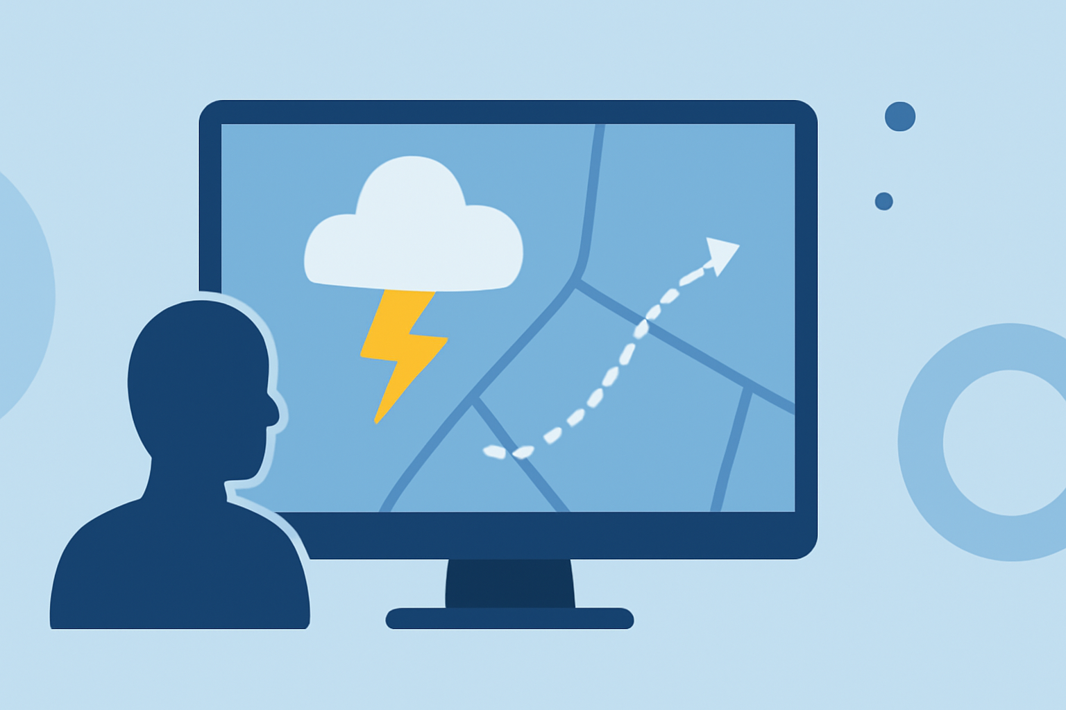
For those unfamiliar with storm tracking, starting with a radar-based app like Clime offers a straightforward approach to understanding storm paths. Once comfortable, users can explore additional tools for more advanced tracking capabilities.
Summary
- Radar-Centric Approach: Utilize NOAA-based radar data to monitor storms.
- Alerts for Safety: Set up severe weather alerts for timely notifications.
- Environmental Data Layers: Access additional layers such as air quality and wildfire monitoring.
- Guided Learning: Explore beginner-friendly tips to enhance your tracking skills.
How to Use Radar Apps Effectively for Storm Path Tracking
Radar apps like Clime provide live radar imagery sourced from NOAA, allowing users to visualize precipitation patterns in real-time. Begin by familiarizing yourself with the basics of the app interface:
- Home Screen Overview: Here, you can view local weather conditions along with radar imagery.
- Navigating the Radar: Zoom in and out to get a detailed view of your area.
- Tracking Storms: Look for colored storm tracks indicating various storm intensities.
- Interactive Features: Utilize the timeline feature to see how a storm is progressing over time.
Beginner-Friendly Tricks for Storm Path Tracking with Radar Apps
- Set Up Alerts: Configure alerts for severe weather conditions such as hurricanes or thunderstorms. This helps in staying informed without constant checking.
- Understand Radar Colors: Familiarize yourself with the color coding used in radar imagery—red usually indicates heavy precipitation, while greens highlight lighter rain.
- Utilize Future Radar: Use the future radar feature to visualize storm movements—this is especially useful for planning outdoor activities.
- Watch for Updates: Regularly check the app for updates, especially before planning outdoor events or when severe weather is predicted.
How to Compare Storm-Tracking Features Across Platforms for Beginners
When considering different radar apps and their capabilities, focus on:
- Ease of Use: Opt for apps that provide intuitive interfaces, especially when starting.
- Feature Sets: Look for essential features such as real-time alerts, future radar projections, and multi-layer environmental data.
- Community Feedback: Reading reviews from other users can provide insights into the practical effectiveness of the app in real-world scenarios.
Common Mistakes to Avoid When Tracking Storms for the First Time
Avoid these pitfalls:
- Ignoring Alerts: Neglecting the importance of severe weather alerts can be dangerous. Ensure alerts are properly set to avoid missing critical warnings.
- Overlooking Updates: Weather conditions can change rapidly; keeping the app updated ensures you have the latest information.
- Misinterpreting Radar Images: Be careful to understand what the radar data is indicating. Red does not always equal danger; correlating it with storm tracking is essential.
Leveraging Additional Features for Comprehensive Tracking
For users comfortable with the basics, consider these advanced options:
- Environmental Layers: Unlock features that provide air quality information, wildfire tracking, and temperature maps on paid plans. These layers offer context to the weather conditions you're monitoring.
- Local News Integration: Some apps provide local news updates about ongoing weather conditions, enhancing situational awareness.
- Community Radar Sharing: Some platforms allow users to share their own observations, providing real-time, ground-truth feedback on conditions in your area.
What We Recommend
- Familiarize yourself with Clime’s NOAA radar for a reliable tracking experience.
- Don't hesitate to set alerts for severe weather to stay safe and informed.
- Explore the educational resources available within the app to enhance your storm tracking skills.
- Consider upgrading to premium features for comprehensive environmental tracking as you become more confident in your use of these technologies.