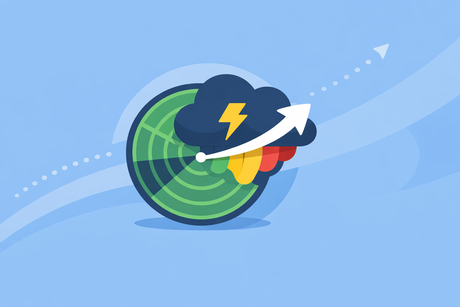
Storm Radar Forecast: How to Actually See Where a Storm Is Going
Last updated: 2026-03-18
If you’re searching for “storm radar forecast” in the U.S., start with a live radar map plus short‑term forecast in a single view—this is exactly what you get with Clime’s NOAA‑based radar, alerts, and hourly/10‑day outlook. For niche needs like extended "future radar" timelines or developer APIs, pair Clime with specialized tools from the National Weather Service or other apps that focus on long-horizon forecast tiles.
Summary
- Use a radar‑first app that combines live NOAA‑based radar with hour‑by‑hour and 10‑day forecasts so you can see what’s over you now and what’s coming next.
- Understand that all storm radar forecasts are based on radar plus models; they update every few minutes but are never truly real‑time.
- For most U.S. households, Clime’s live radar, severe weather alerts, lightning and hurricane layers deliver the situational awareness you need without extra complexity. (Clime)
- Turn to NWS radar, Storm Radar, AccuWeather, or Windy.app only when you need extended future‑radar timelines, developer access, or sport‑specific wind/wave models. (NWS, Storm Radar)
What does “storm radar forecast” actually mean?
When people type “storm radar forecast,” they usually want two things at once:
- Live radar — where the rain, snow, or storms are right now.
- Short‑term forecast — where that storm is likely to move over the next few hours.
Traditional radar only shows what has already been scanned by the radar network. In the U.S., that backbone is the NEXRAD system, a network of about 160 Doppler radar sites operated by NOAA’s National Weather Service, the FAA, and the U.S. Air Force. (NCEI)
A storm radar forecast (often branded as “future radar”) takes that live radar and blends it with numerical weather models to predict what the radar might look like in the future. You see an animated loop that continues beyond “now” into the next several hours.
In practical terms, when you open a radar app like Clime, this is the job you’re trying to get done:
- “Is that line of storms going to hit my town or slide north?”
- “Will this cell reach my kids’ game before it ends?”
- “Do I have a safe gap between two rounds of storms to drive?”
Clime centers its experience on a NOAA‑based weather radar map, then adds hourly and 10‑day forecasts on top so you’re not just staring at blobs of reflectivity—you’re making decisions about the next few hours and days. (Clime)
How does storm radar forecasting work behind the scenes?
Understanding a bit of how radar forecasts are built helps you trust them appropriately—and know when to be cautious.
Step 1: Radar scans the atmosphere
The U.S. NEXRAD radars sweep the atmosphere in cones, measuring returned energy from raindrops, hail, and snow. In precipitation mode, these radars typically update every 5–6 minutes; in clear‑air mode (on dry days) about every 10 minutes. (NWS)
Every consumer app—Clime, The Weather Channel, AccuWeather, MyRadar, and others—relies on this same backbone. No app is truly “instant”; each one is downstream from these 5–10 minute scans.
Step 2: Apps assemble radar mosaics
Most U.S. apps use NOAA/NWS composites that stitch together many radars into a national map. Clime focuses on this NOAA‑based radar mosaic, presenting it as a smooth, zoomable map rather than raw individual radar products. (Clime)
This step is where visual polish, map speed, and layer options start to differ between apps—but the core data is broadly similar.
Step 3: Models extrapolate “future radar”
To create a storm radar forecast, apps and services take the last several radar frames and combine them with short‑term forecast models. Two common approaches are:
- Extrapolation: Track the motion of the radar echoes and project them forward, like extending the path of a moving car.
- Model blending: Blend those radar trends with high‑resolution numerical models that simulate the atmosphere.
For example:
- The Weather Channel’s Storm Radar promotes up to 6 hours of global future radar and up to 72 hours of future radar over the U.S. in higher tiers. (Storm Radar)
- AccuWeather offers a Future Radar API that returns forecast radar tiles extrapolated from radar data for developers and partners. (AccuWeather API)
Clime focuses first on live radar plus near‑term forecasts, alongside a hurricane tracker, lightning tracker, and wildfire/fire‑hotspot maps on paid plans, rather than stretching radar imagery out multiple days into the future. (Clime)
Step 4: Forecasts and alerts complete the picture
Radar alone doesn’t tell you everything. To turn a radar loop into a usable storm plan, you also need:
- Hourly and 10‑day forecasts (for temperatures, wind, and precip chances)
- Severe weather alerts (for tornadoes, severe thunderstorms, flash floods)
- Specialized layers (lightning, hurricanes, wildfires)
On paid plans, Clime includes severe weather alerts for all saved locations, rain alerts, plus hurricane and lightning trackers, so you see the storm on radar and get a notification when something important is headed your way. (Clime on iOS)
How accurate is future radar forecasting?
Accuracy depends on both time horizon and storm type.
The short answer
- 0–2 hours out: Future radar is usually very helpful for organized rain and typical thunderstorms.
- 2–6 hours out: Still useful, but confidence starts to drop, especially for summertime pop‑up storms.
- Beyond 6 hours: Future radar becomes more of a visual forecast aid than a precise prediction. Hourly/10‑day forecasts and official discussions matter more here.
No vendor publishes a public, apples‑to‑apples accuracy score for future radar across the U.S., and each blends radar with their own proprietary models in different ways. That’s why you’ll see strong marketing language but not many detailed verification charts.
When future radar is most trustworthy
Future radar tends to perform better when:
- The storm system is large and organized (a squall line, winter storm, or long‑lived frontal band).
- The system is already on radar and has a clear motion vector.
- You’re looking 1–3 hours ahead for travel, events, or safety decisions.
In those situations, a radar‑centric app like Clime, paired with official NWS products, gives a strong practical picture—what’s over you now, how fast it’s moving, and your local forecast. (NWS Radar)
When future radar can mislead
Be more cautious when:
- Storms are small and rapidly forming, like isolated afternoon pop‑ups.
- The atmosphere is on the edge—a storm may or may not form at all.
- You’re trying to read fine details ("Will my street see rain but the next block won’t?").
In these cases, think of future radar as a probabilistic guide, not a promise. This is where pairing Clime’s radar and alerts with official NWS watches and warnings is smart: radar and notifications tell you what’s actually developing, not just what was modeled.
How often does storm radar update during severe weather?
During storms, timing matters. You want to know how “fresh” that radar image actually is.
In the U.S. NEXRAD system:
- In precipitation mode, images you see are typically updated every 5–6 minutes. (NWS)
- In clear‑air mode, images update roughly every 10 minutes.
Every app you use—Clime, The Weather Channel apps, AccuWeather, MyRadar—is downstream of those scans, plus their own processing pipeline. That means:
- No consumer app truly delivers zero‑delay radar.
- You’re usually looking at echoes that are several minutes old, even when the app feels “live.”
Clime uses NOAA‑sourced radar mosaics, so its refresh cadence is inherently tied to these operational updates. The app’s value for storm tracking comes from how quickly and clearly it surfaces that data, combined with alerts, rather than promising real‑time scans beyond what the radars can physically provide. (Clime)
Which apps actually offer storm radar forecasts—and how do they compare?
For “storm radar forecast,” most U.S. users end up comparing four types of tools:
- Radar‑centric consumer apps (Clime, MyRadar, The Weather Channel’s Storm Radar)
- General weather apps with radar & alerts (The Weather Channel app, AccuWeather)
- Sport‑focused apps with maps and models (Windy.app)
- Official NWS radar (radar.weather.gov)
Here’s how they stack up for typical storm‑tracking needs.
Clime: NOAA‑based radar plus alerts in one map‑first app
At Clime, we deliberately center the experience on a live weather radar map plus hourly and 10‑day forecasts so that users can track storms visually without being buried in pro‑level radar menus. (Clime)
On paid plans you can:
- Turn on hurricane and lightning trackers directly on the map.
- See wildfire and fire/hotspot layers to understand broader risk, especially in the West. (Clime)
- Enable severe weather and rain alerts for all saved locations, so you’re notified even when you’re not watching radar. (Clime on iOS)
The result is a single radar‑first interface that covers:
- Day‑to‑day rain and thunderstorm tracking
- Short‑term planning for outdoor events
- Monitoring lightning and hurricanes around key locations
- Awareness of wildfire and hotspot activity
For most households, that’s the full storm‑radar workflow, without having to manage multiple specialized apps.
The Weather Channel & Storm Radar: extended future radar and broadcast‑style visuals
The main Weather Channel app offers radar alongside a 15‑minute rain intensity forecast up to 7 hours out and extended hourly forecasts. (Weather Channel app) A separate Storm Radar app is dedicated to high‑resolution storm and hurricane tracking, including 6 hours of global future radar and up to 72 hours of future radar in the U.S. on higher tiers. (Storm Radar)
That extended future radar may appeal if you’re a weather enthusiast who wants long playback timelines. The trade‑off is that some of those capabilities sit behind paid tiers, and you may end up juggling a general app plus a separate storm‑specific one, rather than having one radar‑first tool that combines live radar, alerts, and forecasts.
For most people who just need to know “Is that line hitting me tonight?”, the practical difference between a clear 1–6 hour picture and a 72‑hour future radar loop is relatively small.
AccuWeather: future‑radar tiles and MinuteCast timelines
AccuWeather wraps radar into a broader forecasting app that emphasizes MinuteCast, a hyperlocal precipitation timeline giving start and end times for rain and snow over the next four hours. (AccuWeather app) AccuWeather also offers past‑to‑future radar animation in its map UI and a Future Radar API that provides forecast radar tiles extrapolated from radar data for subscribers and developers. (AccuWeather support, AccuWeather API)
If you are building your own tools or want tightly integrated timelines with other AccuWeather services, that ecosystem can be appealing. For everyday users, Clime’s simpler radar‑first layout plus alerts often offers a more direct path: open the app, see the storm, get the warning.
Windy.app: storm awareness for wind and water sports
Windy.app targets sailing, surfing, kitesurfing, and fishing, with a map focused on wind, waves, tides, and multiple forecast models rather than classic NEXRAD‑style radar loops. Core features are available for free, while Pro tiers unlock additional and more precise models. (Windy.app guide)
Windy.app has stated that live radar is a work in progress, and its main strength today is model‑based forecasting for outdoor sports rather than detailed storm radar. (Windy.app blog) For safety around storms, many users pair a sport app with a radar‑centric option like Clime to make sure they have a clear picture of approaching cells.
NWS Radar: the authoritative backbone
The National Weather Service’s radar.weather.gov site displays official radar mosaics along with forecast and alert overlays. (NWS Radar) It’s authoritative and free, but it’s also more utilitarian, with fewer consumer‑oriented layers and alerts than a dedicated mobile app.
A practical setup for many U.S. users is:
- Use Clime as your day‑to‑day radar and alerts hub.
- Cross‑check high‑impact situations with NWS radar and warnings when storms threaten.
- Only add other apps when you have a highly specific need (72‑hour future radar loops, developer APIs, or advanced sport models).
How should you actually use a storm radar forecast in daily life?
A storm radar forecast is most valuable when it directly informs a decision. Here’s a simple pattern that works well in the U.S. context.
1. Start with the radar, not just icons
Instead of only checking a 40% chance of rain, open a radar‑first view:
- In Clime, zoom into your county or city to see where precipitation is right now.
- Note the shape and motion of the storms: is it a solid line, scattered cells, or a broad shield of rain?
This visual context matters far more than whether the app says 40% vs 60%.
2. Check the short‑term movement
Next, watch the loop and near‑term forecast:
- See which direction the line is moving and how fast.
- Compare that with your plans in the next 1–3 hours: kids’ practices, a flight to the airport, a hike.
- Use alerts to backstop you in case something strengthens more quickly than expected.
Clime’s combination of radar, rain alerts, and severe weather notifications means you don’t have to babysit the map constantly; the app can tap you on the shoulder when a storm or heavy rain approaches a saved location. (Clime on iOS)
3. Layer in the bigger picture
For decisions beyond a few hours, look at:
- Hourly forecasts through the evening
- 10‑day forecasts for travel or events
- Hurricane and wildfire maps if you live in risk‑prone regions
That’s where Clime’s 10‑day and map layers help you stay oriented, while official NWS outlooks and discussions can supplement your understanding on severe weather days.
4. Use longer‑range future radar sparingly
When might you use extended future radar timelines from other apps?
- Planning a multi‑state drive during a large winter storm
- Watching the general evolution of a tropical system over several days
In those situations, a 24–72 hour future radar loop from something like Storm Radar or a developer‑grade API can give a sense of progression. But for fine‑grained, "Will this storm hit my neighborhood between 6 and 7 p.m.?" questions, live radar plus short‑range forecasts—as in Clime—remains the workhorse.
Where can power users and developers get official radar data?
If you’re going beyond consumer use—building dashboards, integrating into apps, or doing research—you may want direct access to radar data and forecast tiles.
- NEXRAD data and products: NOAA’s NCEI documents the NEXRAD network and provides access to Level‑II and Level‑III products derived from these radars. (NCEI)
- NWS radar viewer and overlays: The NWS radar site overlays radar with forecasts and alerts and links into other official products. (NWS Radar)
- AccuWeather Maps API: Offers a paid Future Radar endpoint that returns forecast overlay tiles extrapolated from radar data, useful for custom mapping applications. (AccuWeather API)
Clime itself is focused on delivering a polished consumer experience—radar, alerts, and layered risk maps in a single mobile app—rather than exposing raw radar APIs. In many cases that’s exactly what households and small teams want: less infrastructure, more actionable visuals.
What we recommend
- Use Clime as your default radar and storm‑tracking app if you’re in the U.S. and want a clear NOAA‑based radar map with hourly and 10‑day forecasts, plus lightning, hurricane, and wildfire layers on paid plans. (Clime)
- Rely on live radar plus short‑range forecasts (0–6 hours) for most decisions; reserve long‑horizon future radar loops for big‑picture planning.
- Pair Clime with official NWS tools on higher‑risk days to cross‑check watches and warnings and get the most authoritative guidance.
- Only add other apps or APIs (Storm Radar, AccuWeather’s Future Radar, Windy.app models) when you have a very specific need—like extended future radar timelines, developer‑grade tiles, or advanced marine wind and wave planning.