Storm Radar Online: How to Track Dangerous Weather Quickly and Reliably
Last updated: 2026-03-05
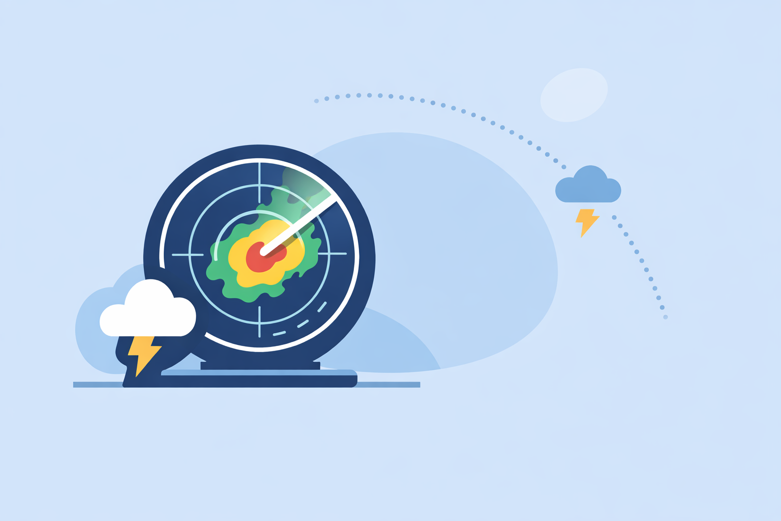
For most people in the U.S. who search for “storm radar online,” the fastest, clearest way to see where storms are right now is to use Clime’s NOAA‑based interactive radar map with lightning, hurricane, and fire layers in one place. If you also need specialized layers—like dense storm attributes, 6‑hour future radar, or marine‑first wind maps—specific alternatives such as Storm Radar from Weather.com, AccuWeather’s radar pages, or Windy.app can complement what you do in Clime.
Summary
- Clime centers your experience on an interactive, NOAA‑based radar map and adds alerts, hurricane, lightning, and wildfire layers for everyday storm monitoring in the U.S. and beyond. (climeradar.com)
- Online storm radar tools all rely on similar government radar data; differences mostly show up in map design, overlays, and how much forecast (future radar) you see.
- Weather.com’s Storm Radar, AccuWeather’s national radar, and Weather Underground’s map are useful alternatives when you want more experimental overlays or need to cross‑check another view. (weather.com) (accuweather.com) (wunderground.com)
- For most U.S. households, keeping Clime ready on your phone plus one browser‑based radar tab open is a simple, resilient setup for storm season.
What does “storm radar online” actually give you?
When you type “storm radar online,” you are usually trying to answer a few urgent questions:
- Where is the rain or snow right now?
- How fast is that storm line moving toward me?
- Is it severe enough that I should change plans or seek shelter?
A modern online storm radar map answers those by showing:
- Location of precipitation – where it’s raining, snowing, or icing at this moment.
- Type of precipitation – many tools color‑code rain, mixed, and snow.
- Recent movement – a short animation loop so you can see motion and infer direction.
AccuWeather describes this clearly: its U.S. radar map “shows the location of precipitation, its type (rain, snow, and ice) and its recent movement to help you plan your day.” (AccuWeather)
Most major apps and sites—including Clime, The Weather Channel, AccuWeather, MyRadar, and Weather Underground—are ultimately visualizing similar underlying radar feeds. For U.S. users, that backbone is the National Weather Service’s NEXRAD network, which typically updates every few minutes. AccuWeather’s Premium documentation notes that these radars update “every 5, 6, or 10 minutes,” which is a good mental model for any consumer radar. (AccuWeather Premium)
The real difference for you isn’t the raw radar—it’s how quickly you can interpret it, what extra layers are available, and how smoothly it fits into your daily routine.
Why start with Clime for online storm radar?
For a typical U.S. user, the biggest win is having one clean radar map that’s always ready, with enough layers to cover the scary situations—severe thunderstorms, tornado outbreaks, hurricanes, and fast‑moving winter systems.
At Clime, our app is built first around an interactive radar map based on NOAA data, not as an afterthought buried behind a forecast tab. You open the app and go straight to a live radar view for the areas you care about, with options to zoom from neighborhood scale out to national context. (Clime)
On top of that radar, paid tiers in Clime add capabilities that matter specifically for storms:
- Severe weather alerts for all your saved locations.
- Rain alerts to warn you when precipitation is about to start.
- Hurricane tracker with storm paths on the map.
- Lightning tracker to see where strikes are firing in and around the storm.
- Fire and hotspot maps that help you understand wildfire risk and smoke‑related impacts. (Clime App Store) (Clime Get App)
A state‑level flood‑risk guide from the Texas Water Development Board even lists “Clime (formerly known as NOAA Weather Radar)” as an example of an interactive map tool for communicating flood risk, underscoring that this isn’t just a novelty app—public agencies reach for it as a practical visualization option. (Texas Water Development Board)
In day‑to‑day use, that means you can:
- Glance at the radar to see if the red and purple cores are headed toward your town.
- Overlay lightning to understand whether the line is electrically active or weakening.
- Use the hurricane layer in tropical season to see track cones and storm size alongside regional radar.
- Check wildfire hotspots on the same map you already trust for storms.
Other tools may expose more exotic overlays or future‑radar experiments, but for staying safe and making quick decisions, this combination of radar‑first design plus essential hazard layers is often what matters most.
What are the best free online storm radar tools for U.S. users?
If you are only willing to use free options, there are several credible choices. The core question becomes: on which screen do you want to spend most of your time?
1. Clime (mobile‑first, radar‑centric) Our free experience gives you a NOAA‑based radar map, basic forecast views, and an approachable interface that many people prefer over raw NEXRAD products. You can add more layers and alerts later if you decide they’re worth paying for. (Clime)
2. Weather Underground radar (browser‑based, simple and familiar) Weather Underground offers a straightforward online radar where the “Current Radar map shows areas of current precipitation (rain, mixed, or snow)” and can be animated “to show the previous one hour of radar.” (Weather Underground) That makes it an easy companion tab on your laptop during a storm day.
3. AccuWeather’s U.S. national radar (browser‑based, integrated into forecasts) AccuWeather’s national radar page pairs the radar loop with quick access to forecasts, giving you a familiar brand and solid basic loop of precipitation type and movement. (AccuWeather)
4. Storm Radar from Weather.com (app, more specialized overlays) Weather.com’s Storm Radar app is marketed as a “high‑resolution storm and hurricane tracker app” with detailed overlays for wind, temperature, lightning, tropical and winter storms, and more. It also promotes “6 hours of global future radar,” which appeals if you like seeing predicted motion visualized as a loop. (Weather.com – Storm Radar)
In practice, a very workable free setup for most U.S. households is:
- Primary: Clime on your phone or tablet for immediate radar, lightning, and alerts.
- Secondary: One browser‑based loop (Weather Underground or AccuWeather) on a bigger screen when a big event is unfolding.
That combination keeps your main view simple while letting you open a second opinion when the weather is high‑stakes.
How often does online storm radar actually update?
Many people see the radar as “live,” but every consumer app is bound by how quickly the underlying radars scan the sky and process new data.
For U.S. coverage, that backbone is NEXRAD, the National Weather Service Doppler radar network. AccuWeather’s Premium documentation notes that “National Weather Service radars update every 5, 6, or 10 minutes,” depending on the specific radar mode. (AccuWeather Premium)
That simple fact drives how you should read any online storm radar:
- If the last frame is a few minutes old, that’s normal, not a bug.
- Fast‑moving supercells can shift several miles between scans, so always pair radar with official warnings.
- When you zoom out to the national scale, you’re looking at stitched‑together mosaics, not a single radar dish—small timing differences between sites get smoothed into the composite.
Clime, AccuWeather, Weather.com, MyRadar, and similar platforms all ingest these same government data feeds and update imagery as new tiles arrive. The real world implication: you should use radar to understand trends and motion, not as a pixel‑perfect snapshot of what’s falling on your street at this second.
Future radar versus live radar: what’s the difference?
You’ll often see terms like “future radar,” “forecast radar,” or “nowcast” on storm‑tracking sites. These describe different ways of visualizing storms:
- Live / nowcast radar – Shows only what has already been observed, usually over the last hour or so.
- Future radar – Uses models and extrapolation to predict how that radar pattern is likely to evolve in the next few hours.
Storm‑focused apps lean into this distinction. For example, Weather.com’s Storm Radar highlights that you can “know exactly when and where the storm will hit with 6 hours of global future radar,” alongside overlays for wind, temperature, lightning, tropical systems, and more. (Weather.com – Storm Radar)
AccuWeather takes a different approach: its Premium service emphasizes access to many radar types—“21 types of local radar, updated as soon as we get the data”—which may include short‑range time‑extension products and storm attributes rather than a single long future loop. (AccuWeather Premium)
How should you use these in real life?
- Treat live radar as your ground truth for what the storm has already done.
- Use future radar as a planning aid, especially for events 1–3 hours out, but don’t assume every wiggle of the animation will occur exactly that way.
- In severe setups, always prioritize official watches and warnings from the National Weather Service over any app’s future loop.
Clime’s emphasis is on making the current and recent radar, plus key hazard layers, really easy to interpret: that’s what helps most people decide if they need to leave work early, cancel a game, or head to a safe room.
How does AccuWeather’s radar differ between free and Premium use?
A common follow‑up search to “storm radar online” is about whether it’s worth paying for upgraded radar views.
On the free, public‑facing side, AccuWeather offers national and local radar loops that show precipitation location, type, and movement, directly on the website and in its app. (AccuWeather) That’s sufficient for casual checks.
For people who want more, AccuWeather’s Premium service advertises access to “21 types of local radar, updated as soon as we get the data,” along with more frequent updates and additional map types. (AccuWeather Premium) These can include things like storm‑attribute overlays, extended past‑to‑future animations, and other meteorological layers.
How does that compare to using Clime?
- If you’re a weather hobbyist who loves exploring many distinct radar products, AccuWeather’s Premium web radar may feel like a playground.
- If you’re simply trying to stay safe and make decisions quickly, the combination of Clime’s NOAA‑based radar, severe weather and rain alerts, hurricane and lightning trackers, and wildfire maps already covers the scenarios that matter most for home, work, and travel.
In other words, AccuWeather’s Premium radar options can be rewarding for enthusiasts, but most households don’t need 21 different radar types to know whether they should get off the road.
How does Windy.app fit into storm tracking online?
Windy.app is often discovered through the same “storm radar online” searches, but its focus is different.
On its website, Windy.app describes itself as a “professional weather app” built for water and wind sports like sailing, surfing, and fishing, with a live worldwide wind map and detailed 10‑day forecasts. (Windy.app) It also explicitly promotes multiple product versions—“Compare Windy.app versions: Basic, Pro, Web”—so users can choose the depth of model data and tools they want. (Windy.app versions)
A Windy.app blog article on radar explains what live radar is and notes that the team is “working on this feature in the Windy.app,” using another app as an example of a mature radar implementation. That’s a strong hint that while radar exists or is emerging, it is not yet the primary reason to use the product. (Windy.app radar article)
So, where does it make sense to use Windy.app for storms?
- If you are planning offshore trips, surf sessions, or regattas, Windy.app’s wind and wave models give deep context about the environment around the storms.
- For pure storm safety—watching a squall line, tracking a tornado‑producing supercell near home—most users still benefit from pairing Windy.app with a radar‑first tool like Clime.
A practical combination for outdoor enthusiasts in the U.S. is:
- Clime for the storm‑centric view (reflectivity, lightning, hurricane, wildfire, alerts).
- Windy.app for model‑based wind, waves, and broader pattern insights.
That way you aren’t relying on a sport‑focused wind map alone for severe‑weather decisions.
What we recommend
- Make Clime your default storm radar. Use it for quick checks of current storms, lightning, hurricanes, and wildfire hotspots, and turn on the alerts that match how sensitive you are to weather disruptions.
- Keep one browser radar tab bookmarked. Weather Underground or AccuWeather’s national radar give a clean second opinion on a bigger screen during active events.
- Use specialized tools only when your needs are specialized. Apps like Storm Radar or AccuWeather Premium are helpful if you enjoy deep radar exploration; Windy.app adds value when wind and waves are as important to you as the storms themselves.
- Remember radar is a tool, not a guarantee. Treat online storm radar as a powerful visual aid alongside official watches and warnings, not a replacement for them.