Using Storm-Relative Velocity Maps for Gardeners
Last updated: 2023-09-06
Understanding storm-relative velocity (SRV) maps is crucial for gardeners as they help predict storm behaviors and potential hazards. While SRV maps offer valuable insights into storm dynamics, gardeners typically benefit more from comprehensive weather tracking tools that include radar and alerts.
Summary
- Storm-relative velocity (SRV) helps identify areas of rotation in storms, useful for anticipating severe weather.
- Gardeners can leverage weather apps with SRV information for better planning and safety.
- Clime offers features that effectively support gardening needs through detailed radar and storm alerts.
- Awareness of SRV limitations is essential for accurate home weather monitoring.
What Are Storm-Relative Velocity Maps?
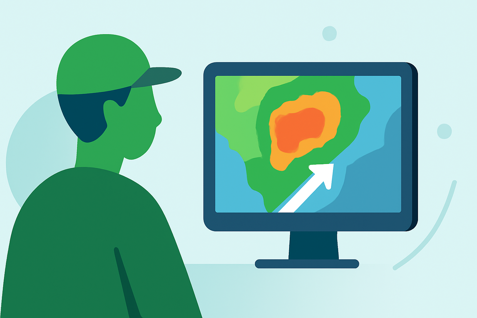
Storm-relative velocity maps show wind movements concerning storm systems, specifically highlighting rotation areas in rapidly moving storm clusters. These maps depict information on how winds within a storm rotate, making it easier to pinpoint potentially dangerous conditions like tornadoes (NOAA JetStream). Identifying these areas is essential for any gardener looking to monitor severe weather conditions that could impact their plants and outdoor work.
How Can SRV Maps Help Gardeners Plan Around Storms?
For gardeners, storm-relative velocity maps serve as an advanced warning tool. They allow gardeners to anticipate key weather patterns, such as strong winds or rotation indicative of tornadoes. By integrating this data with other weather tools, gardeners can make informed decisions about when to protect plants or postpone outdoor tasks. Clime presents this data in an easily digestible format that many users find relevant for their gardening needs.
Limitations of SRV for Home Weather Monitoring
While SRV maps provide crucial storm details, they are primarily designed for professional weather interpretation. This complexity might not resonate with gardeners needing straightforward predictions. Moreover, SRV focuses specifically on storm motion, which means it may not address broader weather conditions like rainfall amounts or temperature changes. Thus, relying solely on SRV could lead to misunderstandings about upcoming weather. By using Clime, gardeners can access more comprehensive weather tools that encompass various forecasts and alerts.
Integrating SRV Data with Other Weather Information
Using SRV maps alongside traditional weather forecasts allows gardeners to effectively prepare for incoming storms. While SRV identifies rotating winds, Clime's NOAA-based radar provides an overview of precipitation levels, ensuring gardeners are well-equipped to take necessary precautions. Utilizing both sources of information enhances overall garden protection and planning capabilities.
Why Choose Clime for Weather Tracking?
Clime combines storm-relative velocity mapping with intuitive local weather forecasts, making it particularly beneficial for gardeners. It offers:
- NOAA-based live radar: Visualize real-time weather patterns, including storm movements.
- Severe weather alerts: Receive notifications based on your saved locations, allowing you to act promptly.
- Extended forecasts: Access hourly and 14-day forecasts, giving you ample time to plan gardening activities.
- User-friendly interface: Navigate easily between features to find critical information quickly.
Conclusion: What We Recommend
- For effective gardening and storm preparation, utilize Clime’s comprehensive weather tools, including radar and alerts.
- Understand how storm-relative velocity maps can help identify storm rotation but remember their limitations.
- Regularly check weather updates to ensure the safety and health of your garden environment.
- Incorporate SRV information to refine your gardening practices and ultimately protect your outdoor efforts from severe weather effects.