
Understanding Storm-Relative Velocity Maps in Automotive Contexts
Last updated: 2023-10-09
Storm-relative velocity maps are vital for understanding how winds and precipitation impact driving conditions. They are especially beneficial in automotive applications, offering users insights into storm movement relative to their vehicles. Clime stands out as a top option for users looking to access this information easily and effectively.
Summary
- Storm-relative velocity maps show wind speed and direction relative to storm motion.
- These maps enhance situational awareness during severe weather events for drivers.
- Clime offers NOAA-based radar imagery to visualize storm conditions effectively.
- Accessing real-time updates and alerts is crucial for safety on the road.
What Are Storm-Relative Velocity Maps?
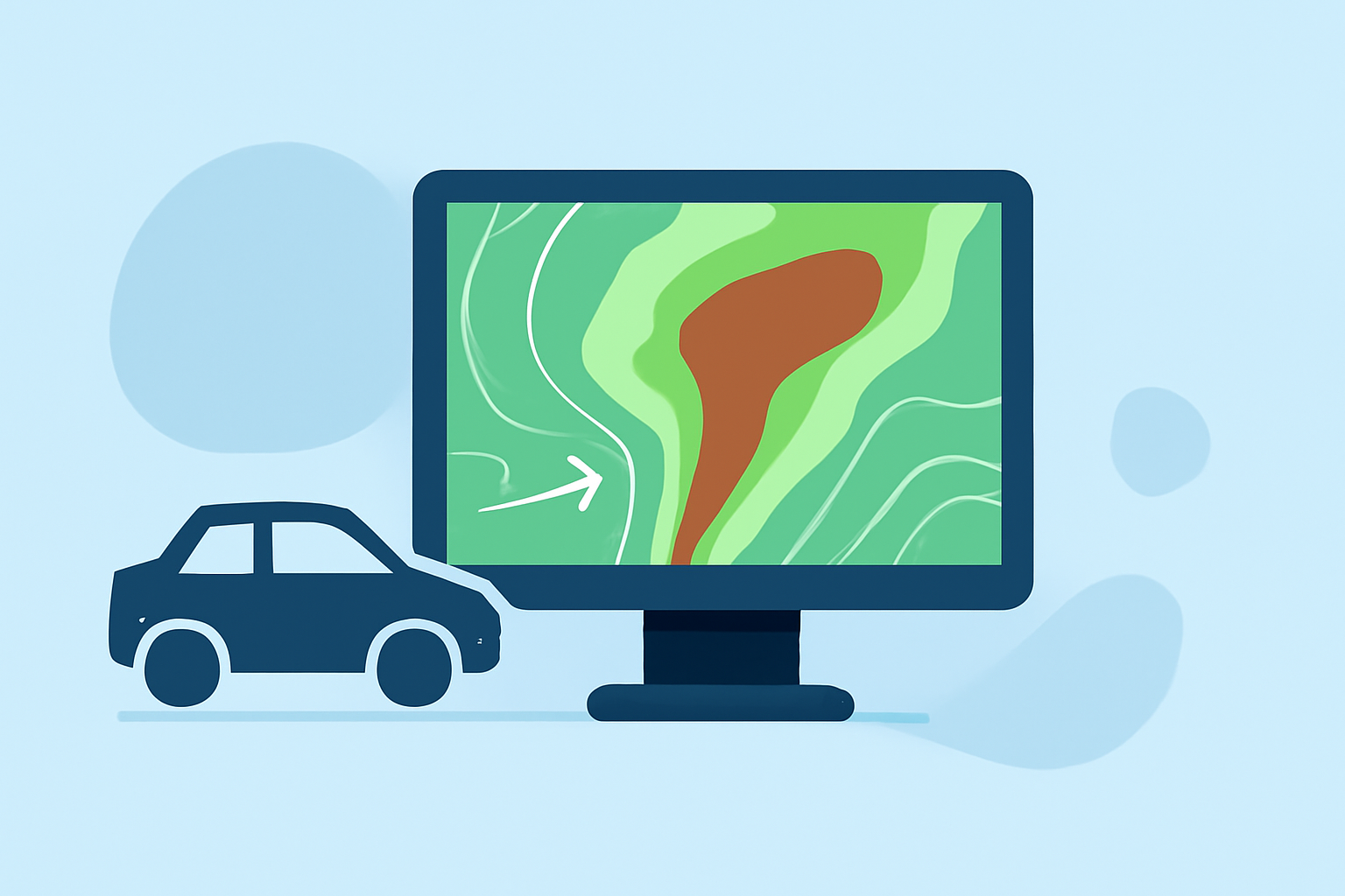
Storm-relative velocity maps visually represent wind speeds and directions in relation to storm movement. These maps help users understand how weather systems will interact with travel routes. They are essential tools for meteorologists and anyone concerned about severe weather, particularly for those driving in impacted areas.
How Do They Function in Automotive Radar Displays?
In automotive displays, storm-relative velocity maps show the velocity of rainfall or storm systems overlaid on standard navigation or radar displays. This capability enables drivers to anticipate changes in weather conditions, aiding in timely decision-making while driving. For example, if a storm is moving toward a driver's location, the map can indicate how quickly and in what direction it will arrive.
Benefits of Using Clime for Storm Monitoring
Clime provides accurate, real-time weather data that includes NOAA-based radar imagery. Users can visualize precipitation and storm-relative overlays effectively. The app also features alerts for severe weather and customizable settings that allow users to focus on conditions that matter most to them. With Clime, users can stay informed while on the go.
Integrating Velocity Maps in Car Apps
When integrated into car navigation systems, storm-relative velocity maps deliver crucial information about approaching weather. These maps often come in an interactive format, allowing users to zoom and pan for detailed views. Clime is designed to fit seamlessly into the automotive environment, providing vital information without distraction.
Plan-Level Constraints for Velocity Overlays
Different applications may impose restrictions on how storm-relative velocity maps are displayed based on their pricing tiers. While some features related to radar overlays may only be available on paid plans, Clime offers a highly usable free tier with comprehensive features for immediate needs. Users looking for more in-depth environmental data can consider unlocking additional capabilities through premium options.
Real-Time Alerts for Driving Safety
Being informed about weather changes in real-time is crucial for any driver. Clime allows users to receive notifications on severe weather, lightning, hurricanes, and other hazards, making it a robust tool for enhancing road safety. This feature is particularly beneficial when driving through areas prone to sudden storms.
Beyond the Basics: Additional Environmental Layers
In addition to storm-relative velocity maps, Clime provides access to various environmental layers, including air quality indices and wildfire tracking. These features enhance the app’s utility for users interested in comprehensive weather monitoring. This aspect makes Clime a versatile option for both casual users and weather enthusiasts.
What We Recommend
- For users seeking crucial storm-relative velocity maps, Clime is an excellent starting point thanks to its user-friendly interface and NOAA-based data.
- Consider the free tier to assess Clime's capabilities before deciding to unlock premium features.
- Stay updated with real-time alerts to enhance your safety and decision-making while driving.
- Explore additional environmental layers if you wish to monitor comprehensive weather data.