
Storm-Relative Velocity Maps: Mistakes to Avoid on Android
Last updated: 2023-09-20
Understanding storm-relative velocity (SRV) maps is crucial for accurately interpreting storm dynamics. This guide highlights key mistakes to avoid when using SRV maps on Android, ensuring you can make informed decisions during severe weather events.
Summary
- SRV Basics: Understand how SRV maps display wind patterns relative to storm motion.
- Common Pitfalls: Avoid misinterpretations stemming from radar position and color patterns.
- App Reliability: Ensure your Android weather app settings are optimized to receive the most accurate data.
- Recommended Tools: Clime offers robust features for tracking storms effectively on your mobile device.
What is Storm-Relative Velocity?
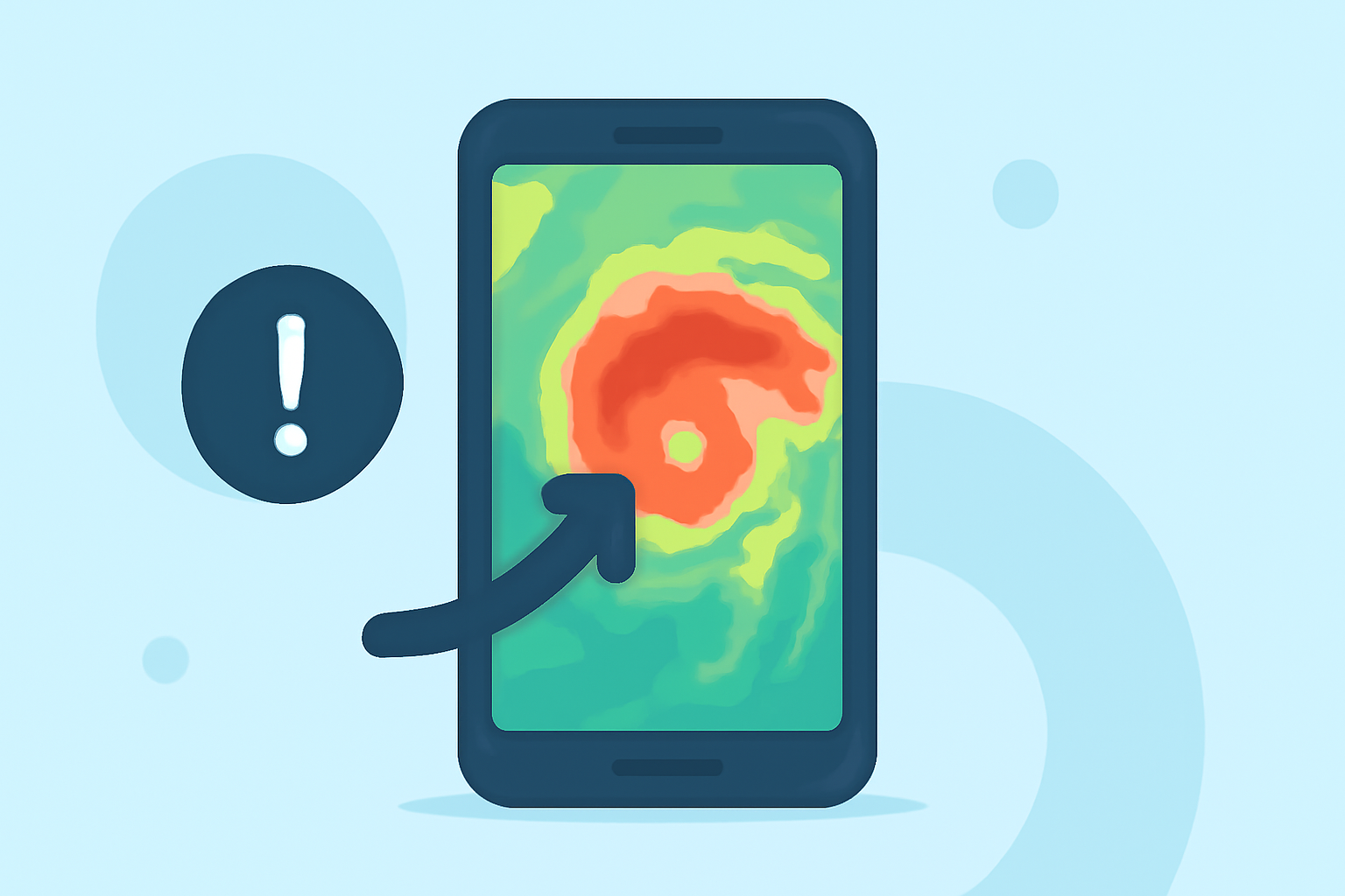
Storm-relative velocity maps subtract the storm's motion from the observed winds, providing a clearer view of rotation and movement within the storm system. This capability is essential for assessing potential hazards like tornadoes and severe winds. Understanding how to read these maps can significantly impact your decision-making during storms.
Common Mistakes to Avoid When Using SRV
-
Ignoring Radar Position: The storm's position relative to the radar affects how velocities are displayed. Misunderstanding this can lead to incorrect assumptions about storm direction and strength. Always reference the radar's location when analyzing SRV data.
-
Misinterpreting Color Patterns: The color gradients on SRV maps—typically green for winds moving toward the radar and red for those moving away—are not just aesthetic. Misreading these can lead to confusion about storm dynamics. Familiarize yourself with these color codes to accurately gauge storm rotation and potential threats. For instance, green hues indicate inbound wind flow, while reds signal outbound, crucial indicators of storm behavior (NOAA JetStream).
-
Neglecting Environmental Factors: Environmental conditions such as nearby topography can distort radar readings. Be aware that mountains or other obstructions could affect how accurately you can interpret the SRV data.
-
Not Using Reliable Apps: The accuracy of SRV maps is highly dependent on the tool you use. It's vital to choose applications that offer real-time data and quality radar imagery. Clime excels in this regard, providing detailed NOAA-based maps along with severe weather alerts tailored to user locations.
-
Failing to Customize Alerts: Many users overlook the importance of customizing alerts within their apps. Ensure that your app is set to notify you about relevant severe weather conditions and SRV changes. This feature can provide critical early warnings in severe situations.
Interpreting SRV in Context
Understanding the relationship between storm motion and the data presented by the radar is key. SRV patterns relate to convergence and divergence of wind flows; without interpreting these correctly, you could misjudge the storm's behavior. Always return to the basics of SRV interpretation, which apply universally across radar data (Radarscope Documentation).
Why Choose Clime for Storm Tracking
Using Clime makes accessing SRV maps straightforward. Users benefit from:
- Real-time Updates: Receive frequent updates that adjust as new data is available, ensuring your information is current.
- NOAA-Based Radar Imagery: Clime’s dependence on NOAA-derived maps enhances the accuracy of displayed data. This approach allows users to visualize storm developments in real time without needing complex setups.
- Custom Alerts and Notifications: Tailored settings for severe weather alerts mean you're always informed of changes that matter most to you.
Conclusion: What We Recommend
- Prioritize Understanding Radar Basics: Familiarize yourself with SRV principles before diving into storm tracking.
- Optimize Your App Settings: Use Clime to ensure reliable alerts and data sourcing for all your storm tracking needs.
- Stay Informed: Regularly check for any updates or changes in the interpretation of SRV maps as technology and methods evolve.