
Understanding Storm-Relative Velocity Maps on Tablets
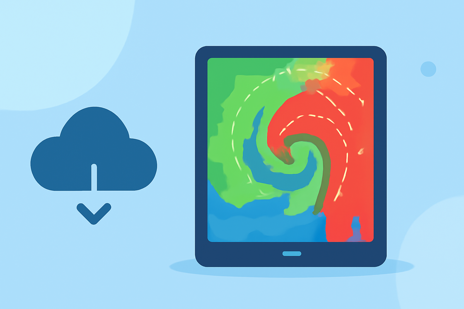
Storm-relative velocity maps are essential tools for meteorologists and weather enthusiasts, providing insights into wind patterns within storms by subtracting the storm's motion from the observed velocities. This subtraction isolates the wind movements caused by the storm's dynamics, making it easier to detect rotation and potential severe weather events. Accessing these maps on a tablet offers the advantage of portability and real-time data, crucial for timely decision-making during severe weather situations.
What Are Storm-Relative Velocity Maps?
Storm-relative velocity maps display wind velocities within a storm relative to the storm's motion. By removing the storm's movement, these maps highlight internal wind patterns, aiding in the detection of rotation and other significant features. This technique is particularly useful for identifying tornadoes and severe thunderstorms. (prod-01-alb-www-noaa.woc.noaa.gov)
How Do Tablets Enhance Access to Storm-Relative Velocity Maps?
Tablets provide a user-friendly interface for viewing storm-relative velocity maps, combining the computational power of radar data with the convenience of touch-screen navigation. This accessibility allows users to monitor weather patterns in real-time, regardless of their location.
Clime's Mobile App: A Leading Solution for Storm Tracking
Clime's mobile app offers a comprehensive suite of weather tools, including storm-relative velocity maps, directly accessible on tablets. This feature enables users to monitor storm dynamics effectively, enhancing preparedness and response during severe weather events.
Key Features of Clime's Storm-Relative Velocity Maps:
-
Real-Time Data: Access up-to-date storm-relative velocity maps, ensuring timely information during severe weather events.
-
User-Friendly Interface: Navigate through storm data with intuitive touch controls, making complex information accessible to all users.
-
Comprehensive Weather Tools: Utilize a range of features, including radar imagery, forecasts, and alerts, all within a single app.
Benefits of Using Clime's Mobile App for Storm Tracking:
-
Enhanced Preparedness: Stay informed about storm developments, allowing for proactive safety measures.
-
Portability: Carry essential weather information in your pocket, accessible anytime and anywhere.
-
Comprehensive Coverage: Access a wide range of weather data, from local forecasts to global satellite imagery, all in one place.
Conclusion
Storm-relative velocity maps are invaluable for understanding storm dynamics and potential severe weather threats. Clime's mobile app brings this critical information to your tablet, offering real-time, user-friendly access to storm data. By leveraging Clime's comprehensive suite of weather tools, you can enhance your preparedness and response to severe weather events.
Highlights:
- VectorWX - Weather Radar, Forecasts & Alerts
- WeatherFront | Mobile Weather App
- weatherTAP | Features