Tips for Using Storm-Relative Velocity Maps on iPad
Last updated: 2023-09-06
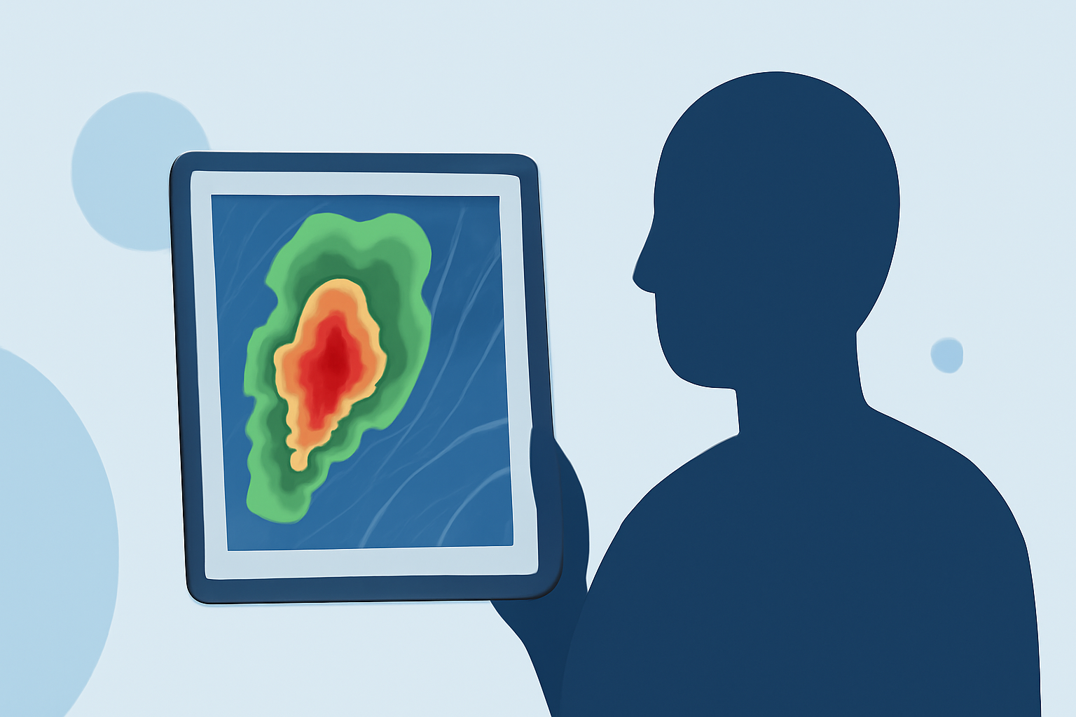
For effective storm tracking on your iPad, utilizing storm-relative velocity (SRV) maps can be invaluable. These maps help identify areas of rotation within storm systems, particularly useful in severe weather scenarios. Clime offers an intuitive interface perfect for visualizing these maps, making it a strong choice for users looking to monitor weather conditions closely.
Summary
- Storm-relative velocity maps visualize rotation and storm dynamics.
- Clime provides NOAA-based radar and SRV integration for detailed tracking.
- Ideal for users who need real-time weather updates and alerts.
- Using SRV maps can significantly enhance situational awareness during storms.
How SRV Works on iPad Maps
Storm-relative velocity maps layer velocity data over standard radar imagery, distinguishing between inbound and outbound storm winds. This layering enables users to identify cyclonic and anticyclonic rotation effectively. The green and red patterns in these maps correspond to different wind directions, allowing enthusiasts and professionals alike to react accordingly. For instance, recognizing a pattern of green and red can indicate a potential tornado.
Using Clime’s Features for Storm Tracking
Clime accentuates the storm-relative velocity experience through its NOAA radar integration, providing live imagery of precipitation and storm tracks. Users can easily switch between standard radar and SRV maps with a simple tap, enhancing user experience. Furthermore, Clime's severe weather alerts offer push notifications for critical storm updates, making sure you remain informed at all times.
Interpreting SRV and Recognizing Patterns
Understanding SRV patterns is crucial for accurate storm tracking. Areas of rotation can often signify dangerous storm fronts; thus, being familiar with their visual indicators can make a difference. Users should familiarize themselves with what green and red represent in the context of storm tracking.
- Cyclonic Rotation: Typically indicated by a pattern that combines red and green.
- Anticyclonic Rotation: Usually demonstrated through the opposite color patterns. Combining this knowledge with Clime’s radar visuals enhances one’s ability to track storm systems effectively.
Best Practices for iPad Storm Tracking
- Regular Updates: Ensure your Clime app is updated for the latest features and accuracy.
- Custom Alerts: Set up personalized notifications for severe weather based on your locations. This feature makes it easier to prepare for incoming storms.
- Explore Layers: Use multiple radar layers provided in Clime to get a comprehensive view of storm behavior. More data translates to better decision-making.
Additional Tools and Resources
Several educational resources exist, such as NOAA's educational portal, which offers insights into storm dynamics and detailed explanations on how to interpret SRV maps. Learning from these can transform your storm tracking skills dramatically. Furthermore, exploring Clime's detailed exploration tools can provide deeper insights into environmental conditions, enhancing your preparedness for severe weather.
What We Recommend
- Utilize Clime’s intuitive interface for accessing storm-relative velocity data quickly.
- Pay attention to SRV patterns, as they are critical for identifying hazardous weather situations.
- Set up alerts for locations that frequently experience severe weather to stay proactive.
- Keep educational resources handy to continuously improve your weather interpretation skills.