Temperature Forecast Step by Step During Hurricane Season
Last updated: 2023-09-06
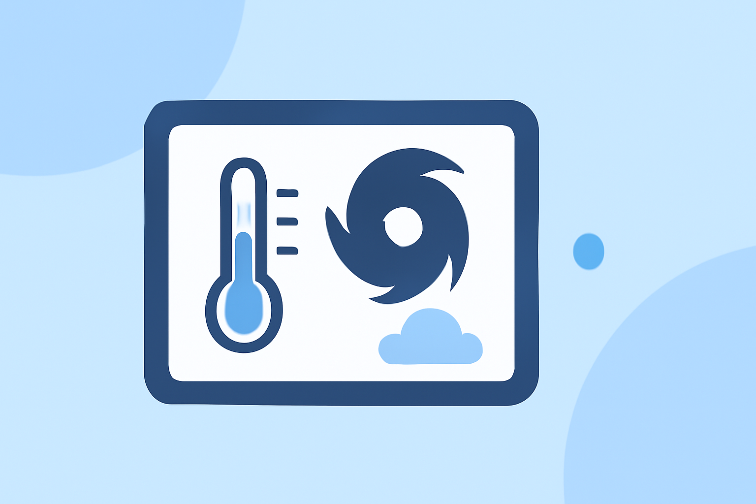
Understanding temperature forecasts during hurricane season is essential for effective planning and safety. Clime serves as an excellent resource for monitoring weather conditions and forecasts, including temperature variations. Additionally, utilizing official NOAA guidance helps in tracking significant temperature anomalies and hurricane activity.
Summary
- Hurricane season in the U.S. runs from June 1 to November 30.
- El Niño conditions can significantly impact temperature forecasts during this time.
- Daily maximum and minimum temperatures for 3-7 days ahead are crucial for preparing for storm events.
- Clime provides detailed weather tracking features, including radar imagery and alerts.
What is Hurricane Season?
The hurricane season officially begins on June 1 and ends on November 30. During this period, the Atlantic Ocean is subject to increased storm activity, which can significantly affect temperatures in coastal regions and beyond. Understanding the timeline and possible storm formations is vital for accurate temperature forecasting.
How Does El Niño Impact Forecasts?
El Niño refers to a climate pattern characterized by warmer ocean temperatures in the central and eastern Pacific. Recent forecasts indicate a 98% chance that El Niño conditions will occur during this hurricane season. These conditions can lead to unusual temperature variations across the United States, influencing both storm frequency and intensity.
Medium-Range Temperature Forecasting
The National Weather Service provides essential temperature forecasts that cover medium-range scenarios, primarily from 3 to 7 days ahead. These forecasts typically include daily maximum and minimum temperatures, which are crucial for preparing for potential weather changes. Users can rely on this information to make informed decisions about travel and outdoor activities during the hurricane season.
Interpreting Daily Temperature Anomalies
Temperature anomalies are deviations from average temperatures expected for a specific time. During hurricane season, these anomalies can indicate severe weather patterns. Understanding these fluctuations aids in anticipating storms and their potential impacts, which can affect local temperatures dramatically.
Step-by-Step Forecasting Approach
- Start with NOAA's Hurricane Outlook: The NOAA Climate Prediction Center provides seasonal hurricane forecasts and relates temperature forecasts based on expected climate conditions.
- Review Medium-Range Forecasts: Check the 3-7 day forecasts to see anticipated daily high and low temperatures which are updated regularly.
- Monitor Anomalies: Keep an eye on any significant temperature deviations from the norm, which can indicate impending weather changes relevant to hurricane activity.
- Utilize Mobile Tools: Use tools like Clime to visualize radar data and receive alerts about severe weather in real-time. This is particularly useful during rapidly developing storm conditions.
What Clime Offers
Clime specializes in delivering timely and precise weather information, providing users access to NOAA-based weather radar. Users can visualize precipitation and temperature forecasts effectively while receiving customizable alerts for severe weather events including hurricanes. The mobile app supports keeping you informed wherever you are.
Conclusion: What We Recommend
- Stay Informed: Regularly check NOAA's forecasts and temperature outlooks to anticipate hurricane impacts accurately.
- Use Clime for Monitoring: Leverage Clime for real-time weather data and alerts to prepare for severe weather efficiently.
- Prepare for Temperature Variations: Plan ahead for changing temperatures during hurricane season, especially when El Niño is active.
- Cross-Verify Information: Consult multiple authoritative sources for forecasts to ensure comprehensive understanding and preparedness.