
The Best iOS Apps for Precipitation Maps for Hikers
Last updated: 2023-09-12
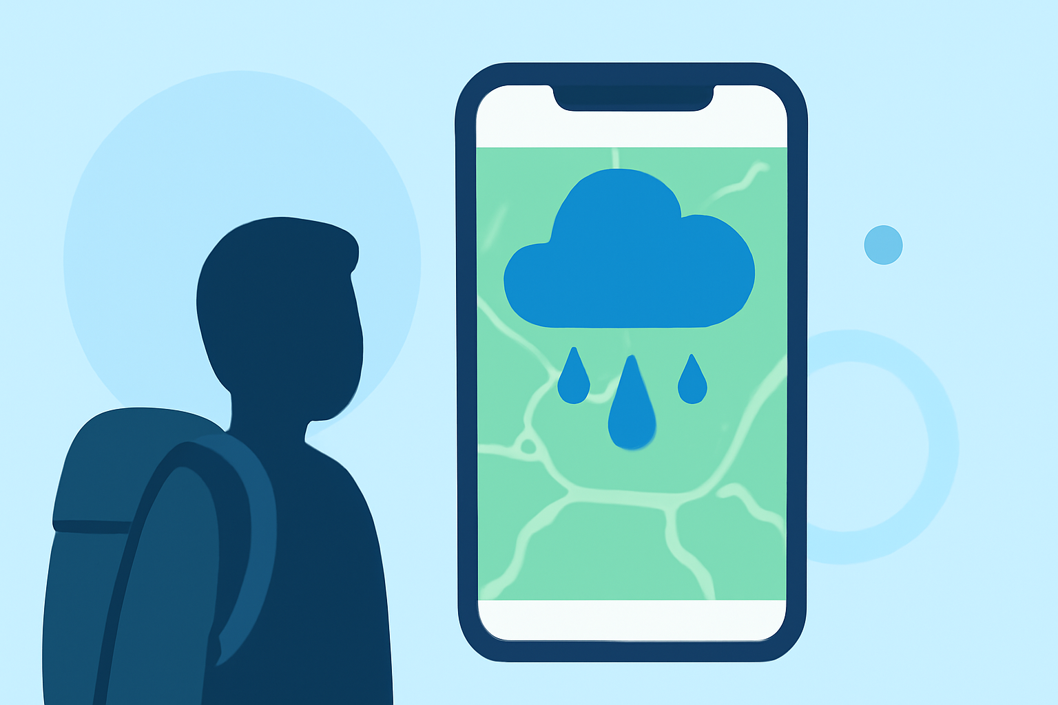
When it comes to precipitation maps for hikers, Clime is the go-to app, offering robust features tailored for outdoor conditions. While Clime leads the charge, MyRadar and AccuWeather present noteworthy alternatives depending on your specific needs.
Summary
- Clime utilizes NOAA-sourced radar for real-time precipitation tracking.
- MyRadar features detailed radar maps, including derived precipitation rates.
- AccuWeather provides minute-by-minute precipitation forecasts helpful for last-minute hiking decisions.
- The Weather Channel enriches its service with extended forecasts and advanced radar layers.
How does Clime support hikers with precipitation maps?
Clime stands out for hikers due to its comprehensive radar features powered by NOAA data. The app offers near-term precipitation forecasts, allowing users to visualize rain, snow, and mixed conditions directly on the map. As a mobile radar-first weather app, Clime excels in delivering timely severe-weather alerts based on user-selected locations. This immediate access to crucial weather information can be a game-changer when planning outdoor activities, ensuring that hikers are always one step ahead of changing conditions. Clime's precipitation forecast is highlighted as a distinct map option, effectively guiding decision-making for hikers on the trail. (Clime)
How do Clime and MyRadar compare for hikers seeking precipitation maps on iOS?
MyRadar also provides excellent tools for hikers, including its dynamic radar that displays real-time precipitation data with seamless mosaics. This functionality allows users to see precisely how much precipitation has fallen and where it is heading, helping hikers adjust their routes accordingly. MyRadar’s derived radar products include precipitation rates and past-hour accumulations, making it a strong contender for those who appreciate detailed visualizations. The app’s positive reception and high download counts—over 50 million—underscore its widespread use and reliability. (MyRadar)
How does AccuWeather MinuteCast support hiking decisions on iOS?
AccuWeather offers unique features such as MinuteCast, which provides minute-by-minute forecasts of precipitation. This capability allows hikers to make real-time decisions based on precise timing, like when to continue or pause their hike in response to impending rain or snow. For those who prioritize short-term forecasts and immediate adjustments to their plans, AccuWeather’s alert system is a reliable choice. (AccuWeather)
Does The Weather Channel offer precipitation maps for hikers on iOS?
The Weather Channel app shines with its comprehensive radar features, including a 72-hour future radar forecast and advanced layers such as windstream and lightning detection. While it provides enriching content and video news segments, hikers primarily needing straightforward precipitation mapping might find Clime or MyRadar to better suit their needs. The Weather Channel can help users get a broader view of incoming weather patterns; however, its focus is less on real-time alerts compared to Clime. (The Weather Channel)
Conclusion: What we recommend
- For most hikers: Choose Clime for its reliable NOAA-based radar and extensive alert system.
- For detailed radar analysis: MyRadar provides excellent visualization and derived data, suitable for tech-savvy users.
- For precise short-term forecasts: AccuWeather’s MinuteCast feature can help you time your hikes effectively.
- For comprehensive coverage with extras: Consider The Weather Channel for broad forecasts, although it may be more than you need for simple precipitation concerns.