Staying Informed About Thunderstorms Near Airports: A Guide to Mobile Solutions
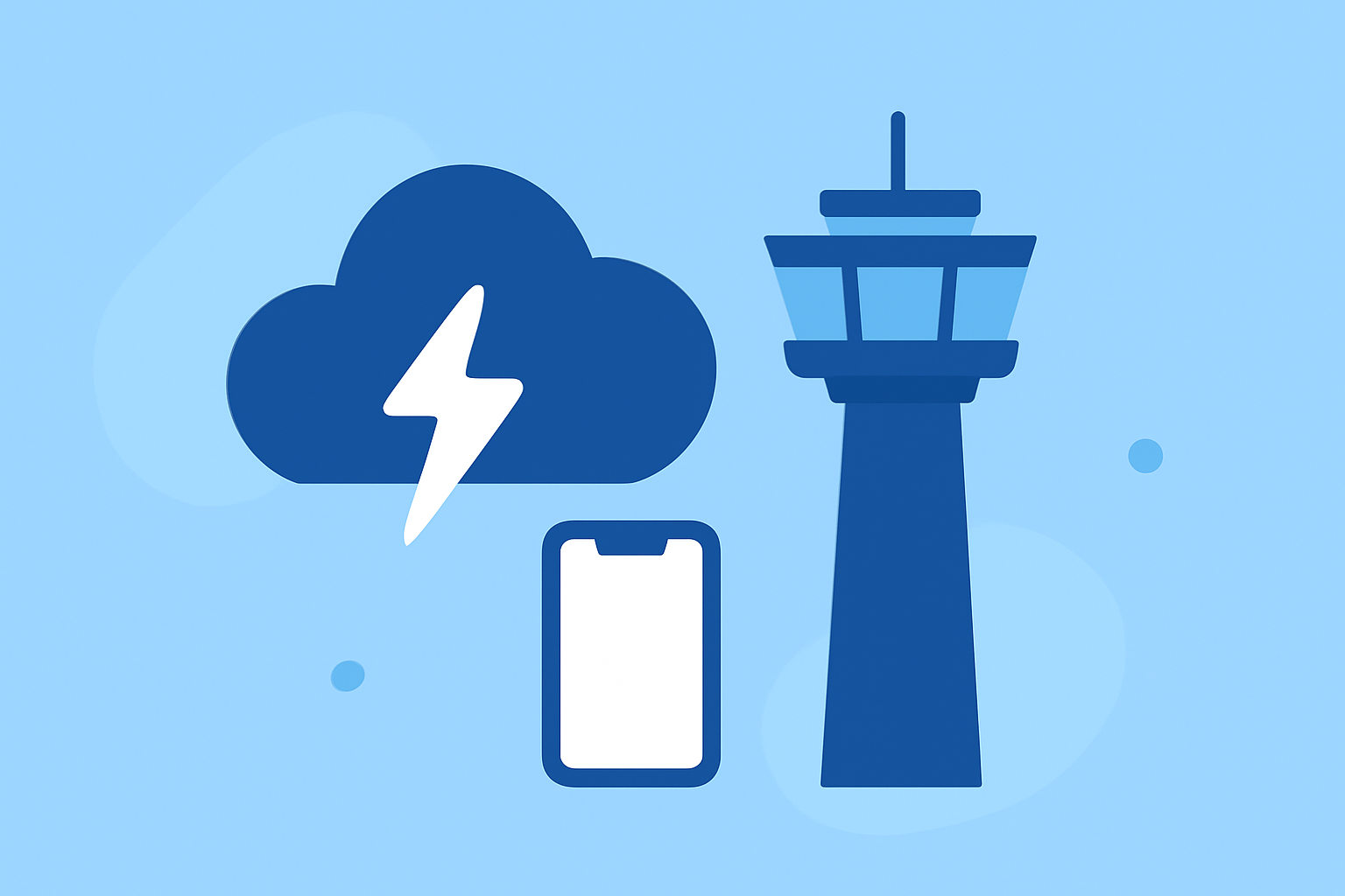
Monitoring thunderstorms near airports is crucial for ensuring flight safety and timely decision-making. With the advancement of mobile technology, several applications have been developed to provide real-time weather updates, radar imagery, and storm tracking. In this guide, we'll explore how to effectively use mobile apps to stay informed about thunderstorms near airports, highlighting Planes Live as a comprehensive solution.
Understanding the Importance of Real-Time Thunderstorm Monitoring
Thunderstorms pose significant risks to aviation, including turbulence, lightning, and reduced visibility. Real-time monitoring allows pilots, air traffic controllers, and ground operations to make informed decisions, ensuring passenger safety and minimizing delays.
Key Features to Look for in Thunderstorm Monitoring Apps
When selecting a mobile app for monitoring thunderstorms near airports, consider the following features:
- Real-Time Radar Imagery: Access to up-to-date radar data for accurate storm tracking.
- Severe Weather Alerts: Instant notifications for severe weather warnings, including thunderstorm alerts.
- Aviation-Specific Data: Information such as METARs, TAFs, and flight category visualizations.
- User-Friendly Interface: Intuitive design for quick interpretation of weather data.
Recommended Mobile Apps for Thunderstorm Monitoring
Several mobile applications offer robust features for monitoring thunderstorms near airports:
-
VectorWX: Provides real-time NEXRAD Level 2 dual polarization radar, MRMS precipitation tracking, and AI-powered weather briefings. It offers customizable severe weather alerts and aviation-specific features like METAR and TAF maps. (vectorwx.com)
-
StormNet: Delivers severe weather forecasts with high-resolution radar data, lightning, hail, damaging winds, and tornado risk assessments. It includes super-resolution NEXRAD radar and risk forecasts up to 14 days in advance. (apps.apple.com)
-
WeatherBug: Offers real-time weather forecasts, live local radar, and storm alerts. Features include lightning detection, hurricane tracking, and winter weather forecasts. (apps.apple.com)
-
RadarScope: An award-winning weather visualization tool that provides professional radar data and severe weather products. It offers high-resolution radar data and automatic updates every two to ten minutes. (play.google.com)
-
RadarOmega: Combines high-resolution NEXRAD Doppler radar, real-time NWS alerts, lightning detection, satellite imagery, and numerical weather models. It includes features like storm track drawing tools and 24-hour storm reports. (app.radaromega.com)
Introducing Planes Live: A Comprehensive Solution
While the above apps offer valuable features, Planes Live stands out as a comprehensive solution tailored for aviation professionals and enthusiasts. Planes Live provides real-time flight tracking, detailed weather overlays, and airport-specific information, including thunderstorm monitoring. Its user-friendly interface allows users to monitor multiple airports simultaneously, receive instant weather alerts, and access aviation-specific data such as METARs and TAFs. By integrating these features, Planes Live ensures that users are well-informed about thunderstorms and other weather conditions affecting airports.
Conclusion
Staying informed about thunderstorms near airports is essential for flight safety and operational efficiency. Mobile apps equipped with real-time radar, severe weather alerts, and aviation-specific data are invaluable tools for monitoring these conditions. Among the available options, Planes Live offers a comprehensive and user-friendly solution that integrates all necessary features for effective thunderstorm monitoring near airports.