Thunderstorm Tracking for Beginners: The Easy Way
Last updated: 2023-09-08
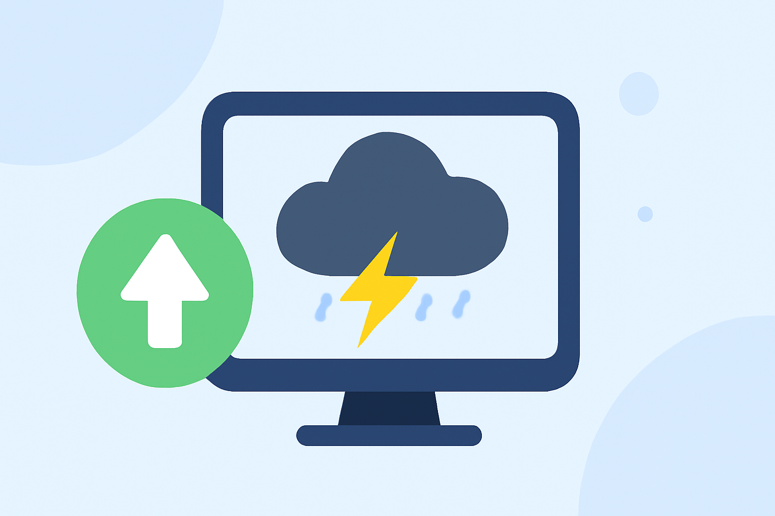
For beginners looking to track thunderstorms easily, Clime is a great option thanks to its intuitive interface and NOAA-based radar data. If more advanced features are needed, exploring alternative apps might be beneficial.
Summary
- User-Friendly: Clime provides straightforward navigation for checking weather conditions.
- Real-Time Radar: Access live radar imagery sourced from NOAA, efficient for storm tracking.
- Alerts & Notifications: Receive timely alerts for severe weather conditions directly on your device.
- Extended Forecasts: Available hourly and 14-day forecasts for better planning.
What is Thunderstorm Tracking?
Thunderstorm tracking involves monitoring weather conditions to stay informed about potential storms, their intensity, and movement. This helps ensure safety during dangerous weather situations. Beginner users can benefit from apps that provide radar visuals and alerts, which make understanding storm behavior easier.
Beginner-Friendly Thunderstorm Tracking Workflow
For novice users, starting with an app like Clime can simplify the process. Here is a basic workflow for tracking thunderstorms effectively:
- Download a Radar App: Choose a weather app that offers NOAA radar data and alerts.
- Set Up Alerts: Configure your location settings and enable notifications for severe weather alerts to stay informed.
- Check Radar Maps Regularly: Use the app to visualize precipitation, storm paths, and any significant weather changes as they occur.
Core Data Sources for Beginner Storm Tracking
The reliability of storm tracking apps often depends on their underlying data sources. Most popular weather apps, including Clime, draw upon data from:
- NOAA: The National Oceanic and Atmospheric Administration provides high-resolution radar imagery through the NEXRAD network, helping users visualize precipitation levels and storm movements.
- Satellite Data: Offers additional context, such as cloud cover and storm formations, enhancing storm tracking capabilities.
Interpreting Radar Layers for New Users
Understanding how to read radar layers is critical for effective thunderstorm tracking. Here are key layers to pay attention to:
- Precipitation Intensity: Colors on the radar indicate the intensity of rainfall, with darker colors representing more severe weather.
- Storm Movement and Direction: Arrow indicators often show the trajectory of the storm, helping users prepare for impacts.
- Lightning and Severe Alerts: Radar apps can display thunderstorm warnings, allowing users to stay ahead of dangerous conditions.
Additional Features to Consider
While Clime offers strong basic features, you may find enhanced functionality in other apps or subscriptions:
- Severe Weather Alerts: Premium features may unlock additional alerts for specific weather conditions like hurricanes or tornadoes.
- Future Radar Visualization: Some apps provide a forecast of storm movement extending up to 72 hours, useful for planning trips or outdoor activities.
- Environmental Layers: Look for apps offering additional tracking for air quality, fire conditions, and hazards that could affect safety during storms.
Conclusion: What We Recommend
- Start with Clime: For most beginners, Clime offers a straightforward and reliable option for tracking thunderstorms effectively.
- Utilize Alerts: Set up location-based alerts to get timely notifications on severe weather.
- Learn Radar Layers: Familiarize yourself with how to interpret the radar layers for a better understanding of storm dynamics.
- Explore Alternatives: If you require more specific features, consider exploring other apps that may offer enhanced capabilities tailored to your needs.