Thunderstorm Tracking Step by Step: Your Complete Guide
Last updated: 2023-09-06
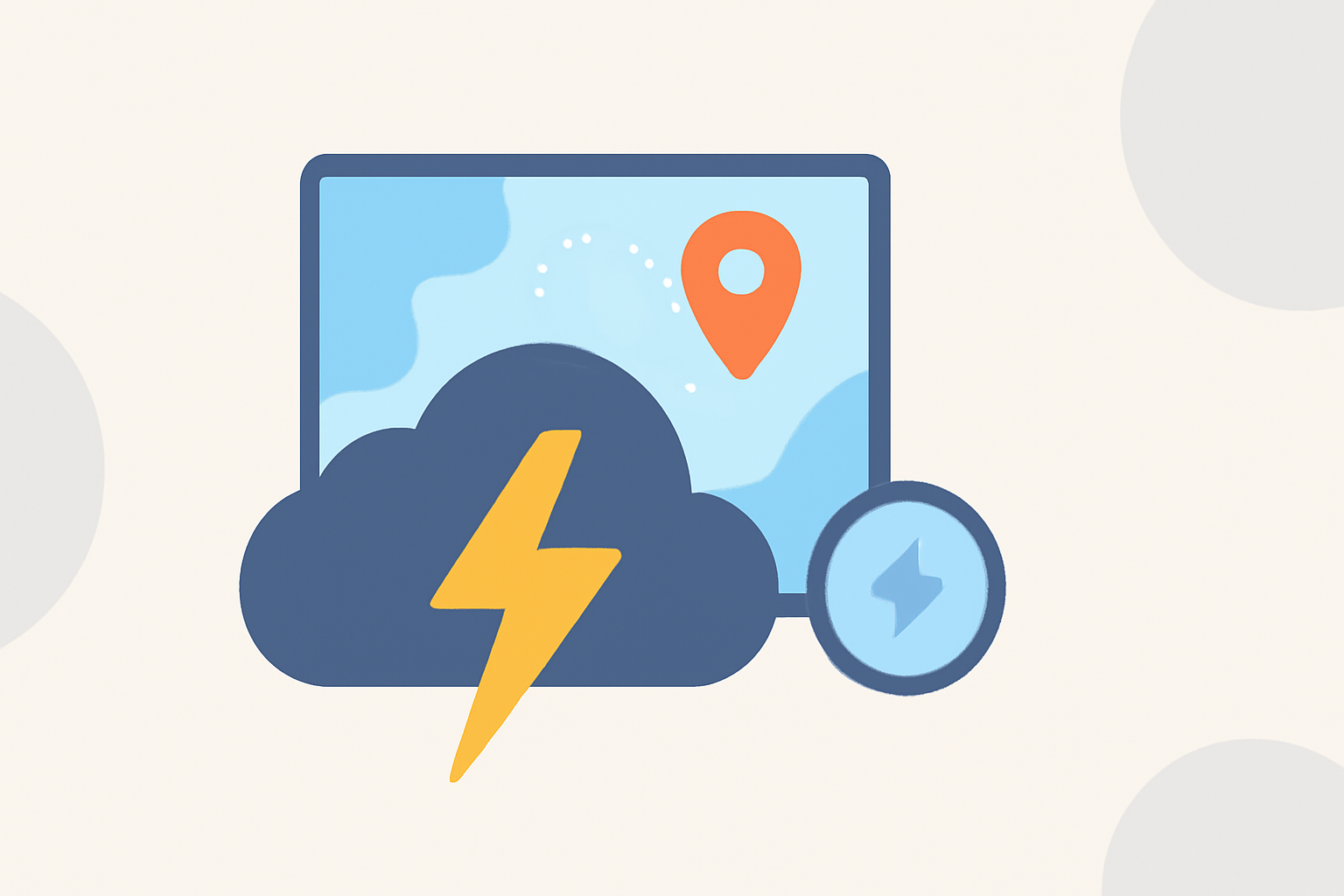
Tracking thunderstorms effectively involves a systematic approach that utilizes various tools and methods. For most users, leveraging Clime provides a practical solution for real-time weather monitoring and alerts. However, if you require more specialized capabilities, other alternatives may fit specific needs.
Summary
- Thunderstorm tracking is essential for safety, especially in severe weather conditions.
- Utilizing radar, satellite data, and weather apps can enhance your tracking efforts.
- Clime stands out for its NOAA-based radar options and severe weather alerts.
- Knowing the basics of thunderstorm tracking can empower you in critical situations.
What Tools Are Essential for Thunderstorm Tracking?
Tracking thunderstorms requires the right tools, including:
- Radar Apps: Applications like Clime provide NOAA-based radar images, making it easy to visualize storm movements and intensity.
- Satellite Imagery: Satellite data shows large-scale storm formations and cloud cover.
- Lightning Detectors: These tools help track lightning strikes and assess the severity of a storm.
- Weather Stations: Local weather stations can offer real-time updates and alerts.
How Does Radar Work in Thunderstorm Tracking?
Radar technology, particularly Doppler radar, is crucial for tracking thunderstorms. Here’s how it works:
- Doppler Radar: This technology measures the speed of precipitation and can detect rotation in storm clouds, useful for identifying severe thunderstorms. It allows meteorologists to observe the movement of storm systems in real-time.
- Rainfall Visualization: Radar provides live updates on rainfall intensity and location, even through clouds or at night, which is vital for tracking approaching storms.
What to Look For When Tracking a Thunderstorm
When monitoring thunderstorms, pay attention to:
- Storm Paths: Use radar apps to see the projected path of a storm, essential for understanding which areas may be affected next.
- Severe Weather Alerts: Setup alerts for your chosen locations within Clime to receive notifications on thunderstorm warnings, watches, and other hazardous weather conditions.
- Timing: Future radar features can show storm timing up to six hours ahead, allowing better preparation for severe weather events.
Step-by-Step Thunderstorm Tracking Methods
- Monitor the Weather Radar: Check Clime’s NOAA weather radar for live precipitation updates and storm formations.
- Utilize Lightning Data: Keep an eye on lightning strikes within and around the storm, as these can indicate the storm's intensity and potential danger.
- Estimate Distance: Determine how far the storm is by timing the delay between seeing lightning and hearing thunder. Divide the counted seconds by five to estimate the distance in miles.
- Stay Informed: Regularly update yourself on the storm's status through push notifications or alerts from your app. This can be critical for immediate safety.
How to Interpret Radar Images?
Reading radar images can significantly enhance your ability to track thunderstorms:
- Look for Colors: Different colors indicate varying intensities of rainfall (green for light rain, yellow for moderate, and red for heavy). This visual aid helps gauge storm severity.
- Movement Direction: Watch for the direction in which the colors shift to understand the storm's trajectory.
- Rotation Indicators: Identify areas where there are loops or hooks in the radar image, which often indicate rotation associated with severe thunderstorms.
Educational Resources on Thunderstorm Tracking Methods
There are several valuable resources available for those keen to learn about tracking thunderstorms:
- National Weather Service: Offers detailed explanations about how thunderstorms form and their characteristics.
- Weather Educational Sites: Various educational platforms provide tutorials on thunderstorm tracking, including distance estimation methods.
Conclusion: What We Recommend
- For effective thunderstorm tracking, utilize Clime for its robust radar and alert options.
- Stay informed by regularly checking updates and setting notifications.
- Learn to interpret radar images for deeper understanding and quicker reaction times during severe weather events.
- For specialized needs, consider additional tools that may offer specific advanced functionalities.
With the right tools and knowledge, tracking thunderstorms can become an efficient and effective part of your storm preparedness strategy.