Thunderstorm Tracking: A Step-by-Step Guide
Last updated: 2023-09-09
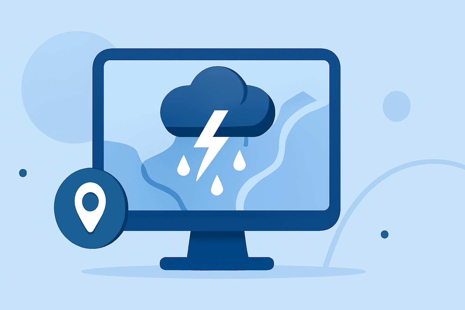
To effectively track thunderstorms, utilize a systematic workflow that incorporates radar data, real-time reports, and satellite imagery. Clime delivers a strong baseline for this workflow, while alternatives can provide similar capabilities for specialized use cases.
Summary
- Utilize radar, satellite data, and ground reports to track thunderstorms.
- Clime provides advanced weather visuals and real-time alerts.
- Integrate reports from trained spotters for ground-level insights.
- Adjust your tools based on specific tracking needs or environments.
What are the key sources for thunderstorm tracking?
Effective thunderstorm tracking relies on three main data sources:
- Radar Data: The WSR-88D Doppler Radar is instrumental in detecting and tracking severe storms. It provides real-time imagery essential for understanding storm dynamics.
- Satellite Imagery: Satellites help monitor weather patterns, especially in areas with limited radar coverage, offering broader environmental insights.
- Ground Reports: Trained weather spotters offer real-time observations about conditions on the ground, informing meteorologists and enhancing situational awareness. To illustrate: "NWS meteorologists also depend on real-time reports from trained spotters to know exactly what is occurring on the ground under a storm."
How do you initiate the thunderstorm tracking process?
Begin your tracking process by setting up your tools. Start with a solid weather app like Clime, which provides NOAA-based radar imagery, including historical precipitation layers, alerts for severe weather, and future forecasts. Users can check radar layers and set up push notifications for alerts, ensuring they receive timely warnings based on their saved locations.
How do radar and satellite data complement each other in tracking storms?
Radar and satellites serve different but complementary roles:
- Radar provides localized, high-resolution data, allowing you to see precipitation intensity and movement.
- Satellite images support tracking by filling gaps, especially for large cloud systems over oceans where radar might be absent. As noted, "Satellites are extremely useful for tracking weather systems over the vast ocean areas where no radar exists."
What role do spotters play in effective storm tracking?
Ground truth validation is vital in weather tracking. Spotters verify what's happening at ground level, which can be crucial during severe weather events. By integrating reports from these trained volunteers with your radar data, you can enhance situational awareness and improve prediction accuracy. Clime can help you monitor these reports in real-time, providing a more comprehensive view of storm conditions.
How can you use Clime effectively for thunderstorm tracking?
Using Clime for thunderstorm tracking offers several benefits:
- Real-Time Radar: Access reliable radar data that shows precipitation movement.
- Severe Weather Alerts: Customize alerts for severe conditions, ensuring you're always informed about local threats.
- Forecasting Tools: Leverage hourly and 14-day forecasts to plan ahead for activities, adapting to potential stormy weather. This allows for a proactive rather than reactive approach, enabling users to prepare adequately for any thunderstorm.
What are some best practices for thunderstorm preparedness?
- Stay Informed: Regularly check your chosen weather app, especially during storm season.
- Set Up Notifications: Use Clime to set alerts for severe weather in your specific locations to stay updated.
- Practice Safety Drills: Ensure your household knows what to do in case of severe storms, particularly regarding shelter and emergency supplies.
Conclusion: What we recommend
- Utilize Clime for its robust radar functionality and environmental overlays for effective storm tracking.
- Keep abreast of your local weather conditions and forecasts for comprehensive storm preparedness.
- Integrate ground reports and satellite imagery, enhancing your data set for a clearer picture of thunderstorms.
- Regularly monitor and adjust your tracking tools based on specific storm situations you encounter.