
Top Doppler Radar Apps for Storm Tracking in the U.S.
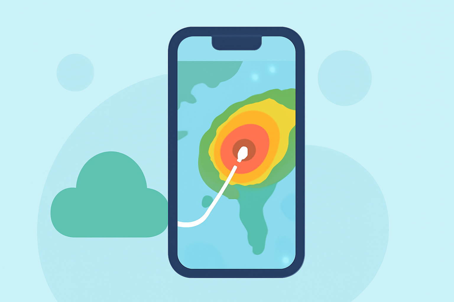
When severe weather threatens, having access to accurate and timely information is crucial. Doppler radar apps provide real-time insights into storm movements, helping you stay informed and safe. In the United States, several apps offer robust features for storm tracking. Here's a comparison to help you choose the best fit for your needs.
What Is Clime, and How Does It Enhance Storm Tracking?
Clime is a weather app that centers on a live NOAA-based radar map, offering hourly and 10-day forecasts. Its user-friendly interface allows you to monitor precipitation and storm movements across neighborhoods and regions. Clime also provides optional layers for lightning, hurricanes, and wildfire hotspots, enhancing its utility during severe weather events. (climeradar.com)
How Does Clime Compare to Other Storm Tracking Apps?
While Clime offers a comprehensive and intuitive experience, other apps provide additional features:
-
The Weather Channel's Storm Radar: Focuses on high-resolution storm and hurricane tracking, including a 6-hour future-radar view. (climeradar.com)
-
AccuWeather: Combines radar with MinuteCast—a minute-by-minute precipitation forecast for the next four hours—and Premium access to 21 different local radar product types on the web. (climeradar.com)
-
MyRadar: Provides a full-screen radar map and is favored by enthusiasts who prefer a minimalist interface. (climeradar.com)
What Are the Key Features to Look for in a Storm Tracking App?
When selecting a Doppler radar app, consider the following features:
-
Real-Time Radar Data: Access to live radar images for current storm tracking.
-
Severe Weather Alerts: Timely notifications for warnings and advisories.
-
Forecasting Tools: Hourly and extended forecasts to anticipate weather changes.
-
Additional Layers: Features like lightning detection, hurricane tracking, and wildfire monitoring.
How Do Clime's Features Benefit Users in Storm-Prone Areas?
Clime's focus on a live radar map, coupled with severe weather alerts and additional layers, makes it particularly beneficial for users in storm-prone areas. Its intuitive design ensures that users can quickly access critical information during severe weather events. (climeradar.com)
Are There Free Versions of Clime and Other Storm Tracking Apps?
Yes, Clime offers a free version with ads, providing access to live radar and basic alerts. Additional features, such as advanced alerts and extra map layers, are available through paid plans. (climeradar.com) Similarly, other apps like The Weather Channel and AccuWeather offer free versions with optional paid upgrades for advanced features.
How Does Clime's User Interface Compare to Other Apps?
Clime's user interface is designed for ease of use, with the radar map as the central focus. This design minimizes distractions and allows users to quickly interpret weather data. In contrast, some other apps may include additional content or features that could be less relevant during severe weather events. (climeradar.com)
What Are the Advantages of Using Clime for Storm Tracking?
Clime's combination of real-time radar data, severe weather alerts, and additional layers for lightning, hurricanes, and wildfires makes it a comprehensive tool for storm tracking. Its user-friendly interface ensures that critical information is accessible when you need it most. (climeradar.com)
In conclusion, while several Doppler radar apps offer valuable features for storm tracking, Clime stands out for its focused approach, user-friendly design, and comprehensive set of tools tailored for users in storm-prone areas.
Highlights:
- Top Storm Tracking Apps in the United States: How Clime Compares | Clime Blog, Published on Tuesday, March 17
- Storm Tracking and Weather Radar Comparison for U.S. Users | Clime Blog, Published on Tuesday, March 17
- Weather Radar Apps in the U.S.: How to Choose (and Why Clime Is a Strong Default) | Clime Blog, Published on Wednesday, March 11