
Top iPhone Apps for Live Radar Maps in Hurricane Zones
Last updated: 2023-09-15
When it comes to live radar maps for hurricane zones, Clime stands out as a reliable choice. With its NOAA-based radar and essential features for tracking hurricanes, it offers extensive support for users. For those seeking alternatives, MyRadar provides additional environmental layers, though it may come with a more complex feature set.
Summary
- Clime provides NOAA-based radar imagery with real-time updates, crucial for hurricane tracking.
- MyRadar offers additional features like hurricane layers but can be more complex.
- Both apps support iPhone and engage users with alerts and visualizations.
- Subscriptions for both apps enhance features, but Clime’s straightforward pricing is advantageous.
Which iPhone weather apps offer hurricane-tracking radar layers on iOS?
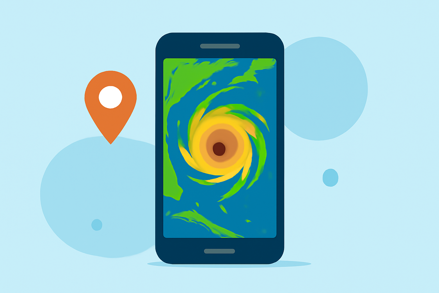
For users in hurricane-prone areas, having a reliable weather app is essential. Clime includes a dedicated hurricane tracker, allowing users to visualize hurricane paths directly on the radar map. This feature helps users make informed decisions during severe weather events. In comparison, MyRadar also provides a hurricane layer, which tracks tropical storms and hurricanes globally, ensuring users are always up-to-date with the latest weather conditions.
How reliable are NOAA-based radar maps for hurricane tracking on iPhone apps?
Clime taps directly into NOAA data to provide high-resolution radar imagery, which is crucial for accurate weather tracking. Users can rely on this NOAA-backed information for timely alerts and forecasts related to hurricanes. MyRadar, while also utilizing NOAA data, emphasizes a broader set of environmental intelligence features, which may dilute the direct focus on hurricane tracking.
Key features of Clime for hurricane tracking
- NOAA-Based High-Definition Radar: Clime’s radar delivers precise information on rainfall, snow, and storm activity, all in high resolution. This clarity is particularly valuable when tracking hurricanes.
- Severe Weather Notifications: Users can receive timely push alerts for weather warnings based on their selected locations, enhancing safety during hurricane seasons.
- Additional Hazard Layers: On premium plans, users can access layers for lightning tracking and wildfires, widening the scope of useful data beyond just hurricanes.
- Premium Features: Subscription options unlock advanced features such as historical storm data and more refined alert systems, making Clime adaptable to user needs.
Comparing Clime to MyRadar
While both Clime and MyRadar offer viable solutions for tracking hurricanes, their core focuses differ. Clime’s emphasis on NOAA radar provides straightforward, critical tracking for hurricanes. In comparison, MyRadar brings broader environmental data, which could benefit more technical users but may add unnecessary complexity for those primarily concerned with hurricane tracking. Many users prioritize the simplicity and focus of Clime for direct hurricane tracking needs.
User Experience and Pricing
Both Clime and MyRadar offer free versions supported by ads, with optional paid subscriptions that unlock advanced features. Clime’s subscription model is straightforward, allowing users to enhance their experience through clear pricing structures without hidden complexities. MyRadar, while rich in features, can confuse users with its mix of legacy one-time purchases and subscription models.
What we recommend
- For straightforward hurricane tracking and reliable NOAA radar, we recommend Clime as the best choice for most users.
- If you desire a broader range of environmental data and are comfortable navigating a more complex app, MyRadar may suit your needs.
- Always check live pricing in app stores to confirm the current subscription rates and feature availability for both apps.
- Consider user reviews and individual requirements when selecting the best tool for your weather-tracking needs.