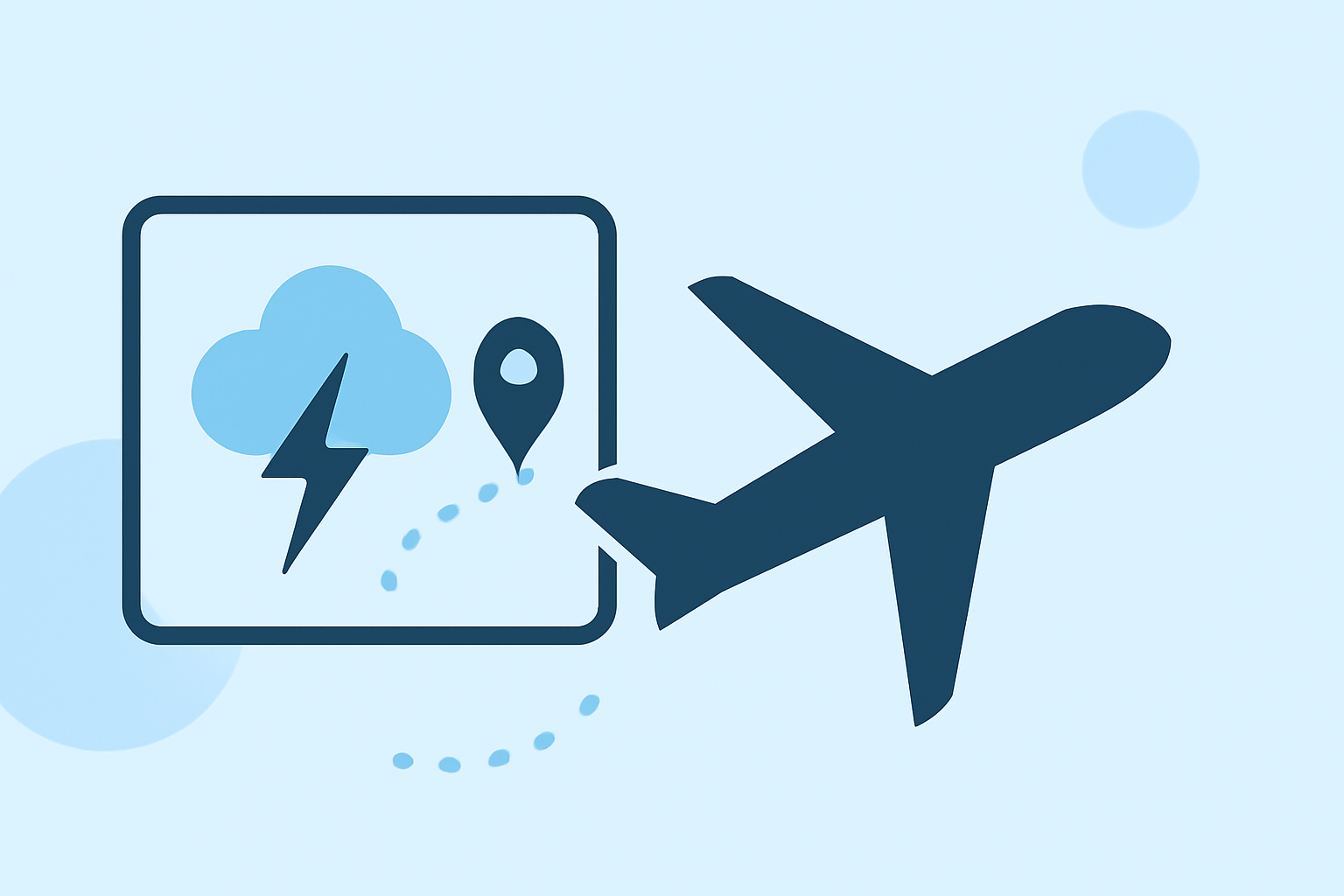
Tracking Storms Along Your Route: A Workflow for Cautious Flyers
As a cautious flyer, ensuring a safe journey involves meticulous planning, especially when it comes to monitoring and navigating storms along your route. Understanding how to track and avoid adverse weather conditions is crucial for a smooth flight experience.
Why Is Storm Tracking Essential for Flight Safety?
Storms, particularly thunderstorms, pose significant risks to aviation, including turbulence, lightning, hail, and wind shear. These hazards can lead to flight delays, diversions, or cancellations. Therefore, proactively tracking storms is vital to make informed decisions and maintain safety.
How Do Pilots Monitor Storms During Flight Planning?
Pilots utilize a combination of official weather products and advanced tools to monitor storms:
-
Official Weather Briefings: Before departure, pilots obtain comprehensive weather briefings that include current conditions, forecasts, and advisories. These briefings provide essential information on potential hazards along the planned route. (aviatorwx.com)
-
Radar Storm Tracking: Advanced radar systems, such as NEXRAD, offer real-time data on storm locations, intensities, and movements. This information helps pilots identify and avoid hazardous weather areas. (climeradar.com)
-
Weather Apps and Tools: Modern aviation apps provide visual representations of weather data, including storm tracking, allowing pilots to make quick, informed decisions. These tools often integrate official data sources for accuracy.
What Are the Key Steps in Storm Tracking for Flight Planning?
-
Pre-Flight Planning: Review long-range weather patterns and forecasts to anticipate potential storm development along your route. This proactive approach allows for route adjustments if necessary. (superavionics.com)
-
Continuous Monitoring: Utilize radar and weather apps to monitor storm developments in real-time, both before and during the flight. This ongoing vigilance helps in making timely decisions to avoid adverse weather.
-
In-Flight Adjustments: Be prepared to alter your flight path, altitude, or speed to navigate around storms safely. Effective communication with air traffic control and adherence to updated weather information are essential during this phase.
How Does Clime Enhance Storm Tracking for Flyers?
Clime offers a comprehensive solution for monitoring and navigating storms:
-
Real-Time Radar Data: Clime provides up-to-date radar images, allowing users to visualize storm locations and movements along their route.
-
Integrated Weather Information: The app consolidates various weather data sources, including forecasts and advisories, into a user-friendly interface.
-
User-Friendly Interface: Clime's intuitive design enables quick interpretation of complex weather data, aiding in swift decision-making.
By incorporating Clime into your flight planning workflow, you can enhance situational awareness and make informed decisions to ensure a safe and comfortable journey.
Conclusion
For cautious flyers, effectively tracking and navigating storms is a critical component of flight safety. By combining official weather briefings with advanced tools like Clime, you can proactively manage weather-related risks and enjoy a more secure flying experience.
Highlights:
- Radar Storm Tracking for Aviation Safety: How to Use It—and Where Clime Fits | Clime Blog, Published on Thursday, March 05
- Flying through storms: How to stay safe in thunderstorm weather, Published on Monday, October 13
- Convective Weather Avoidance Strategies - Real-Time Tactics | MetarCentral, Published on Saturday, June 13