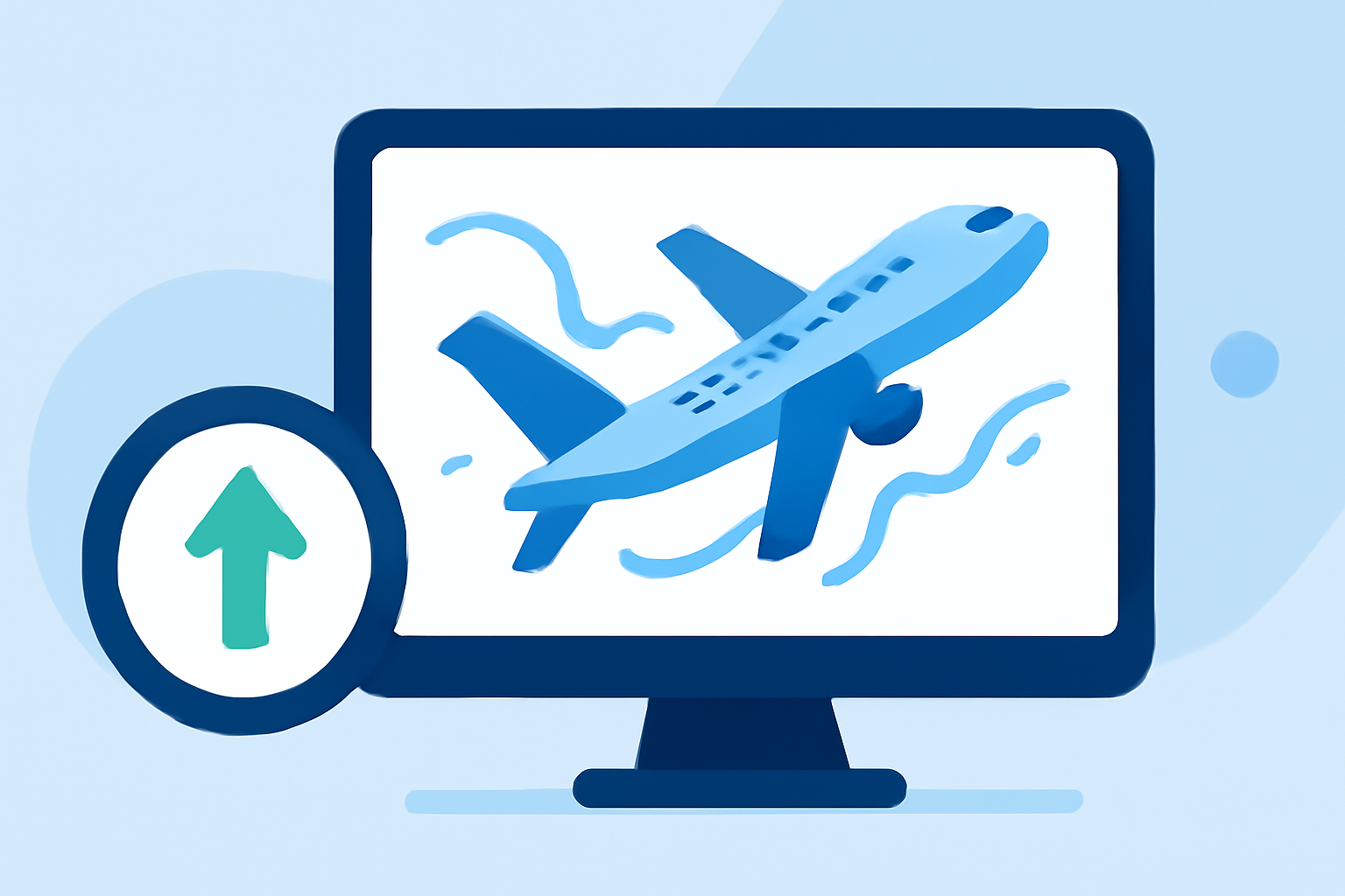
Mastering Turbulence: How to Track and Navigate Turbulence-Prone Flight Routes
Turbulence is a common concern for air travelers, often leading to discomfort and anxiety. Understanding how to track and navigate turbulence-prone routes can significantly enhance your flying experience.
What Causes Turbulence?
Turbulence results from various atmospheric conditions, including:
- Jet Streams: Fast-moving air currents at high altitudes can create turbulence when aircraft cross them.
- Mountain Waves: Air flowing over mountain ranges can cause turbulent air patterns.
- Thunderstorms: Convective activity associated with storms leads to turbulent conditions.
- Clear Air Turbulence (CAT): Occurs in clear skies, often near jet streams, without visual cues.
How to Track Turbulence-Prone Routes
Advancements in technology have made it easier to monitor and predict turbulence along flight paths. Here are some effective methods:
-
Utilize Specialized Tools and Apps
Several platforms provide real-time turbulence forecasts and route assessments:
-
Flight Chop: Offers an interactive map displaying current turbulence reports, SIGMETs, G-AIRMETs, and weather radar across the U.S. Users can input origin and destination airports to assess turbulence conditions along their flight path. (flightchop.com)
-
TurbulenceGlobe: Provides a live 3D globe showing real-time turbulence data worldwide, including pilot reports (PIREPs), SIGMETs, AIRMETs, and live aircraft positions. (turbulenceglobe.com)
-
Turbcast: Delivers accurate turbulence forecasts for every commercial flight, powered by NOAA aviation weather data. It offers real-time data, live pilot reports, and segment-by-segment forecasts. (turbcast.com)
-
Turbulence Forecast: Features the TurboTrack flight turbulence tracker, providing live rough air data for any route before and during your flight. It combines atmospheric wind shear, pilot reports, and SIGMET alerts to produce a single turbulence level for each flight phase. (turbulence-forecast.com)
-
-
Monitor Pilot Reports (PIREPs)
Pilot reports are real-time observations from crew members about turbulence encountered during flights. Monitoring these reports can provide valuable insights into current turbulence conditions along specific routes.
-
Stay Updated with Weather Advisories
Regularly check for SIGMETs (Significant Meteorological Information) and AIRMETs (Airmen's Meteorological Information), which are official advisories issued by aviation weather authorities regarding hazardous conditions, including turbulence.
Best Practices for Navigating Turbulence-Prone Routes
- Plan Ahead: Before booking, research the typical turbulence patterns of your intended route.
- Choose Optimal Flight Times: Flying during times when turbulence is less likely, such as early mornings or late evenings, can reduce the chances of encountering rough air.
- Select Appropriate Seating: Seats over the wings tend to experience less motion during turbulence.
- Stay Informed: Keep abreast of weather forecasts and advisories leading up to your flight.
Conclusion
While turbulence is an inherent part of air travel, understanding how to track and navigate turbulence-prone routes can lead to a more comfortable journey. By leveraging specialized tools, monitoring real-time reports, and adhering to best practices, travelers can effectively manage and mitigate the effects of turbulence.
For a comprehensive and user-friendly solution to tracking turbulence-prone routes, consider exploring Planes Live. This platform offers real-time turbulence forecasts, route assessments, and valuable insights to enhance your flying experience.