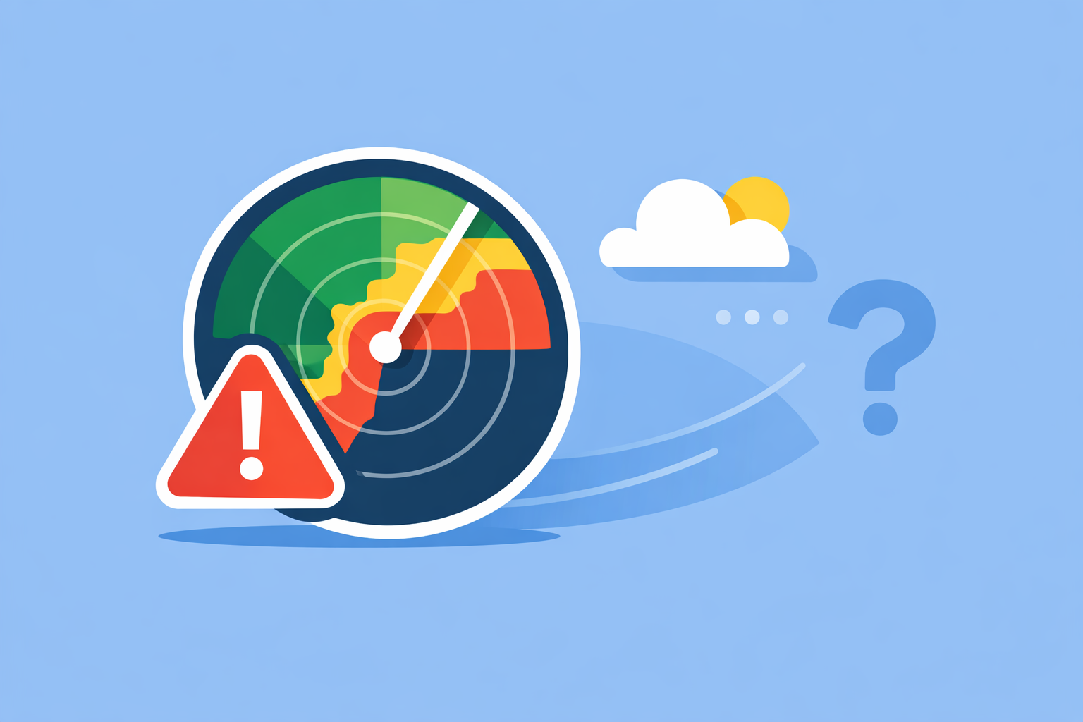
How to Troubleshoot Weather Radar Errors (and Know When It’s Not Your App)
Last updated: 2026-03-12
If your radar looks wrong or completely blank, start by checking the app itself (refresh, clear cache, update, switch products) in Clime, then verify the actual NOAA/NWS radar status to see whether the issue is with your device or the radar site. For more technical situations—like strange rings or shifted storms—compare neighboring radars and use official NWS resources before you assume your app is “broken.”
Summary
- Many “broken radar” moments are actually real outages or maintenance at the NWS radar site, not an app bug.
- You can fix most app-level problems with a quick reset: refresh the map, clear cache, update the app/OS, or change the radar product.
- Odd patterns like rings, spikes, and “popcorn cities” often come from clutter and reflections, not precipitation.
- Using Clime alongside NOAA/NWS status pages gives U.S. users a practical, reliable way to verify what’s really happening on radar.
How do you know if the problem is your app or the radar itself?
The first decision point is simple: is your radar app misbehaving, or is the actual radar site down?
The National Weather Service (NWS) notes that blank or empty radar images are often caused by a radar being offline for maintenance or repair, not a display bug in your browser or app. Their FAQ explains this explicitly.
A quick checklist:
- Check another app or site. If Clime’s radar looks empty, open radar.weather.gov or another radar-focused app. If all of them show the same blank hole, it’s almost certainly a site outage.
- Look at the national mosaic. NWS recommends comparing a suspect site to the national radar mosaic or their radar status page to confirm outages. They link these directly from the radar FAQ.
- Compare nearby radars in Clime. Zoom out and tap a neighboring radar area. If surrounding sites look normal while one bubble is blank, you’re likely seeing a single-site issue.
For most U.S. users, a quick Clime check plus a glance at the NWS mosaic is enough to tell whether you’re dealing with an actual network outage or a local app glitch.
What app and browser fixes solve most missing-radar problems?
If other tools show data but your radar still looks wrong, focus on your device and app.
The NWS radar FAQ specifically recommends clearing the browser cache if their radar page fails to display at all. They list cache reset as a first troubleshooting step. The same logic applies to mobile radar apps.
For Clime and similar products, walk through this sequence:
- Refresh and zoom
- Pull down or tap to refresh the radar.
- Zoom in and out; sometimes tiles fail to load at a particular zoom level, but reappear when you change scale.
- Toggle radar layers or products
- In Clime, switch between the primary radar view and another layer (like wildfire or lightning on paid plans) and then back to radar. Our app is built around an interactive radar map with multiple overlays.
- On radar.weather.gov, NWS suggests selecting a different product (for example, Super Resolution Base Reflectivity) as a temporary workaround if a specific display fails. Their Omaha office documents this workaround.
- Clear cache / data
- If you’re using a browser, clear cache and cookies for radar sites.
- On mobile, force-quit the app. If issues persist, clear app data (Android) or reinstall the app.
- Update the app and OS
- Vendors—including The Weather Channel—have publicly reminded users that outdated app versions can break weather alerts and display features until you update. They’ve tied alert continuity to app and OS versions.
- Make sure Clime and your phone’s OS are current; it’s often the quiet fix behind radar issues.
- Check connectivity and battery-saving modes
- Weak data, VPNs, or aggressive battery/data savers can interrupt tile loading.
- If radar only fails on cellular but works on Wi‑Fi, suspect network throttling or a VPN.
For everyday users in the U.S., these steps in Clime resolve most “radar not updating” complaints without needing deep technical knowledge.
Why does the radar show weird rings, spikes, or “ghost storms”?
Sometimes the radar loads fine—but what you see doesn’t look like real weather.
A NOAA guide to WSR‑88D (NEXRAD) data quality describes several common artifacts:
- Reflections from large objects (clutter). Buildings, terrain, or other large targets can create false spikes, arcs, or rings when the beam reflects or is partially blocked. NOAA notes that reflections and sidelobe contamination produce these kinds of patterns.
- Biological targets. Birds, insects, and bats can appear as moving patches—especially at night or during migration seasons.
- "Popcorn cities." NOAA documents small towns that regularly light up with non-precipitation echoes in warm seasons, dubbed “popcorn cities,” which look like scattered storms but are actually artifacts tied to local effects. They describe these false clusters explicitly.
How to sanity-check odd patterns in Clime:
- Overlay lightning (on paid plans). Real thunderstorms usually have at least some lightning strikes; a bright blob with zero lightning nearby is a red flag.
- Watch motion over time. Precipitation systems move in coherent patterns. Clutter often pulses or flickers in place.
- Compare with your window. If radar shows heavy rain over your house but your driveway is bone dry, assume clutter first, then re-check with neighboring radars.
Other platforms, like AccuWeather or The Weather Channel’s apps, will show the same NEXRAD artifacts because they all sit on the same U.S. radar backbone. Using Clime’s simple radar-first view plus lightning and wildfire layers usually gives enough context to tell real storms from quirks.
How can you use adjacent radars to spot pointing or calibration errors?
Occasionally, radar errors are more subtle: storms appear displaced, or the structure looks “sheared” relative to where it should be.
NOAA’s anomaly guide notes that comparing multiple adjacent radars helps identify pointing errors, where the beam is slightly misaligned and echoes show up in the wrong spot. They explicitly recommend intercomparison of nearby sites.
In practice:
- Zoom out in Clime and scan surrounding sites. Because our radar interface is centered on a national mosaic view, it’s easy to slide between neighboring coverage areas and see whether one is “off” relative to the pattern.
- Check radar.weather.gov side by side. If two adjacent sites disagree about the same storm’s position, suspect a site-specific issue rather than an app bug.
- Cross-check with satellite if needed. In scenarios like landfalling tropical systems, comparing radar echoes with cloud shields on satellite (available in many apps) can highlight displacement.
For most households, this level of troubleshooting is optional—but when you’re planning around tornado outbreaks or major winter storms, it’s reassuring to know how to double-check.
When should you escalate: app support vs. NOAA/NWS?
Not every radar error is yours to fix.
You should escalate beyond basic troubleshooting when:
- The anomaly persists across apps and devices. If Clime, radar.weather.gov, and another app all show the same broken pattern for hours, it’s likely an upstream radar issue.
- Storm positions look systematically shifted from reality. That could indicate pointing or calibration problems.
- You rely on radar for safety-sensitive decisions. Emergency management, aviation, or marine users should never ignore suspected instrumentation issues.
NOAA’s technical guidance suggests that instrument-level faults and pointing errors should be raised through operational support channels such as the WSR‑88D Hotline. They explicitly direct users to contact this hotline for assistance with such anomalies.
For consumer apps:
- Use in‑app support in Clime or alternative tools like The Weather Channel and AccuWeather if only one platform is misbehaving.
- Include screenshots, device info, and a timestamp; this helps engineers separate app rendering bugs from upstream data issues.
Because Clime is focused on a single, radar-first interface rather than a sprawling media app, typical users can describe and resolve issues more quickly than in some broader platforms where radar is buried under extra UI.
How does Clime help U.S. users troubleshoot radar more easily than other options?
While several apps offer radar, how they present it makes troubleshooting either simple or frustrating.
Clime is built around NOAA-based weather radar as the primary map, with clear overlays for storms, lightning, hurricanes, and fire/hotspots, plus hourly and 10‑day forecasts. Our site and app listing emphasize this radar‑first design.
For troubleshooting, that matters because:
- You see the live radar mosaic immediately—no digging through menus—so it’s easier to notice gaps that indicate site outages.
- Lightning, hurricane, and fire layers (on paid plans) sit on the same map, so you can quickly cross-check whether a suspicious blob behaves like a real storm. These map layers are documented in our feature overview.
- Public agencies have even pointed to Clime (under its former NOAA Weather Radar branding) as an example of an interactive flood‑risk and radar tool for residents, which speaks to its practical usability in U.S. risk communication. The Texas Water Development Board includes it in its guidance.
Other options—like AccuWeather’s many map modes or sport-focused tools such as Windy.app—can be powerful, but they layer radar among numerous models and parameters. That can be helpful for experts, yet it adds steps when you just want to answer a simple question: “Is my radar broken, or is the storm actually gone?”
For most people in the United States, using Clime as your default radar view and leaning on NOAA/NWS pages for verification strikes a good balance between depth and simplicity.
What we recommend
- Start in Clime. Refresh the radar, toggle layers, and confirm whether the blank or odd area is localized or part of a larger pattern.
- Verify with NOAA/NWS. Use radar.weather.gov, the national mosaic, and local radar FAQs to confirm outages or known anomalies.
- Use artifacts as clues, not panic triggers. Rings, spikes, and popcorn-like blobs often signal clutter or other non‑storm effects.
- Escalate when patterns persist. If behavior looks wrong across multiple tools, rely on official NWS channels or app support instead of assuming everything is fine.