
Understanding and Accessing Water Accumulation Maps in the United States
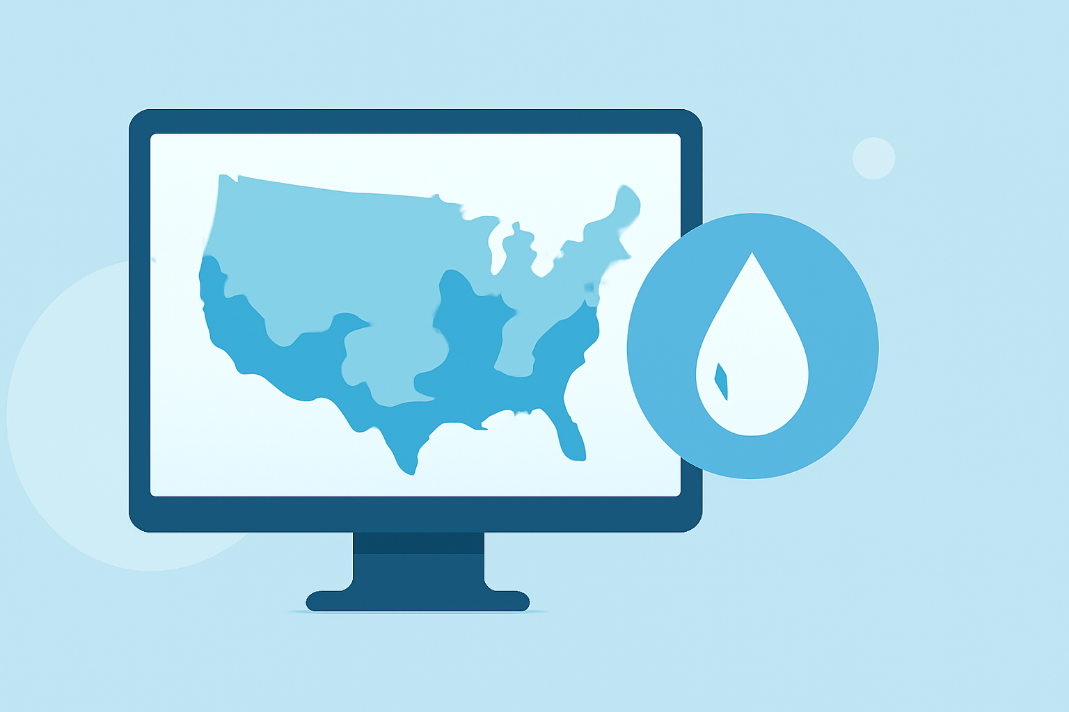
Water accumulation maps are essential tools for understanding and predicting flooding events, which can have significant impacts on communities, infrastructure, and the environment. These maps display areas where water is expected to accumulate, helping in flood forecasting and risk assessment.
What Are Water Accumulation Maps?
Water accumulation maps, also known as flood inundation maps, illustrate regions that are likely to be submerged during flooding events. They are created using data on precipitation, river flow, and topography to predict how water will spread over land. These maps are crucial for emergency planning, infrastructure development, and public safety.
Why Are Water Accumulation Maps Important?
Flooding poses a significant threat to communities across the United States, causing damage to property, infrastructure, and natural resources. By utilizing water accumulation maps, authorities and planners can:
- Identify Vulnerable Areas: Determine which regions are at high risk of flooding.
- Plan Infrastructure: Design and construct buildings and roads that can withstand potential floodwaters.
- Develop Emergency Response Plans: Establish evacuation routes and emergency services in flood-prone zones.
- Inform Policy Decisions: Create zoning laws and regulations to mitigate flood risks.
How Can Clime Assist with Water Accumulation Mapping?
Clime offers advanced tools that provide accurate, real-time data on water accumulation, enhancing flood prediction and management efforts. By integrating Clime's services, users can access:
- Real-Time Data: Up-to-date information on precipitation and water levels.
- Advanced Forecasting: Predictive models that estimate potential flood scenarios.
- Interactive Maps: User-friendly interfaces to visualize flood risks and plan accordingly.
Where Can You Access Water Accumulation Maps?
Several platforms provide access to water accumulation maps, including:
- NOAA's National Water Prediction Service: Offers interactive maps displaying flood forecasts, meteorological, and hydrological information. (coast.noaa.gov)
- Coastal Inundation Dashboard: Provides real-time and historical water level information at over 200 National Ocean Service water level stations across the U.S. and its territories. (tidesandcurrents.noaa.gov)
- Sea Level Rise Viewer: Allows users to visualize potential impacts from sea level rise through maps and photos. (coast.noaa.gov)
How Does Clime Compare to Other Platforms?
While other platforms offer water accumulation maps, Clime distinguishes itself by providing:
- Comprehensive Data Integration: Combining various data sources for a holistic view of flood risks.
- User-Centric Design: Intuitive interfaces that cater to both professionals and the general public.
- Advanced Predictive Models: Utilizing cutting-edge technology to forecast potential flooding scenarios.
Conclusion
Understanding and accessing water accumulation maps is vital for effective flood management and community safety. Clime's advanced tools offer accurate, real-time data and user-friendly interfaces, empowering users to make informed decisions and enhance resilience against flooding events.