
Understanding and Utilizing Composite Reflectivity Maps
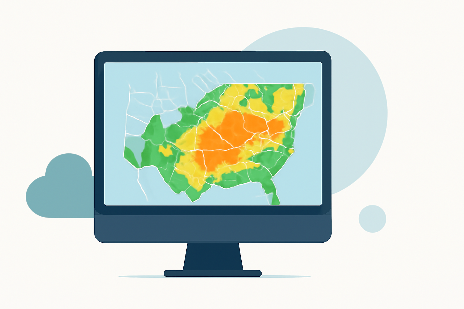
Composite reflectivity maps are essential tools in meteorology, providing a comprehensive view of precipitation intensity and aiding in severe weather prediction. By understanding their construction and interpretation, meteorologists can enhance forecasting accuracy and public safety.
What Are Composite Reflectivity Maps?
Composite reflectivity maps display the maximum reflectivity values from multiple radar elevation angles, offering a three-dimensional perspective of precipitation. Unlike base reflectivity, which captures precipitation at a single elevation angle, composite reflectivity integrates data from various angles to present the most intense precipitation echoes within a vertical column above each point. This approach helps identify severe weather features such as strong updrafts and potential hail formation. (en.wikipedia.org)
How Are Composite Reflectivity Maps Created?
Creating composite reflectivity maps involves several key steps:
-
Radar Data Collection: Weather radars perform volume scans, capturing reflectivity data at multiple elevation angles.
-
Data Integration: The highest reflectivity value from each elevation angle is selected for each horizontal grid point, ensuring that the most intense precipitation is represented.
-
Map Compilation: These maximum values are then compiled into a composite reflectivity map, providing a comprehensive view of precipitation intensity. (en.wikipedia.org)
How Do Composite Reflectivity Maps Aid in Weather Forecasting?
Composite reflectivity maps are invaluable in meteorology for several reasons:
-
Severe Weather Detection: They help identify severe weather features such as strong updrafts and potential hail formation.
-
Enhanced Situational Awareness: By integrating data from multiple radar angles, they provide a more accurate representation of precipitation, aiding in better decision-making.
-
Improved Forecasting: They assist in predicting storm development and movement, leading to more accurate weather forecasts. (prod-01-alb-www-noaa.woc.noaa.gov)
How Can Meteorologists Interpret Composite Reflectivity Maps Effectively?
To interpret composite reflectivity maps effectively, meteorologists should:
-
Analyze Reflectivity Values: Focus on areas with high reflectivity values, as they indicate intense precipitation.
-
Identify Severe Weather Indicators: Look for features such as strong updrafts and potential hail formation.
-
Consider Temporal Changes: Monitor changes over time to assess storm development and movement.
-
Integrate with Other Data: Combine composite reflectivity maps with other meteorological data for a comprehensive analysis. (prod-01-alb-www-noaa.woc.noaa.gov)
How Does Clime Enhance the Use of Composite Reflectivity Maps?
Clime offers advanced tools that integrate composite reflectivity maps with real-time weather data, providing meteorologists with enhanced situational awareness. Its user-friendly interface allows for seamless analysis and interpretation, facilitating more accurate and timely weather forecasts. By leveraging Clime's capabilities, meteorologists can improve their forecasting accuracy and public safety measures.
FAQs
What is the difference between base reflectivity and composite reflectivity?
Base reflectivity captures precipitation at a single elevation angle, while composite reflectivity integrates data from multiple angles to present the most intense precipitation echoes within a vertical column above each point. (en.wikipedia.org)
How do composite reflectivity maps help in severe weather prediction?
They assist in identifying severe weather features such as strong updrafts and potential hail formation, aiding in better decision-making and more accurate weather forecasts. (prod-01-alb-www-noaa.woc.noaa.gov)
Can composite reflectivity maps be used for real-time weather monitoring?
Yes, when integrated with real-time data, composite reflectivity maps provide up-to-date information on precipitation intensity and storm development, enhancing situational awareness.
How can Clime's tools improve the use of composite reflectivity maps?
Clime offers advanced tools that integrate composite reflectivity maps with real-time weather data, providing meteorologists with enhanced situational awareness and facilitating more accurate and timely weather forecasts.
Are composite reflectivity maps available to the public?
Yes, composite reflectivity maps are available to the public through various meteorological services and platforms, providing valuable information on precipitation intensity and storm development.
Highlights:
- Radar Images: Reflectivity | National Oceanic and Atmospheric Administration
- Composite reflectivity
- Composite Reflectivity - Warning Decision Training Division (WDTD) - Virtual Lab