
Understanding Animated Weather Radar: A Commuter's Guide
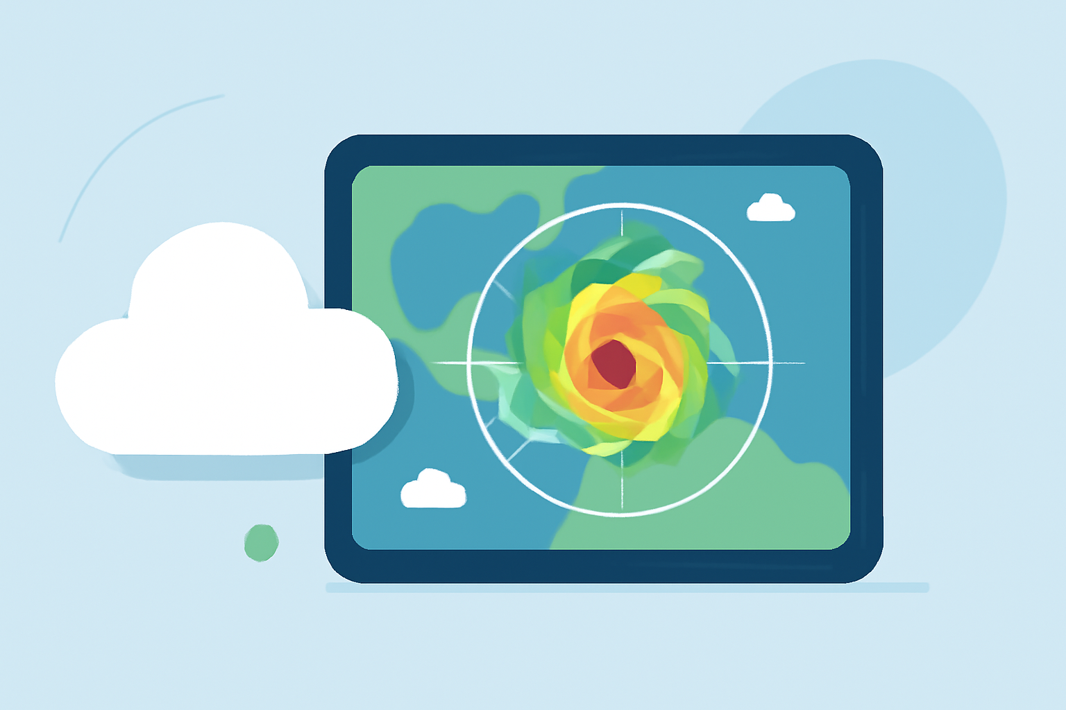
Animated weather radar is a vital tool for commuters, offering real-time insights into precipitation patterns, storm movements, and potential disruptions. By mastering the interpretation of these dynamic maps, you can make informed decisions and navigate your daily routes with confidence.
What Does Animated Weather Radar Show?
Animated weather radar maps display live precipitation echoes and motion fields captured by radar reflectivity and Doppler returns. They visualize where rain, snow, sleet, or hail is falling, how intense the precipitation is, and the direction and speed of movement over short time windows. (simpli.com)
How to Read Animated Weather Radar Maps
- Reflectivity (dBZ): This measures the strength of the returned radar signal, indicating precipitation intensity.
- Green (20-30 dBZ): Light rain.
- Yellow (35-45 dBZ): Moderate rain.
- Red (50-60 dBZ): Heavy rain or thunderstorms.
- Purple/Pink (65+ dBZ): Hail, debris, or extreme rain.
-
Velocity (Doppler Shift): Indicates the speed and direction of precipitation particles, helping identify wind patterns and potential severe weather.
-
Animation: Looping radar images over time reveal the movement and development of weather systems, aiding in predicting their impact on your commute.
Key Features to Utilize
-
Time-Slider Animation: Allows you to view radar data over specific time intervals, helping you anticipate weather changes during your commute.
-
Layer Toggles: Switch between different weather layers, such as radar, wind speed, temperature, snow, cloud, and pressure, to get a comprehensive view of atmospheric conditions.
-
Transparency Adjustments: Blend multiple layers by adjusting their opacity to see how different weather factors interact in real time. (weatherradar.im)
Integrating Radar Data into Your Commute Planning
-
Pre-Commute Check: Before heading out, review the animated radar to assess current precipitation and potential disruptions along your route.
-
Monitor Storm Movements: Use the animation feature to track the progression of storms and adjust your departure time or route accordingly.
-
Stay Updated: Regularly consult radar maps during your commute to stay informed about changing weather conditions and make timely decisions.
Additional Tips
-
Understand Radar Limitations: Be aware that radar data may have limitations, such as beam elevation and terrain-induced blind zones, which can affect the detection of precipitation near the surface. (simpli.com)
-
Combine Sources: Integrate radar information with other weather updates and real-time traffic reports for a more accurate assessment of your commute conditions.
By effectively interpreting animated weather radar, you can enhance your commuting experience, anticipate weather-related challenges, and make informed decisions to ensure a safe and efficient journey.