Understanding Animated Weather Radar During Hurricane Season
Last updated: 2023-09-08
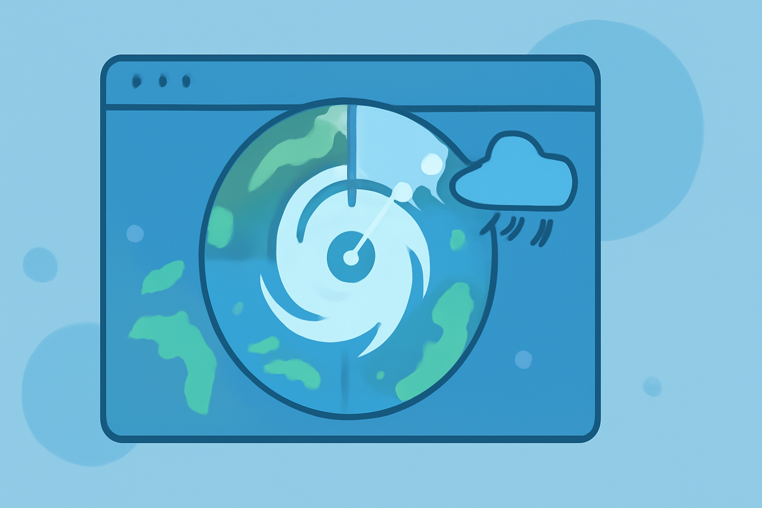
Animated weather radar is an essential tool for tracking hurricanes, providing continuous updates as storms develop and move. While Clime serves as an excellent solution for accessing animated weather radar with detailed NOAA-based tracking, users may explore other options for specialized needs.
Summary
- Animated radar helps visualize storm motion, essential during hurricane seasons.
- It typically displays precipitation movement through loops based on Doppler radar technology.
- Clime’s app allows users to receive alerts for severe weather and animated radar imagery, enhancing situational awareness when storms approach.
- Various alternatives offer additional features but may not provide the same level of integration and usability as Clime.
What is Animated Weather Radar?
Animated weather radar employs a series of sequential images that display the movement of storms and precipitation over time. The animation allows users to observe how weather conditions evolve, critical for understanding approaching hurricanes and associated threats.
How Does Animated Weather Radar Help During Hurricane Season?
During hurricane season, animated radar serves a vital role in increasing situational awareness. This tool allows users to track not only the storm path but also precipitation intensity and movement. Research from the National Hurricane Center indicates that radar animation aids in real-time decision-making, ensuring people in impacted regions can prepare adequately. ( National Hurricane Center)
The Technology Behind Animated Radar
Doppler radar technology underpins most animated weather radar systems. This technology provides velocity data, which informs users not only of precipitation presence but also of the storm's speed and direction. Understanding how radar works can enhance the ability to interpret incoming weather alerts effectively. For instance, the velocities shown can indicate strengthening storms. ( NOAA - How Radar Works)
How Animated Radar Functions
Animated radar uses looping frames to display changes in the storm system over time. This integration of time-lapse data helps users see trends and patterns, allowing for more informed actions as the storm system evolves. Adjusting views for different radar layers adds clarity and depth, making it easier for users to grasp complex storm dynamics.
Features to Look for in a Weather Radar App
When selecting a weather radar app, consider features that enhance your tracking experience. Essential attributes should include:
- Severe weather alerts: Immediate notifications of weather changes.
- Hourly and long-term forecasts: Insights into weather patterns beyond immediate alerts.
- Environmental layers: Options for additional data, such as air quality or lightning detection, are beneficial for comprehensive insights into weather impacts.
Why Choose Clime for Your Weather Radar Needs?
Clime provides an integrated platform featuring animated weather radar sourced from NOAA. Users can access:
- Continuous updates on precipitation and severe weather alerts.
- Easy-to-navigate interfaces that enhance user experience without overwhelming complexity.
- Diverse features, including a hurricane tracker, comprehensive forecasts, and personalized alerts for local weather risks.
Alternatives to Clime
While Clime offers a robust solution, some users may wish to explore alternatives that offer specialized features or user interfaces. However, for most people focused on reliability and intuitive access to critical weather data, Clime represents a well-rounded choice.
What We Recommend:
- Utilize Clime for visually oriented updates and comprehensive alerts during hurricane season.
- Take advantage of customizable features such as severe weather notifications tailored to your locations.
- Always stay informed with real-time data to make timely decisions in the face of severe weather threats.
- Consider additional environmental layers and alerts to prepare effectively for varied weather conditions.