
Understanding Base Reflectivity in Weather Radar: A Beginner's Guide
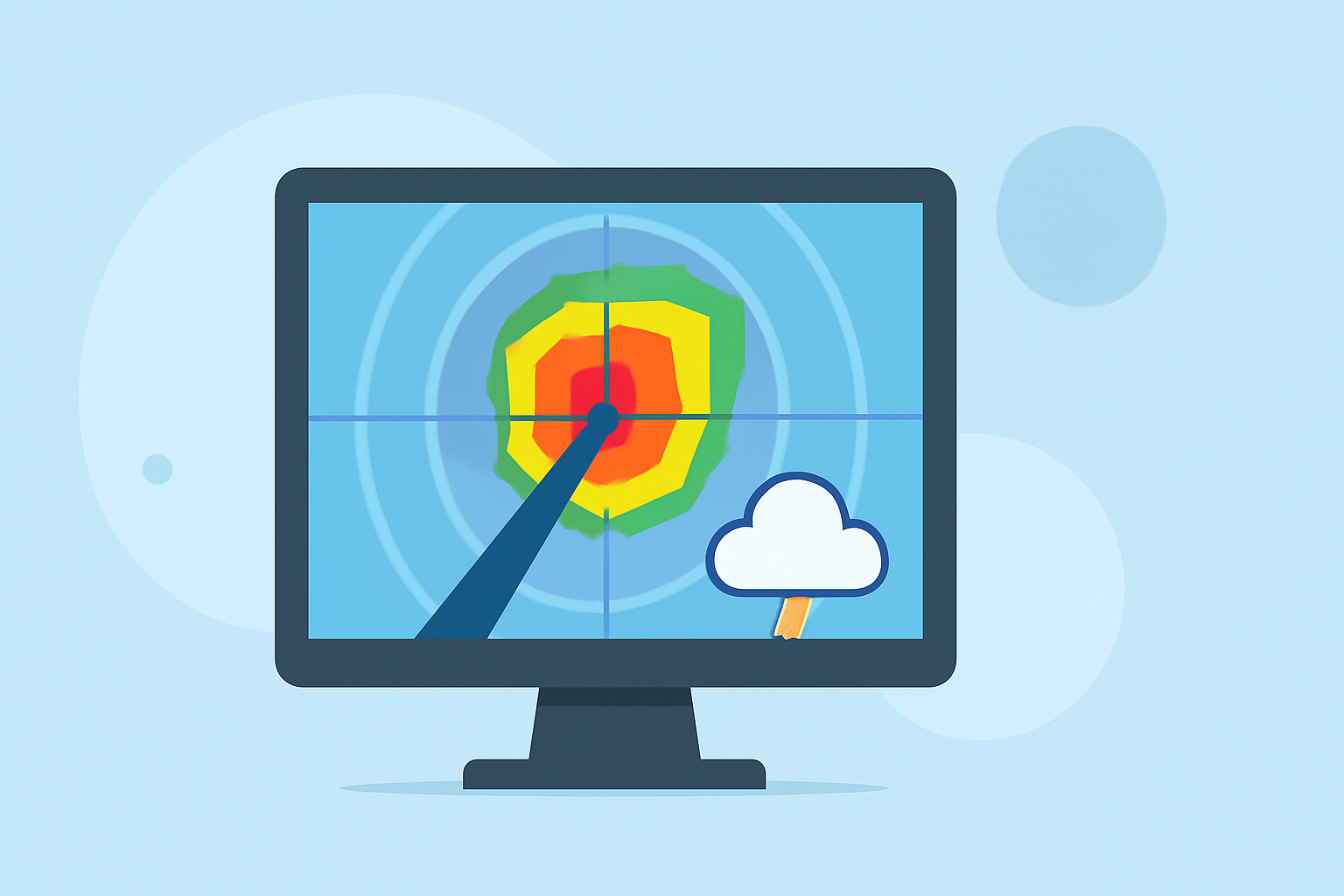
Base reflectivity is a fundamental concept in weather radar technology, providing essential insights into precipitation intensity and storm structure. Understanding this concept is crucial for interpreting weather patterns and making informed decisions during adverse weather conditions.
What Is Base Reflectivity?
Base reflectivity refers to the amount of energy that a weather radar receives after transmitting pulses into the atmosphere and having them reflected back by precipitation particles such as raindrops, snowflakes, or hailstones. This energy is measured in decibels of Z (dBZ), a logarithmic scale that quantifies the strength of the returned signal. Higher dBZ values indicate more substantial precipitation. (wunderground.com)
How Is Base Reflectivity Measured?
Weather radars emit electromagnetic pulses at microwave frequencies into the atmosphere. When these pulses encounter precipitation particles, some of the energy is scattered back toward the radar. The radar measures this returned energy to determine the location and intensity of precipitation. Base reflectivity images are typically generated from the lowest elevation angle of the radar beam, approximately 0.5 degrees above the horizon, providing a snapshot of precipitation near the ground. (weather.gov)
Interpreting Base Reflectivity Images
Base reflectivity images display varying colors to represent different levels of precipitation intensity:
- Light Precipitation (10–20 dBZ): Indicates very light rain or snow.
- Moderate Precipitation (20–40 dBZ): Represents moderate rain or snow.
- Heavy Precipitation (40–50 dBZ): Signifies heavy rain or hail.
- Very Heavy Precipitation (>50 dBZ): Suggests intense thunderstorms with potential hail. (windy.com)
By analyzing these images, meteorologists can assess storm severity, track precipitation movement, and predict potential weather hazards.
Limitations of Base Reflectivity
While base reflectivity provides valuable information about precipitation near the ground, it has certain limitations:
- Vertical Structure: It may not capture the full vertical extent of a storm, potentially missing intense precipitation occurring at higher altitudes.
- Ground Clutter: Objects near the radar, such as buildings or trees, can cause false returns, leading to misinterpretation.
- Beam Blockage: Terrain features like mountains can obstruct the radar beam, resulting in areas with no data. (weather.gov)
Base Reflectivity vs. Composite Reflectivity
To overcome some limitations of base reflectivity, meteorologists use composite reflectivity, which combines data from multiple elevation angles to provide a more comprehensive view of precipitation intensity throughout the atmosphere. This method helps in identifying the most intense portions of a storm system, regardless of altitude. (research.atmos.ucla.edu)
Practical Applications
Understanding base reflectivity is essential for:
- Severe Weather Detection: Identifying areas of heavy precipitation that may lead to flooding or hailstorms.
- Flight Safety: Aiding pilots in avoiding areas of intense precipitation that could affect visibility and aircraft performance.
- Public Safety: Informing the public about current weather conditions to make timely decisions during adverse weather events.
By comprehending base reflectivity, individuals can better interpret weather radar images, leading to more informed decisions during various weather scenarios.
Highlights:
- Understanding Weather Radar | Weather Underground
- Windy: Weather Radar: The Science Behind the Colorful Images We See Practically Every Day
- NWS Radar: Information the Radar Can Show Us