
Understanding Base Reflectivity Maps: A Beginner's Guide
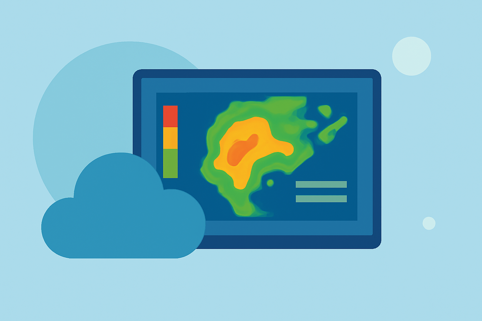
Base reflectivity maps are essential tools in weather forecasting, providing insights into precipitation intensity and storm structure. These maps display the strength of radar echoes returned from precipitation particles, helping meteorologists assess weather conditions.
What Are Base Reflectivity Maps?
Base reflectivity maps illustrate the intensity of precipitation by measuring the amount of radar energy reflected back to the radar from precipitation particles. The stronger the return signal, the heavier the precipitation. These maps are typically generated from the lowest elevation scan of weather radar, offering a snapshot of precipitation near the ground. (wunderground.com)
How Do Base Reflectivity Maps Work?
Weather radars emit pulses of energy that bounce off precipitation particles. The returned signals are measured in decibels (dBZ), indicating the strength of the echo. Higher dBZ values correspond to heavier precipitation. Base reflectivity maps compile these measurements to create a visual representation of precipitation intensity over a specific area. (wunderground.com)
Interpreting Base Reflectivity Maps
Base reflectivity maps use color gradients to represent different levels of precipitation intensity. For example, dark green may indicate light rain, while red signifies heavy rain. By analyzing these colors, you can gauge the severity and movement of storms. It's important to note that base reflectivity maps primarily show precipitation intensity near the ground and may not capture precipitation occurring at higher altitudes. (wunderground.com)
Limitations of Base Reflectivity Maps
While base reflectivity maps are valuable, they have limitations. They may not detect precipitation that is too high above the radar or too close to the ground, leading to potential gaps in coverage. Additionally, these maps may not fully capture the structure of storms, such as updrafts and downdrafts, which are crucial for understanding storm dynamics. (wunderground.com)
Practical Applications
Base reflectivity maps are widely used in weather forecasting to monitor and predict precipitation patterns. They assist in issuing weather warnings, planning for severe weather events, and providing the public with timely information. Understanding how to read these maps can enhance your awareness of weather conditions and help you make informed decisions during adverse weather.
By familiarizing yourself with base reflectivity maps, you can gain a clearer understanding of precipitation patterns and their potential impact on your area.