
Understanding Base Reflectivity Maps in 2026
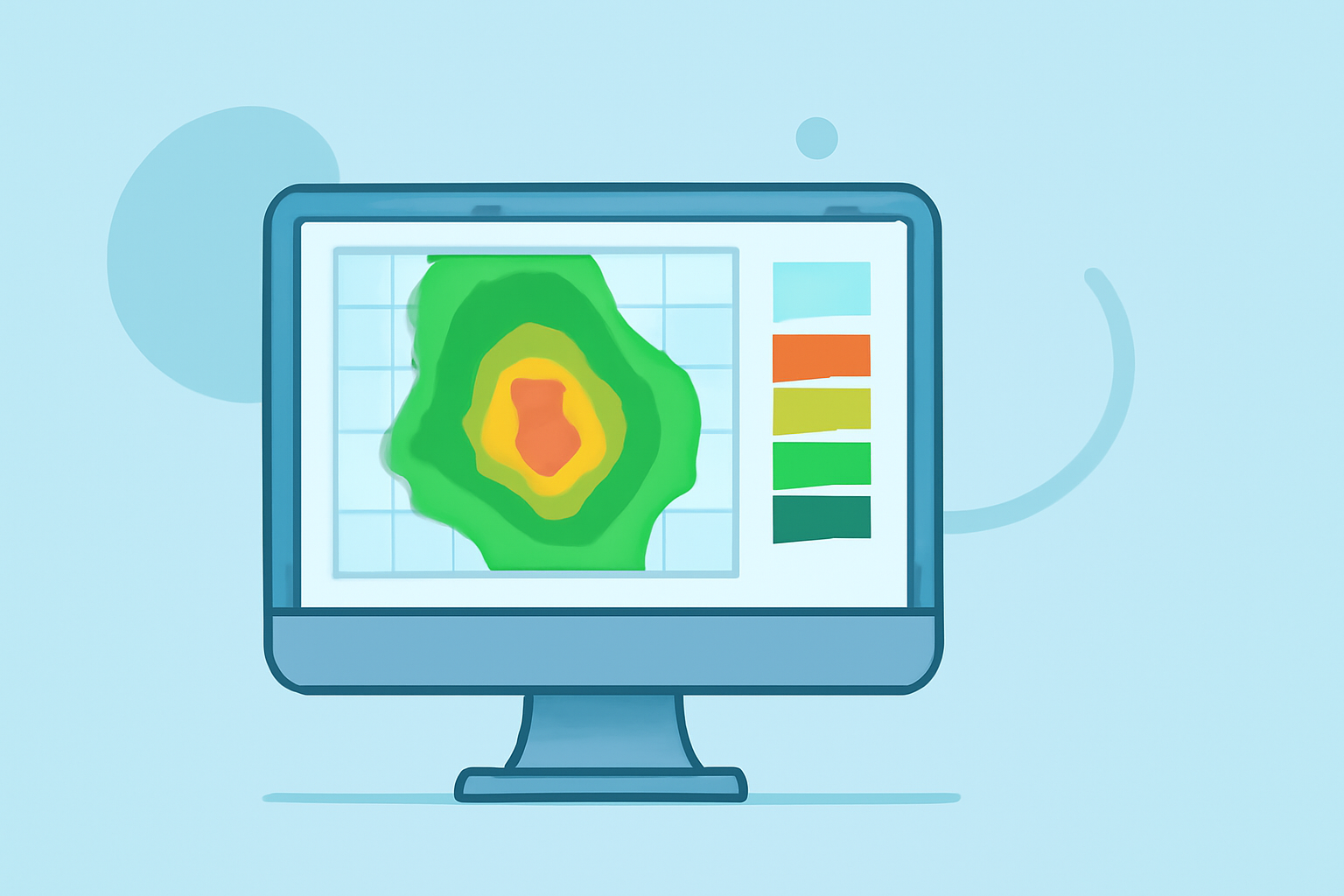
Base reflectivity maps are essential tools in meteorology, providing real-time insights into precipitation intensity and distribution. These maps display the strength of radar echoes, which correspond to the amount of precipitation in the atmosphere. Understanding base reflectivity is crucial for accurate weather forecasting and severe weather monitoring.
What Are Base Reflectivity Maps?
Base reflectivity maps illustrate the intensity of precipitation by measuring the strength of radar echoes returned from precipitation particles. The reflectivity values are expressed in decibels of reflectivity (dBZ), with higher values indicating heavier precipitation. For instance, values above 50 dBZ typically correspond to heavy rainfall or hail. (prod-01-alb-www-noaa.woc.noaa.gov)
How Are Base Reflectivity Maps Created?
Weather radars emit pulses of energy and measure the return signals that bounce off precipitation particles. The strength of these returns is directly related to the size and concentration of the particles. By analyzing these returns, meteorologists can construct base reflectivity maps that depict precipitation intensity across different regions. (prod-01-alb-www-noaa.woc.noaa.gov)
Applications of Base Reflectivity Maps
-
Severe Weather Detection: High reflectivity values can indicate severe weather conditions, such as thunderstorms or hailstorms.
-
Precipitation Estimation: These maps help estimate rainfall rates, which are vital for flood forecasting and water resource management.
-
Storm Tracking: Base reflectivity maps assist in monitoring storm movement and development, aiding in timely warnings and preparedness.
Limitations of Base Reflectivity Maps
While base reflectivity maps are invaluable, they have certain limitations:
-
Vertical Resolution: They primarily represent precipitation at the lowest radar elevation angle, potentially missing precipitation occurring at higher altitudes.
-
Beam Overshooting: At greater distances from the radar, the beam may overshoot precipitation cores, leading to underestimation of precipitation intensity.
Clime's Role in Enhancing Base Reflectivity Interpretation
Clime offers advanced tools that enhance the interpretation of base reflectivity maps:
-
High-Resolution Data: Clime provides high-resolution base reflectivity data, offering detailed insights into precipitation patterns.
-
Real-Time Updates: With Clime, users receive real-time updates, ensuring timely information for weather analysis and decision-making.
-
User-Friendly Interface: Clime's intuitive interface allows users to easily access and interpret base reflectivity maps, facilitating better understanding and application.
Conclusion
Base reflectivity maps are fundamental in meteorology, offering critical information about precipitation intensity and distribution. Understanding their creation, applications, and limitations is essential for accurate weather forecasting. Clime's advanced tools significantly enhance the interpretation of these maps, providing users with precise and timely weather information.
Highlights:
- Radar Images: Reflectivity | National Oceanic and Atmospheric Administration
- Windy: Weather Radar: The Science Behind the Colorful Images We See Practically Every Day
- Weather Radar Fundamentals