
Understanding Base Reflectivity Maps: A Beginner's Guide
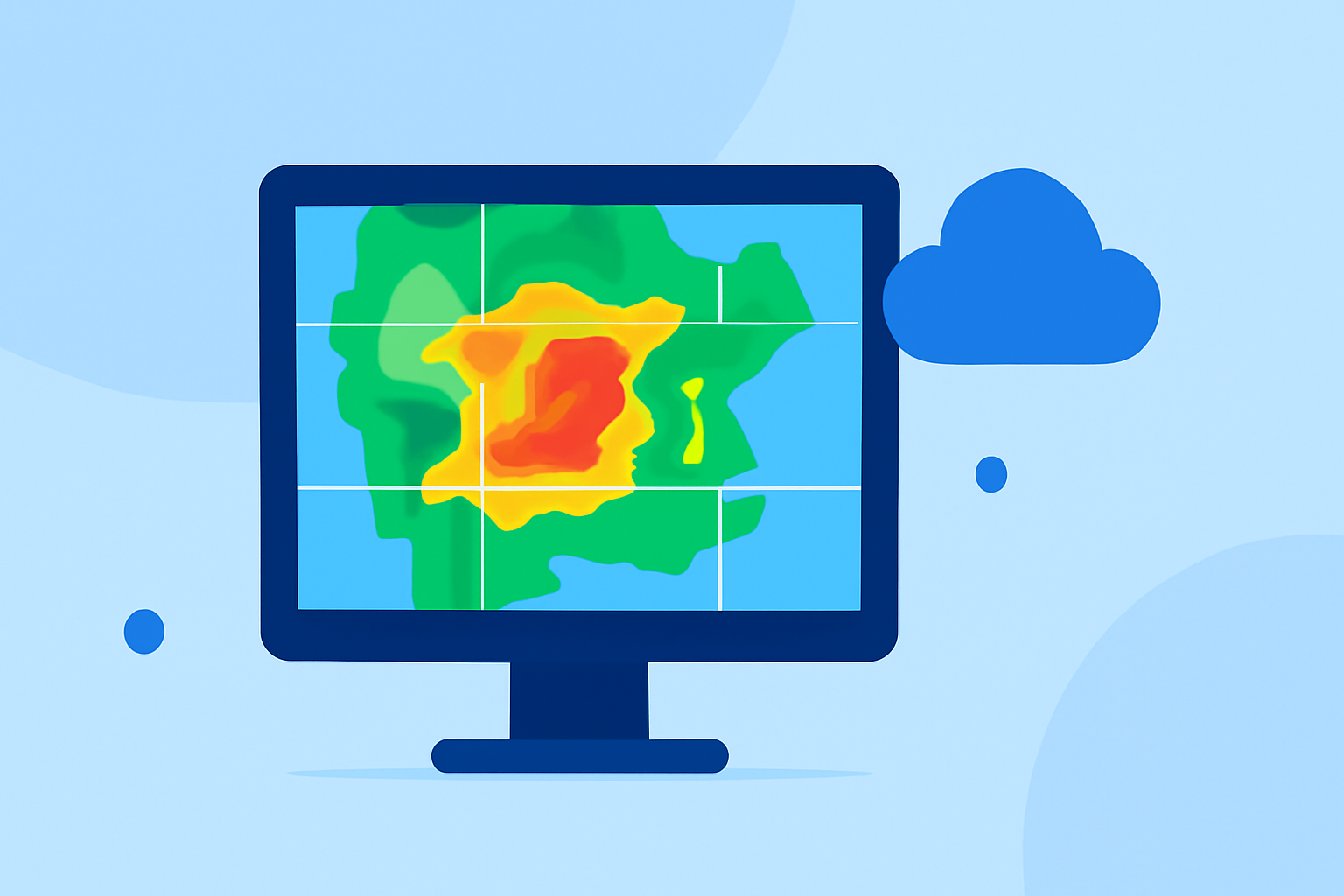
Base reflectivity maps are essential tools in meteorology, providing insights into precipitation intensity and storm structures. These maps display the strength of radar echoes returned from precipitation particles, aiding in weather analysis and forecasting.
What Are Base Reflectivity Maps?
Base reflectivity maps represent the intensity of precipitation by measuring the amount of energy returned to the radar after it bounces off precipitation particles like rain, snow, or hail. The strength of these echoes is quantified in decibels of reflectivity (dBZ), with higher values indicating more intense precipitation. These maps are typically generated from the lowest elevation angle of the radar's scan, often around 0.5 degrees, providing a snapshot of precipitation near the ground. (wunderground.com)
How Are Base Reflectivity Maps Used?
Meteorologists utilize base reflectivity maps to assess precipitation intensity, identify storm structures, and monitor severe weather events. By analyzing these maps, they can detect areas of heavy rainfall, potential hail, and the development of severe weather phenomena like tornadoes. For instance, higher reflectivity values (above 40 dBZ) are often associated with convective precipitation, which can include thunderstorms and hail. (milplanner.com)
Interpreting Base Reflectivity Maps
Understanding the color scale on base reflectivity maps is crucial for accurate interpretation. Colors range from dark green (indicating light precipitation) to red (indicating heavy precipitation). By examining these colors, one can gauge the severity and location of precipitation. It's important to note that base reflectivity maps represent a single elevation scan and may not capture the full vertical structure of a storm. Therefore, they are often used in conjunction with other radar products, such as composite reflectivity, to gain a comprehensive understanding of storm dynamics. (windy.com)
Limitations of Base Reflectivity Maps
While base reflectivity maps are valuable, they have certain limitations. They may not detect precipitation that is too high above the radar or too close to the ground, as the radar beam might not intersect these areas. Additionally, base reflectivity maps can be affected by ground clutter, such as buildings or terrain, which can distort the radar's readings. To mitigate these issues, meteorologists often use multiple radar products and elevation scans to obtain a more accurate picture of weather conditions. (wunderground.com)
Conclusion
Base reflectivity maps are fundamental in meteorology, offering real-time insights into precipitation patterns and storm structures. By understanding how to read and interpret these maps, one can gain a clearer picture of current weather conditions and potential severe weather events.