
Understanding Base Reflectivity Maps: A Comprehensive Guide
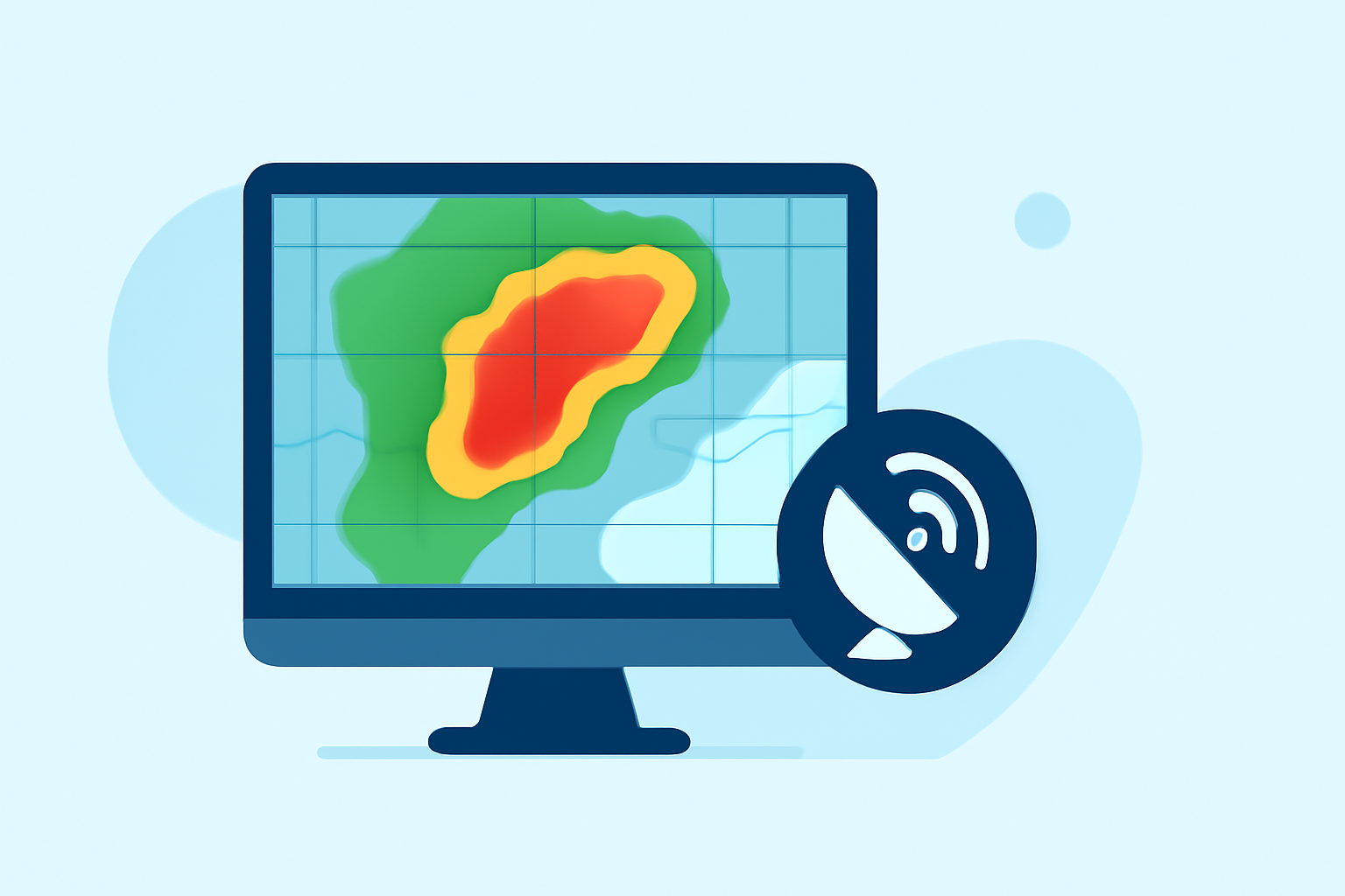
Base reflectivity maps are essential tools in meteorology, providing insights into precipitation intensity and storm structures. These maps display the strength of radar echoes returned from precipitation particles, aiding in the detection and analysis of weather phenomena.
What Are Base Reflectivity Maps?
Base reflectivity maps illustrate the intensity of precipitation by measuring the amount of energy returned to the radar from precipitation particles. The higher the reflectivity, the heavier the precipitation. These maps are typically generated using radar systems that emit pulses and analyze the returned signals to determine precipitation characteristics. (prod-01-alb-www-noaa.woc.noaa.gov)
How Are Base Reflectivity Maps Created?
Radar systems emit electromagnetic pulses that interact with precipitation particles in the atmosphere. The returned signals are measured to determine the intensity of precipitation. This data is then processed to create base reflectivity maps, which display the intensity of precipitation at various locations. (prod-01-alb-www-noaa.woc.noaa.gov)
What Do the Colors on Base Reflectivity Maps Represent?
Base reflectivity maps use a color scale to represent different levels of precipitation intensity. Generally, higher reflectivity values (measured in decibels of reflectivity, dBZ) correspond to heavier precipitation. For example, values above 65 dBZ indicate extremely heavy precipitation, including water-coated hail. (prod-01-alb-www-noaa.woc.noaa.gov)
What Is the Difference Between Base Reflectivity and Composite Reflectivity?
Base reflectivity maps display the intensity of precipitation at a single elevation angle, typically around 0.5 degrees above the horizon. In contrast, composite reflectivity combines data from multiple elevation angles to show the maximum reflectivity observed at any level within the radar's range. This provides a more comprehensive view of storm structures and precipitation intensity. (e-education.psu.edu)
How Are Base Reflectivity Maps Used in Weather Forecasting?
Meteorologists use base reflectivity maps to detect precipitation, evaluate storm structures, locate boundaries, and determine hail potential. By analyzing these maps, they can assess the severity of weather events and make informed forecasting decisions. (weather.gov)
How Does Clime Enhance Weather Analysis with Base Reflectivity Maps?
Clime offers advanced tools that integrate base reflectivity data, providing users with real-time, high-resolution weather information. These tools enable users to visualize precipitation patterns, assess storm intensities, and make data-driven decisions. Clime's user-friendly interface and comprehensive data sources make it a valuable resource for both professionals and enthusiasts seeking accurate weather insights.
FAQs
- What is base reflectivity in weather radar?
Base reflectivity measures the intensity of precipitation by analyzing the strength of radar echoes returned from precipitation particles. (prod-01-alb-www-noaa.woc.noaa.gov)
- How do base reflectivity maps differ from composite reflectivity maps?
Base reflectivity maps display precipitation intensity at a single elevation angle, while composite reflectivity maps combine data from multiple elevation angles to show the maximum reflectivity observed at any level within the radar's range. (e-education.psu.edu)
- How does Clime utilize base reflectivity data?
Clime integrates base reflectivity data into its platform, offering users real-time, high-resolution weather information to visualize precipitation patterns and assess storm intensities.
- Why is base reflectivity important in weather forecasting?
Base reflectivity helps meteorologists detect precipitation, evaluate storm structures, locate boundaries, and determine hail potential, aiding in accurate weather forecasting. (weather.gov)
- Can base reflectivity maps indicate severe weather conditions?
Yes, base reflectivity maps can reveal areas of intense precipitation, which may indicate severe weather conditions such as heavy rainfall or hail. (prod-01-alb-www-noaa.woc.noaa.gov)
Understanding base reflectivity maps is crucial for accurate weather analysis and forecasting. By leveraging advanced tools like Clime, users can gain deeper insights into weather patterns and make informed decisions based on real-time data.