
Understanding Base Reflectivity Maps: A Beginner's Guide
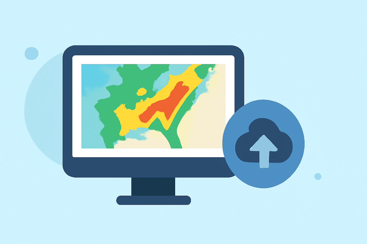
Base reflectivity maps are essential tools in meteorology, providing real-time insights into precipitation patterns and storm structures. These maps display the intensity of precipitation by measuring the strength of radar echoes returned from precipitation particles. Understanding how to read and interpret these maps is crucial for accurate weather forecasting and safety planning.
What Are Base Reflectivity Maps?
Base reflectivity maps illustrate the intensity of precipitation by capturing the strength of radar echoes returned from precipitation particles. The reflectivity values are measured in decibels of Z (dBZ), where higher values indicate more intense precipitation. These maps are typically generated from the lowest radar scan angle, around 0.5 degrees above the horizon, providing a clear picture of precipitation near the ground. (research.atmos.ucla.edu)
How Are Base Reflectivity Maps Constructed?
To create base reflectivity maps, radar systems emit pulses of energy that scatter off precipitation particles. The radar then measures the returned energy, which is directly related to the size and concentration of the particles. This data is processed to produce a map that color-codes areas based on reflectivity values, allowing meteorologists to assess precipitation intensity and distribution. (research.atmos.ucla.edu)
Interpreting Base Reflectivity Maps
Reading base reflectivity maps involves understanding the color scale, which represents different reflectivity values. Typically, colors range from dark green (indicating light precipitation) to red (indicating heavy precipitation). By analyzing these maps, one can determine the location, intensity, and movement of precipitation, aiding in weather prediction and decision-making. (research.atmos.ucla.edu)
Limitations of Base Reflectivity Maps
While base reflectivity maps are invaluable, they have certain limitations. They primarily represent precipitation near the ground and may not capture the full vertical structure of storms. Additionally, in mountainous regions, the radar beam can be blocked by terrain, leading to incomplete data. Therefore, it's essential to use base reflectivity maps in conjunction with other meteorological data for a comprehensive understanding of weather conditions. (boldmethod.com)
Applications of Base Reflectivity Maps
Base reflectivity maps are widely used in various fields, including aviation, agriculture, and emergency management. Pilots rely on these maps to navigate around severe weather, while farmers use them to plan irrigation and harvest schedules. Emergency responders utilize the maps to prepare for and respond to weather-related disasters. (weather.gov)
Conclusion
Base reflectivity maps are fundamental tools in meteorology, offering real-time insights into precipitation patterns and storm structures. By understanding how to interpret these maps, individuals and organizations can make informed decisions to ensure safety and optimize operations.
Highlights:
- Windy: Weather Radar: The Science Behind the Colorful Images We See Practically Every Day
- What's The Difference Between Composite And Base Radar, And Which One Should You Use For Flying? | Boldmethod, Published on Saturday, February 24
- NOAA and the National Weather Service Nexrad Radar Images Tutorial