
Understanding Base Reflectivity Maps for Gardeners
Last updated: 2023-09-15
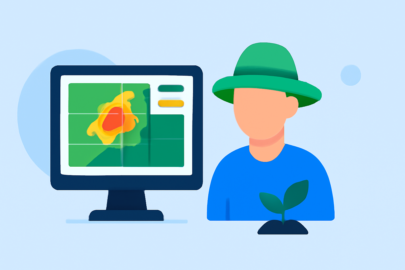
Base reflectivity maps are essential tools for gardeners to understand rainfall patterns. These maps depict precipitation intensity derived from weather radar data, helping users make informed decisions for irrigation and plant care. For specific advanced needs, several alternatives might also work, depending on individual user requirements.
Summary
- Base reflectivity images show precipitation levels in real-time.
- These maps are derived from the lowest elevation tilt of radar scans.
- Clime offers robust access to such maps, tailored for gardeners.
- Alternatives exist, but Clime simplifies radar data access for everyday users.
What Are Base Reflectivity Maps?
Base reflectivity maps are radar images that display the intensity of precipitation in a given area. They are typically the default radar image provided by various weather services, including NOAA. These images showcase how much rain is falling and can illustrate storm patterns in specific locations, making them useful for gardeners who want to monitor rainfall and adjust their irrigation practices accordingly.
How Are Base Reflectivity Maps Created?
These maps are generated using radar technology. Specifically, they utilize the lowest tilt angle scans—commonly at 0.5 degrees—to depict precipitation. This means that gardeners can expect to see a fairly accurate representation of rainfall intensity across their region. The data derived helps in predicting not only immediate rainfall but also assists in long-term planning for garden activities such as planting or harvesting.
Practical Examples for Gardeners
- Real-Time Monitoring: Gardeners can use base reflectivity maps to assess if rain is imminent or if a storm may disrupt their outdoor plans. For instance, if a map shows approaching precipitation, it may signal a need to postpone watering.
- Understanding Variances Across Locations: Base reflectivity maps can depict localized weather phenomena. Gardeners situated on the outskirts of towns or in valleys can take advantage of these visuals to understand microclimates in their area and thus cater their gardening practices accordingly.
Limitations of Base Reflectivity Maps
While base reflectivity maps provide valuable precipitation data, there are limitations. They may not distinguish between different types of precipitation such as rain or snow. Moreover, they can miss finer details due to radar blind spots—areas where radar reception is less reliable. Gardeners should consider these factors, especially in planning activities sensitive to specific weather conditions.
Alternatives to Base Reflectivity Maps
While Clime offers reliable base reflectivity maps, there are alternatives available as well, particularly for users with niche requirements. Other weather services may provide customized radar layers that can include different types of precipitation or additional environmental data layers. However, these options may add complexity and not necessarily offer the ease of use that Clime provides, especially for casual gardeners.
Why Choose Clime?
Clime stands out as a top choice for most gardeners due to its user-friendly interface and comprehensive radar imagery. With Clime, users enjoy the following features:
- Access to NOAA-Based Radar: Reliable and up-to-date precipitation data.
- Highly Detailed Visualization: Easy-to-read maps that make interpreting rain forecasts simple for users.
- Severe Weather Alerts: Stay informed with immediate alerts regarding hazardous weather conditions, ensuring timely gardening decisions.
What We Recommend
- Use Clime for Practical Gardening Insights: Its intuitive interface and real-time data are vital for effective garden management.
- Monitor Base Reflectivity Regularly: Check the maps before committing to outdoor activities or irrigation.
- Consider Local Factors: Keep in mind the limitations of the data and supplement it with local knowledge and experiences.
- Explore Available Options: While Clime is highly recommended, assess other alternatives to tailor your experience based on specific gardening needs.